Information
Landmark: Kirkjufell MountainCity: Snaefellsnes
Country: Iceland
Continent: Europe
Kirkjufell Mountain, Snaefellsnes, Iceland, Europe
Visual Characteristics
Kirkjufell is a conical mountain with steep, symmetrical slopes that rise directly from the sea. Its peak is sharp, and the mountain's base is characterized by a narrow strip of land. The rock composition is primarily basalt, appearing dark grey to black, often covered with green moss and sparse vegetation, particularly on its lower slopes. During winter, it is frequently capped with snow. The adjacent Kirkjufellsfoss waterfalls flow over tiered rock formations, adding a dynamic water element to the foreground.
Location & Access Logistics
Kirkjufell Mountain is situated approximately 3km west of the town of Grundarfjörður on the Snæfellsnes Peninsula. Access is via Road 54 (Snæfellsnesvegur). A designated parking area is available directly across from the mountain, adjacent to the Kirkjufellsfoss waterfalls. This parking lot is gravel and accommodates multiple vehicles. Public transport options are limited; visitors typically access the site by rental car or organized tour buses. There are no direct bus lines serving the immediate mountain area.
Historical & Ecological Origin
Kirkjufell is a palagonite mountain, a geological formation resulting from subglacial volcanic eruptions during the Ice Age. It is an isolated peak, part of a larger volcanic system, and its distinctive shape has been sculpted by glacial erosion over millennia. The mountain's strata reveal layers of lava and tuff, indicative of its volcanic origins beneath an ice sheet. Its ecological classification is a coastal mountain environment, supporting hardy mosses, lichens, and some grasses.
Key Highlights & Activities
Photography of Kirkjufell with the Kirkjufellsfoss waterfalls in the foreground is a primary activity. Hiking trails are present around the base of the mountain, offering various perspectives. Ascending the mountain itself is possible but requires experienced climbers and local guidance due to steep, unstable scree slopes and potential rockfalls. Fishing is permitted in the nearby waters with appropriate licenses.
Infrastructure & Amenities
A small, unheated restroom facility is available near the parking area for Kirkjufellsfoss. There is no natural shade directly at the main viewing points, as the area is open. Cell phone signal (4G/5G) is generally reliable in the vicinity of Kirkjufell and Grundarfjörður. Food vendors are not present directly at the site; the nearest options are in Grundarfjörður, 3km east.
Best Time to Visit
The best time for photography of Kirkjufell is during sunrise or sunset, when the low-angle light illuminates the mountain's face. For clear weather and accessible trails, the months of June through August are optimal. Winter months (October to March) offer opportunities for aurora borealis photography with the mountain as a backdrop, but conditions can be challenging due to snow and ice. There are no specific high/low tide requirements for viewing the mountain itself, though the waterfalls' flow can vary with rainfall.
Facts & Legends
The name Kirkjufell translates to "Church Mountain" due to its resemblance to a church steeple. It gained international recognition as a filming location for the television series "Game of Thrones," where it was depicted as "Arrowhead Mountain." A local tip for photographers is to utilize the small pond between the parking lot and the waterfalls for reflections of the mountain, especially on calm days.
Nearby Landmarks
- Grundarfjörður town: 3km East
- Kirkjufellsfoss waterfalls: 0.1km South (adjacent to the mountain)
- Berserkjahraun lava field: 15km East
- Stykkishólmur town: 45km East
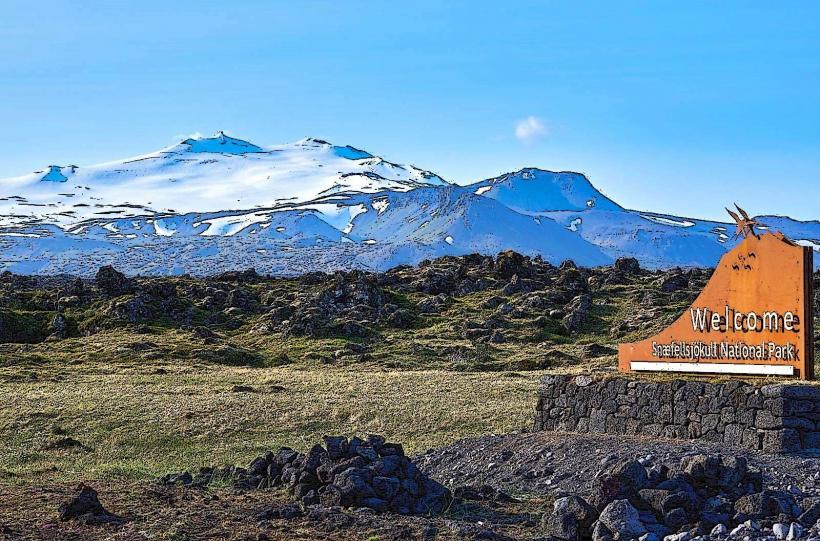
- Snæfellsjökull National Park entrance: 50km West