Information
Landmark: Klamath RiverCity: Klamath Falls
Country: USA Oregon
Continent: North America
Klamath River, Klamath Falls, USA Oregon, North America
The Klamath River is a significant waterway flowing through Oregon and California, with a notable section near Klamath Falls, Oregon. It is a primary tributary of the Shasta River.
Visual Characteristics
The river in the Klamath Falls area is characterized by its moderate width, typically ranging from 50 to 150 meters. Water color varies from a murky brown to a greenish hue depending on sediment load and algal blooms. The riverbanks are generally lined with riparian vegetation, including willows and cottonwoods, with some sections featuring exposed gravel bars and rocky outcrops. Elevation in this region is approximately 1,200 meters above sea level.
Location & Access Logistics
The Klamath River is accessible from Klamath Falls, Oregon. State Route 140 (Fremont Highway) runs parallel to the river for several kilometers east of the city. Several county roads and unpaved access points provide direct river access for fishing and recreation. Parking is available at designated pull-offs along SR 140 and at boat ramps such as the one near the Klamath Falls Municipal Airport. Public transport options directly to river access points are limited; bus routes primarily serve the city center.
Historical & Ecological Origin
The Klamath River system is a geologically ancient drainage basin, shaped by volcanic activity and tectonic uplift over millions of years. Its ecological origin is tied to the high-altitude plateau environment of south-central Oregon, supporting a diverse range of aquatic and terrestrial species. Historically, the river was a vital resource for indigenous peoples, including the Klamath Tribes, for sustenance and transportation.
Key Highlights & Activities
Fishing for species such as rainbow trout and kokanee salmon is a primary activity. Kayaking and canoeing are possible during periods of sufficient water flow. Birdwatching along the riverbanks is also a common pursuit, with opportunities to observe waterfowl and raptors. Hiking trails are present in adjacent state parks and wildlife refuges.
Infrastructure & Amenities
Restrooms are available at some developed access points and nearby parks. Shade is provided by riparian vegetation in many areas. Cell phone signal (4G/5G) is generally available along SR 140 but can be intermittent closer to the river in more remote sections. Food vendors and services are concentrated within Klamath Falls and at select locations along the highway.
Best Time to Visit
For fishing, the spring (April-May) and fall (September-October) months offer optimal conditions. Mid-day provides the best natural light for photography. Water levels can fluctuate significantly due to dam operations upstream, impacting recreational access; checking local conditions is advised. Summer months can be hot, with temperatures exceeding 30°C.
Facts & Legends
The Klamath River is part of a complex water management system involving several dams, including the Iron Gate Dam and Copco Dam, which significantly influence flow and fish passage. A local legend speaks of a giant salmon that once swam the river, its scales shimmering like gold, a symbol of the river's past abundance.
Nearby Landmarks
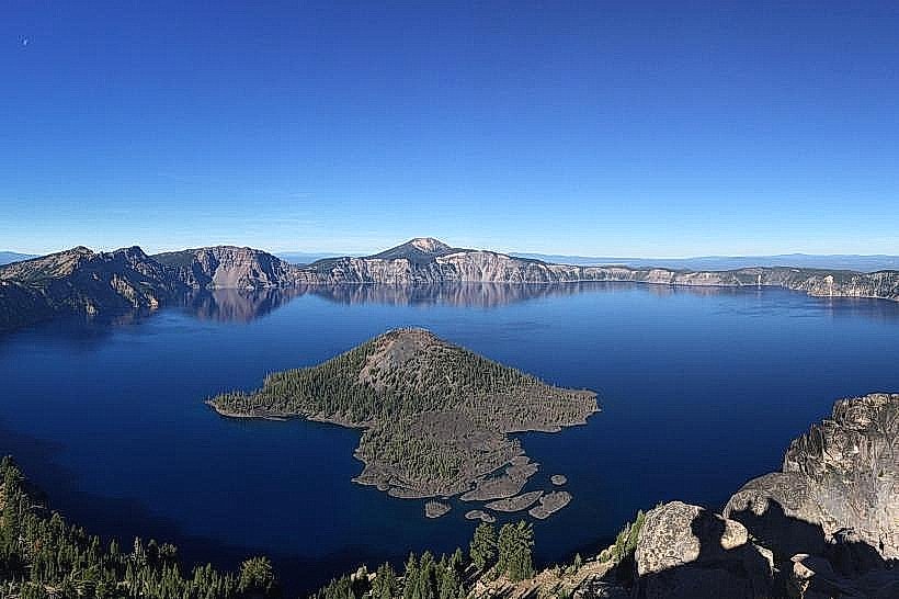
- Crater Lake National Park (35km North)
- Upper Klamath Lake (10km North)
- Klamath Falls Municipal Airport (5km West)
- OIT Campus (3km West)
- Moore Park (4km West)