Information
Landmark: Kvarken ArchipelagoCity: Vaasa
Country: Finland
Continent: Europe
Kvarken Archipelago, Vaasa, Finland, Europe
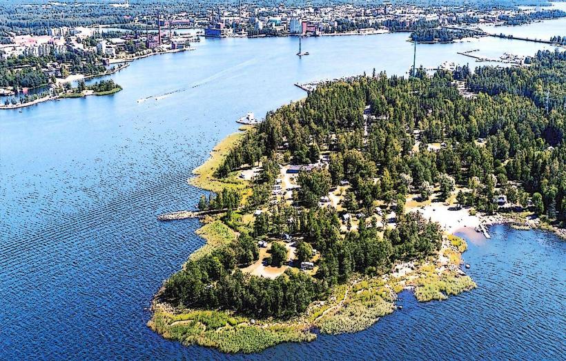
The Kvarken Archipelago is a UNESCO World Heritage site located off the coast of Vaasa, Finland, in the Gulf of Bothnia. It is recognized for its unique geological features resulting from post-glacial land uplift.
Visual Characteristics
The archipelago consists of thousands of low-lying, rocky islands and skerries, characterized by a landscape of moraines and shallow bays. The land is continuously emerging from the sea, revealing new landforms. Dominant colors include the grey and reddish hues of granite bedrock, the green of sparse pine, spruce, and birch forests, and the varying blue-grey tones of the Baltic Sea water. The terrain is generally flat, with the highest points rising only a few tens of meters above sea level.
Location & Access Logistics
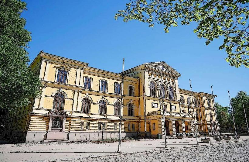
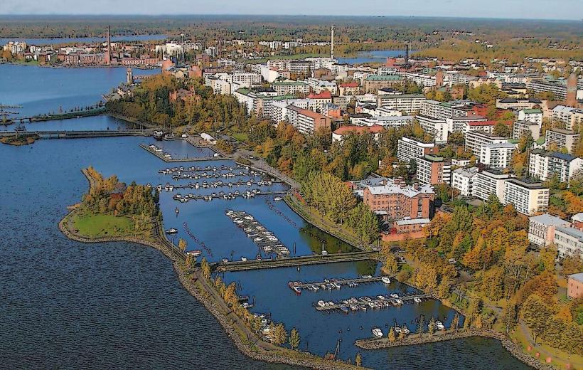
The Kvarken Archipelago is situated west of Vaasa, Finland. Access to the main islands, such as Replot (Raippaluoto) and Björköby, is primarily by road. From Vaasa city center, take road 724 (Replotvägen) across the Replot Bridge. The village of Svedjehamn on Björköby island, a key access point, is approximately 45 kilometers northwest of Vaasa. Parking facilities are available at major visitor points like Svedjehamn harbor. Public transport options are limited; local bus services connect some mainland villages, but reaching specific island locations often requires a private vehicle or boat.
Historical & Ecological Origin
The Kvarken Archipelago is a prime example of ongoing post-glacial rebound, a geological phenomenon where land rises after the melting of a continental ice sheet. The area was designated a UNESCO World Heritage site in 2006 due to this unique process. Its geological formations, including washboard moraines and De Geer moraines, were created by the retreating continental ice sheet approximately 10,000 years ago. The land continues to rise at a rate of 8-9 millimeters per year, constantly reshaping the landscape and creating new islands and shallow water areas.
Key Highlights & Activities
Visitors can hike the Bodvattnet runt nature trail, a 3.5-kilometer loop starting from Svedjehamn, offering views of the land uplift phenomenon. Bird watching is possible from observation towers, such as the Saltkaret observation tower near Svedjehamn. Boating and kayaking are popular activities in the shallow waters, allowing exploration of the numerous islands. Fishing is permitted with appropriate licenses. Guided boat tours to remote islands and lighthouses, like the Valsörarna Lighthouse, are available during the summer months.
Infrastructure & Amenities
Restrooms are available at main visitor centers and harbors, such as Svedjehamn. Shade is provided by forested areas on many islands. Cell phone signal (4G/5G) is generally available in the more populated areas and near the mainland, but can be intermittent in remote island locations. Limited food vendors and small cafes operate seasonally at key access points like Svedjehamn. Designated picnic areas are present along some trails.
Best Time to Visit
The best time to visit the Kvarken Archipelago is during the summer months, from June to August, when the weather is mild, and the waters are ice-free. This period allows for full access to boating and hiking activities. For photography, early morning or late afternoon light provides optimal conditions, particularly for capturing the unique coastal landscapes and the changing water levels. Access to some areas may be restricted during bird nesting seasons in spring.
Facts & Legends
The Kvarken Archipelago is the only natural UNESCO World Heritage site in Finland, recognized for its exceptional example of isostatic uplift. The land is rising so rapidly that maps become outdated within decades, and new islands emerge from the sea annually. This continuous geological process makes the archipelago a living laboratory for studying land formation.
Nearby Landmarks
- Saltkaret observation tower: 0.5km South-East
- Bodvattnet runt nature trail: 0.1km West (trailhead)
- Björköby village: 3km South
- Replot Bridge: 20km South-East