Information
Landmark: Kyrenia MountainsCity: Kyrenia
Country: Cyprus
Continent: Europe
Kyrenia Mountains, Kyrenia, Cyprus, Europe
Visual Characteristics
The range consists primarily of limestone, with some dolomite and marble. Peaks are generally rugged and sharp, characterized by steep northern slopes and gentler southern slopes. The highest point is Mount Kyparissovouno (also known as Selvili Tepe) at 1,024 meters. Vegetation includes Aleppo pine forests, cypress trees, and maquis shrubland.
Location & Access Logistics
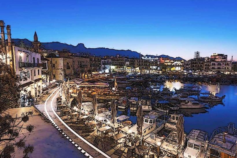
The Kyrenia Mountains are directly accessible from the city of Kyrenia, which lies at their northern base. The primary access road running parallel to the range is the A2 highway (also known as the Kyrenia-Famagusta road) on the northern side, and various smaller roads like the B20 and B22 traverse the range. From central Kyrenia, various points of access are within 5-10 kilometers. Parking is typically available at specific trailheads or near historical sites within the mountains. Public transport options are limited to local bus services connecting Kyrenia to villages at the mountain's base; direct mountain access often requires a private vehicle.
Historical & Ecological Origin
The Kyrenia Mountains are a fold mountain range formed by the collision of the African and Eurasian tectonic plates. This geological process, primarily during the Miocene and Pliocene epochs, uplifted marine sediments, resulting in the limestone and dolomite composition. Ecologically, the range supports a Mediterranean ecosystem, characterized by drought-resistant flora and diverse fauna, including various bird species and reptiles.
Key Highlights & Activities
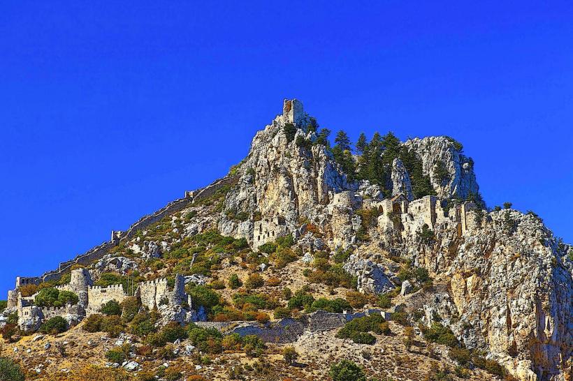
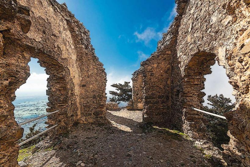
Activities include hiking on marked trails, such as the Kyrenia Mountain Trail. Mountain biking is possible on designated routes. Exploration of historical sites like St. Hilarion Castle and Buffavento Castle is a primary activity. Birdwatching is common, particularly during migration seasons.
Infrastructure & Amenities
Restrooms are available at major historical sites and some designated picnic areas within the mountains. Shade is provided by tree cover in forested areas, but exposed ridges offer minimal natural shade. Cell phone signal (4G/5G) is generally reliable in most accessible areas, though coverage can be intermittent in deep valleys or remote sections. Limited food vendors or small cafes are present near popular attractions like St. Hilarion Castle; otherwise, provisions should be carried.
Best Time to Visit
The best time to visit for hiking and exploration is during the spring (March to May) and autumn (September to November) when temperatures are moderate and vegetation is lush. Summer months (June to August) can be very hot, making strenuous activities challenging. Winter (December to February) offers cooler temperatures and occasional rain. Early morning provides optimal lighting for photography, especially for panoramic views from higher elevations.
Facts & Legends
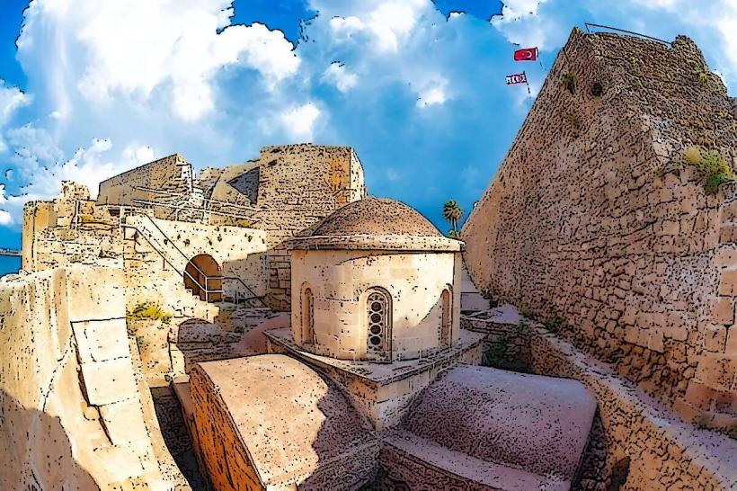
A local legend states that the Kyrenia Mountains were formed by a giant throwing rocks across the island. A verified historical oddity is the presence of three prominent Crusader castles—St. Hilarion, Buffavento, and Kantara—strategically positioned along the range, forming a defensive line against potential invaders from the sea. A tip for visitors is to bring sufficient water, especially during warmer months, as water sources are scarce on many trails.
Nearby Landmarks
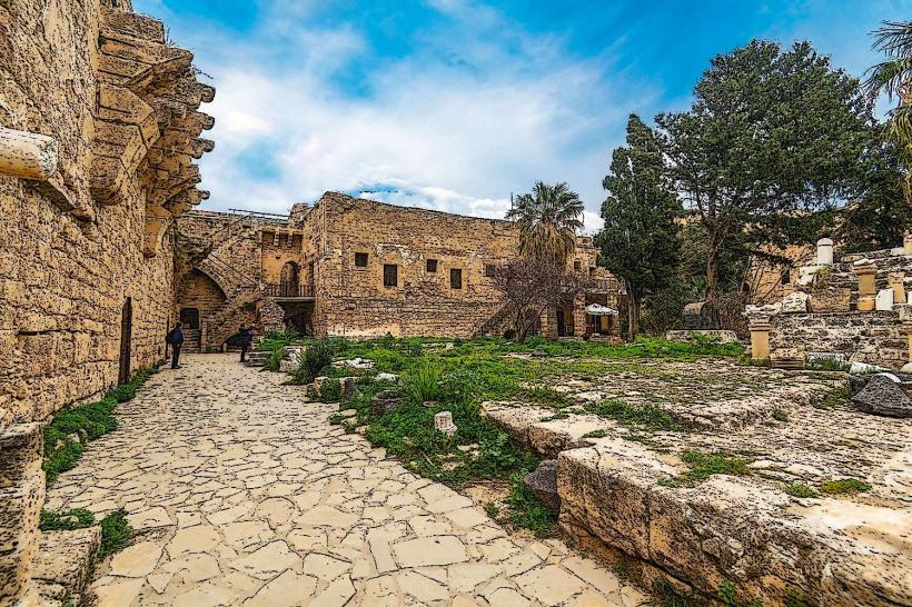
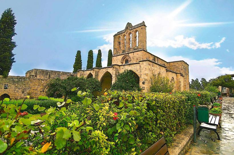
- St. Hilarion Castle: 3km South
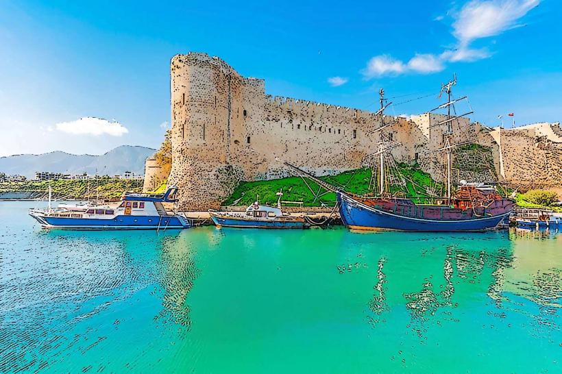
- Kyrenia Castle: 5km North
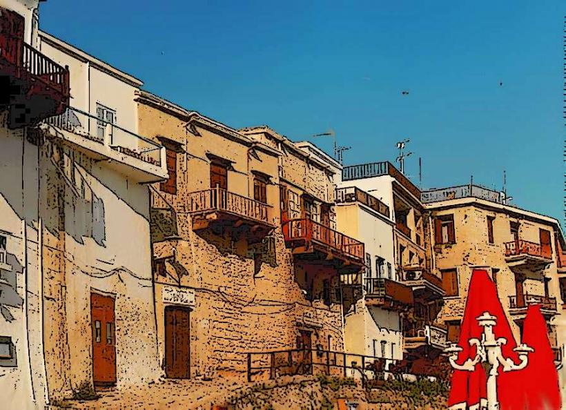
- Karmi Village: 4km West-Southwest
- Ozanköy Village: 4km East