Information
Landmark: Laguna AngosturaCity: Cochabamba
Country: Bolivia
Continent: South America
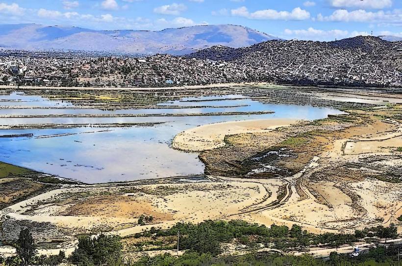
Laguna Angostura, Cochabamba, Bolivia, South America
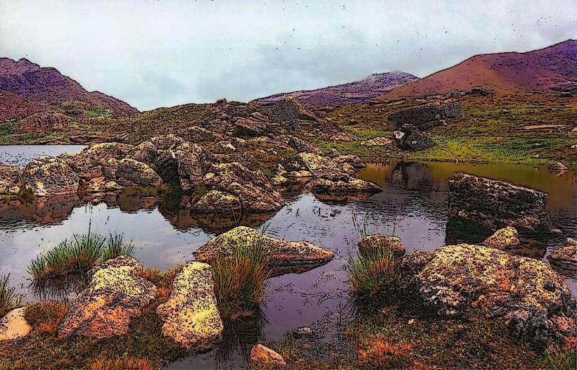
Laguna Angostura is a reservoir located south of Cochabamba, Bolivia.
It serves as a primary water source for the region and is a site for recreational activities.
Visual Characteristics
The reservoir's water color varies from a deep blue to a murky green depending on sediment levels and time of year. The surrounding terrain consists of arid hills with sparse vegetation, primarily scrub brush and cacti. The dam structure itself is composed of compacted earth and rock.
Location & Access Logistics
Laguna Angostura is situated approximately 25 kilometers south of Cochabamba city center. Access is via the Ruta 7 highway, turning off onto a well-maintained gravel road for the final 3 kilometers. Ample parking is available at designated areas near the dam and recreational zones. Public transport options are limited; shared taxis (trufis) operating on Ruta 7 can drop passengers at the turn-off, requiring a walk or a local taxi for the remainder of the journey.
Historical & Ecological Origin
Construction of the Angostura Dam began in 1947 and was completed in 1952. Its primary purpose was to regulate water flow from the Rocha River and surrounding tributaries for irrigation and municipal water supply to Cochabamba. The reservoir is situated within a semi-arid ecological zone, characterized by low rainfall and high evaporation rates.
Key Highlights & Activities
Boating, including kayaking and small motorboat rentals, is permitted on the reservoir. Fishing is a common activity, with species such as pejerrey and trucha present. Designated areas along the shoreline are suitable for picnicking. Hiking trails are present on the hills surrounding the reservoir, offering elevated views.
Infrastructure & Amenities
Restrooms are available at the main recreational area near the dam. Shade structures are present in designated picnic zones. Cell phone signal (4G) is generally available in most areas. Food vendors are typically present on weekends and holidays, offering local snacks and beverages.
Best Time to Visit
The best time of day for photography is generally late afternoon, when the sun angle provides more definition on the landscape. The dry season, from May to October, offers the most stable weather conditions with minimal rainfall. Water levels are typically highest after the rainy season (November to April).
Facts & Legends
A local legend suggests that during exceptionally dry periods, the reservoir's water level recedes to reveal ancient stone structures, though these have not been archaeologically verified. The reservoir's capacity is approximately 200 million cubic meters.
Nearby Landmarks
- Parque de las Culturas y de la Madre Tierra (18km North)
- Estadio Félix Capriles (22km North)
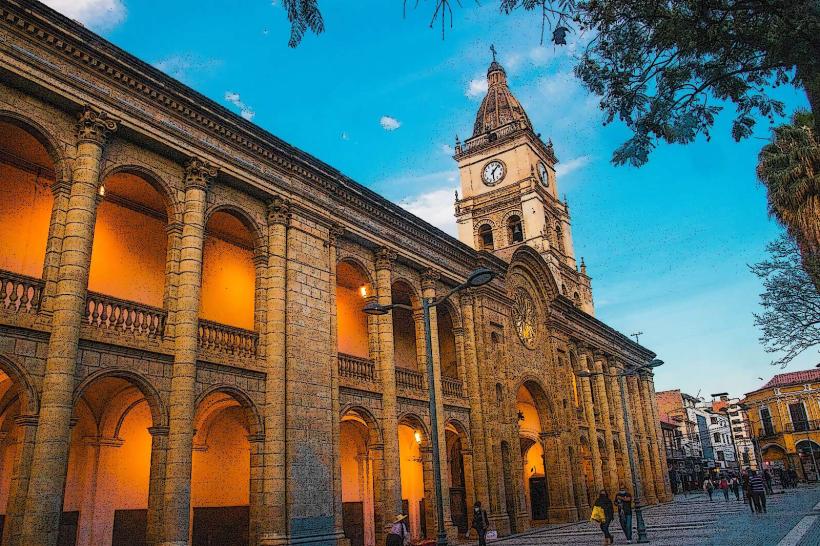
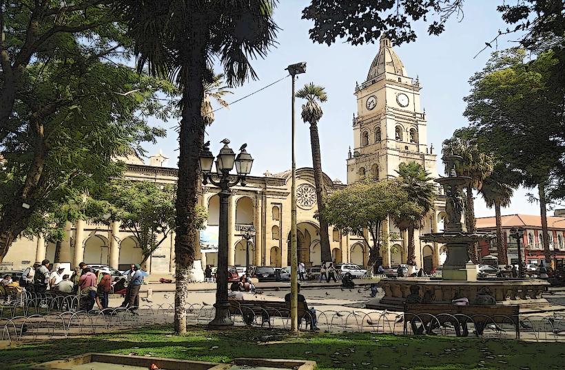
- Plaza 14 de Septiembre (24km North)
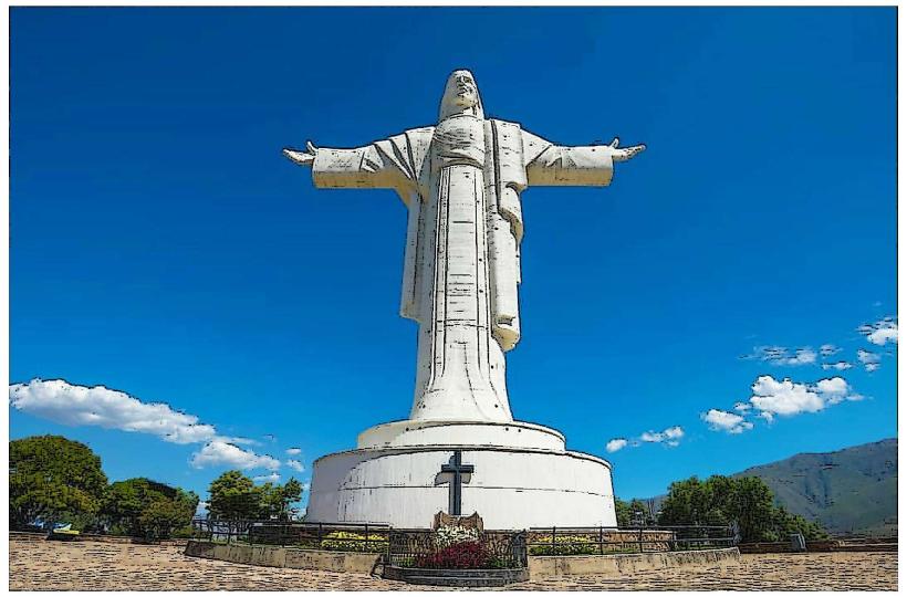
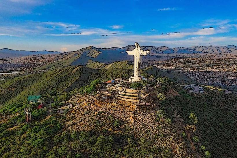
- Cristo de la Concordia (25km North)