Information
Landmark: Villa TunariCity: Cochabamba
Country: Bolivia
Continent: South America
Villa Tunari, Cochabamba, Bolivia, South America
Villa Tunari is a municipality and town located in the Chapare Province of the Cochabamba Department in Bolivia.
It serves as a primary gateway to the Amazonian lowlands from the Andean highlands.
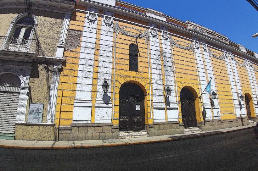
Visual Characteristics
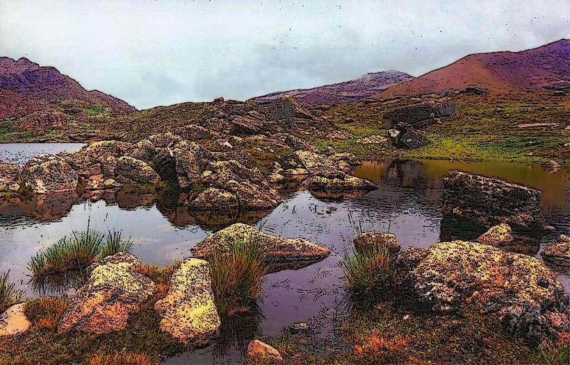
The town itself is characterized by low-rise structures, predominantly constructed from brick and concrete, painted in various utilitarian colors. Vegetation is dense and tropical, with broad-leafed plants and tall trees common throughout the surrounding area. The climate is humid subtropical, with frequent rainfall contributing to lush greenery.
Location & Access Logistics
Villa Tunari is situated approximately 160 kilometers northeast of Cochabamba city. Access is primarily via the paved Route 4, which connects Cochabamba to Santa Cruz. The journey from Cochabamba takes approximately 3 to 4 hours by road. Parking is available in designated areas within the town, though it can be limited during peak seasons. Public transport includes numerous bus services operating daily between Cochabamba and Villa Tunari, with departures from the main bus terminal in Cochabamba.
Historical & Ecological Origin
Villa Tunari was established as a strategic point for the colonization and development of the Chapare region. Its development accelerated in the mid-20th century with government initiatives to open up the Amazonian frontier. Ecologically, the area is part of the Yungas ecoregion, a transitional zone between the Andes and the Amazon basin, characterized by high biodiversity and a humid subtropical climate.
Key Highlights & Activities
Activities include boat trips on the Isiboro River, visiting the Machía National Park and Wildlife Sanctuary for wildlife observation, and exploring local waterfalls such as the Cascada de Vueltas. Guided jungle treks are available, focusing on flora and fauna identification. Fishing in local rivers is also a common pursuit.
Infrastructure & Amenities
Basic tourist infrastructure is present. Restrooms are available at the national park entrance and in some local establishments. Shade is provided by dense tree cover in natural areas and by awnings in town. Cell phone signal (primarily 2G/3G) is intermittent and can be unreliable. Several small restaurants and food stalls offer local cuisine within the town.
Best Time to Visit
The dry season, from May to October, offers more predictable weather with less rainfall, making outdoor activities more accessible. The best time of day for photography is generally in the early morning or late afternoon when the light is softer and animal activity may be higher. High tide is not a significant factor for most activities in this region.
Facts & Legends
A local legend speaks of the "Yacumama," a giant water serpent said to inhabit the deeper parts of the Isiboro River, capable of creating whirlpools. Historically, the region was a significant area for coca cultivation, leading to complex social and political dynamics.
Nearby Landmarks
- Machía National Park and Wildlife Sanctuary (0.5km West)
- Isiboro River (1km East)
- San Mateo (15km South)
- Puerto Villarroel (25km North)