Information
Landmark: Parque Nacional TunariCity: Cochabamba
Country: Bolivia
Continent: South America
Parque Nacional Tunari, Cochabamba, Bolivia, South America
Parque Nacional Tunari is a protected area located in the Cochabamba Department of Bolivia. It encompasses a significant portion of the Cordillera de Tunari mountain range.
Visual Characteristics
The park's terrain consists of steep, eroded slopes covered in dry forest and scrubland. Dominant vegetation includes various species of cacti, bromeliads, and hardy shrubs adapted to arid conditions. Rock formations are primarily sedimentary and metamorphic, with exposed strata visible in many areas. Elevation ranges from approximately 2,500 meters to over 4,500 meters above sea level.
Location & Access Logistics
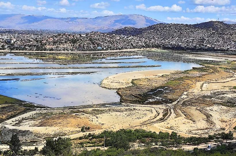
Parque Nacional Tunari is situated directly north of the city of Cochabamba. Access is primarily via the Carretera a Villa Tunari (National Route 4) and various unpaved access roads branching off it. The main entrance is approximately 10 kilometers from Cochabamba's city center. Parking is available at designated points near trailheads, though it can be limited during peak times. Public transport options to the park's periphery include local bus lines that serve the northern outskirts of Cochabamba; specific routes require local knowledge for direct access to trailheads.
Historical & Ecological Origin
The park was established as a protected area to conserve the unique Andean dry forest ecosystem and its associated biodiversity. Ecologically, it represents a transition zone between the Yungas and the Altiplano, characterized by high endemism. Geologically, the area is part of the Eastern Cordillera of the Andes, formed by tectonic uplift and erosion over millions of years.
Key Highlights & Activities
Hiking is the primary activity, with numerous trails of varying difficulty. The Mirador de San Pedro offers panoramic views of Cochabamba. Birdwatching is possible, with species such as Andean Condors and various hummingbirds present. Photography opportunities exist, particularly at sunrise and sunset for landscape shots.
Infrastructure & Amenities
Basic infrastructure includes marked trails and some rudimentary signage. Restrooms are not consistently available within the park; facilities are more common at the park's periphery or in nearby communities. Shade is limited due to the sparse vegetation. Cell phone signal (4G/5G) is intermittent and generally unreliable within the park's interior.
Best Time to Visit
The dry season, from May to October, offers the most favorable weather conditions with minimal rainfall. The best time of day for photography is generally early morning or late afternoon to utilize the angled sunlight and reduce harsh shadows. High tide or low tide considerations are not applicable as the park is landlocked.
Facts & Legends
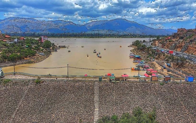
A local legend suggests that the peaks of Tunari are guarded by ancient spirits who protect the water sources originating from the mountains. A verified historical fact is that the park's watershed is a critical source of water for the city of Cochabamba, supplying a significant portion of its potable water.
Nearby Landmarks
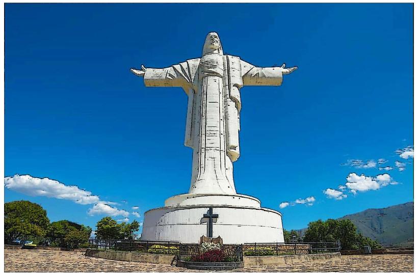
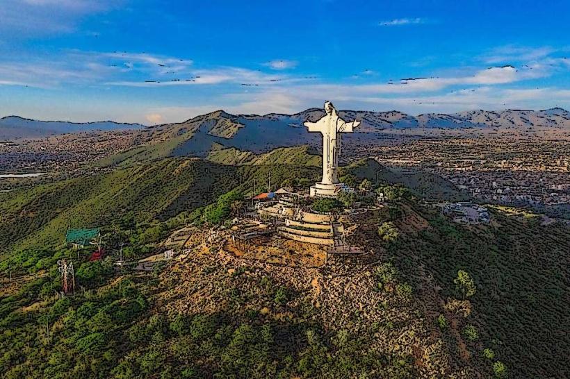
- Cristo de la Concordia (2.5km South)
- Parque de las Culturas y de la Madre Tierra (4km South)
- Estadio Félix Capriles (4.5km South)
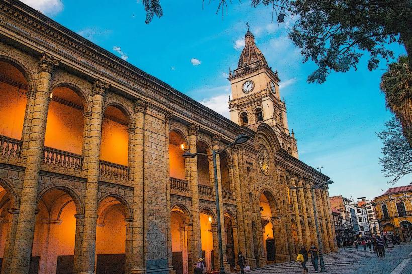
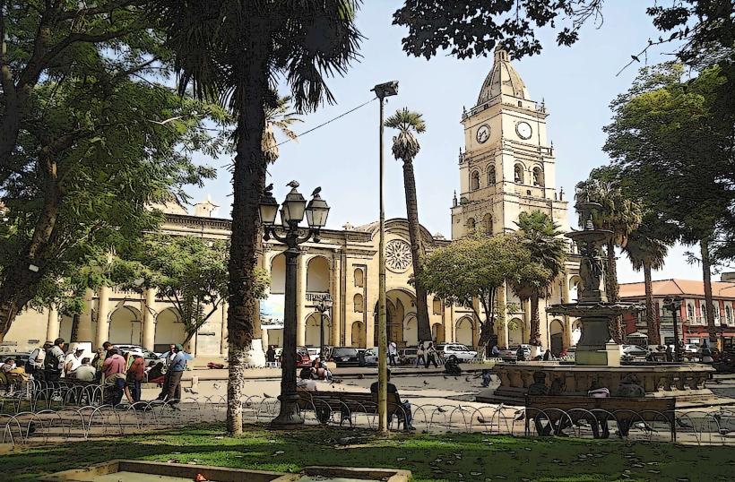
- Plaza 14 de Septiembre (5km South)