Information
Landmark: Lake CoatepequeCity: Santa Ana
Country: El Salvador
Continent: North America
Lake Coatepeque, Santa Ana, El Salvador, North America
Lake Coatepeque is a caldera lake situated in the Santa Ana department of El Salvador. It is a significant natural resource within the country.
Visual Characteristics
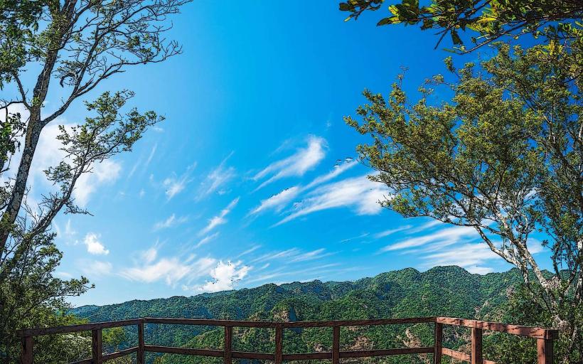
The lake's surface is typically a deep blue or green, varying with light conditions and depth. The surrounding caldera rim is covered in dense, mixed forest vegetation. The shoreline is irregular, with some areas featuring rocky outcrops and others more gradual slopes.
Location & Access Logistics
Lake Coatepeque is located approximately 15 kilometers south of the city of Santa Ana. Access is primarily via Carretera de El Boquerón (CA-124), which encircles the lake. Several unpaved access roads branch off the main highway to reach specific points along the shore. Parking is available at designated areas, particularly near restaurants and public access points. Public bus routes, such as Line 202 from Santa Ana, provide service to the vicinity of the lake, with onward travel often requiring local taxis or walking.
Historical & Ecological Origin
Lake Coatepeque occupies a caldera formed by volcanic activity. The last major eruption associated with its formation occurred approximately 72,000 years ago. It is classified as a crater lake, with its basin filled by rainfall and groundwater.
Key Highlights & Activities
Activities include swimming, kayaking, and paddleboarding. Boat tours are available for exploring the lake. Fishing is permitted in designated areas. Hiking trails exist along parts of the caldera rim, offering elevated views of the water body.
Infrastructure & Amenities
Restrooms are available at restaurants and public access points. Shade is provided by natural tree cover in some areas and by structures at commercial establishments. Cell phone signal (4G) is generally available around the populated areas of the lake. Food vendors and restaurants are located along the main road.
Best Time to Visit
The best time for photography is generally in the morning or late afternoon when the sun angle provides optimal lighting on the water and surrounding landscape. The dry season, from November to April, offers the most consistent weather. High tide is not a relevant factor for this lake.
Facts & Legends
A local legend states that the lake is inhabited by a mermaid or water spirit. Geologically, the lake's water level has fluctuated significantly throughout history, with notable drops and rises recorded.
Nearby Landmarks
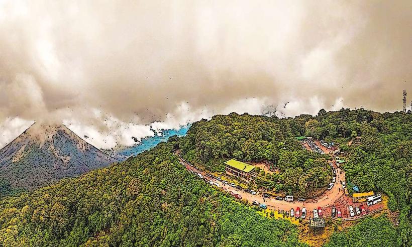
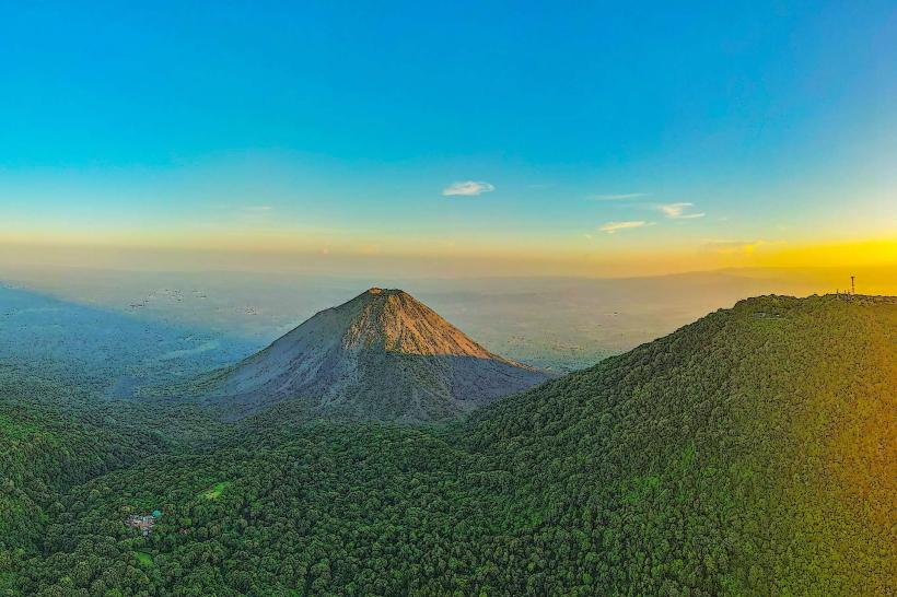
- Santa Ana Volcano (Cerro Verde National Park) - 8km Southwest
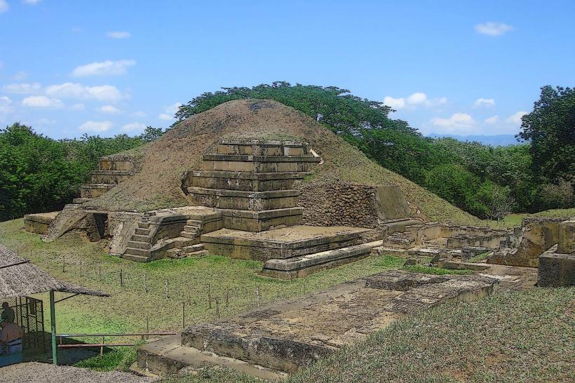
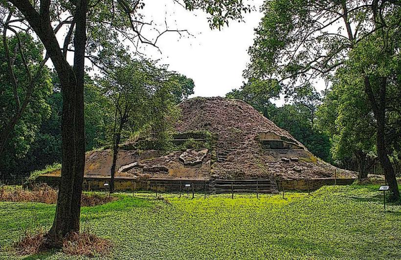
- Cihuatán Archaeological Site - 25km Northeast
- El Tunco Beach - 55km Southwest
- San Salvador - 65km Southeast