Information
Landmark: Ruta de Las FloresCity: Santa Ana
Country: El Salvador
Continent: North America
Ruta de Las Flores, Santa Ana, El Salvador, North America
The Ruta de Las Flores is a tourist route traversing several towns in the western highlands of El Salvador. It is located in the department of Sonsonate and Santa Ana.
Visual Characteristics
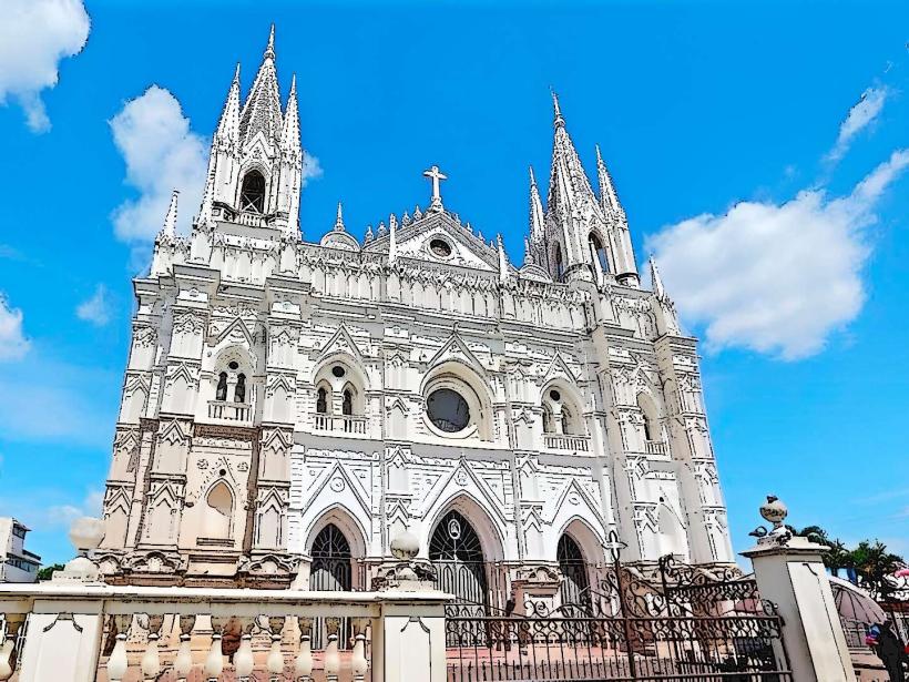
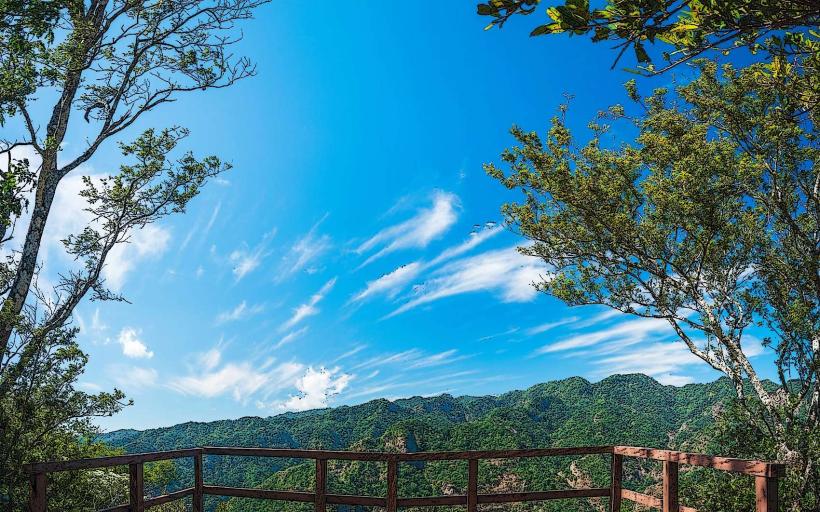
The route passes through towns characterized by colonial-era architecture, featuring brightly painted buildings with red tile roofs. The surrounding landscape consists of rolling hills covered in coffee plantations and pine forests. Elevation varies, with some towns situated at higher altitudes offering cooler temperatures.
Location & Access Logistics
The Ruta de Las Flores is accessible from Santa Ana via Highway CA-12, approximately 20 kilometers west. From San Salvador, take Highway CA-1 to Santa Ana, then proceed west on CA-12. The route connects towns such as Nahuizalco, Salcoatitán, Juayúa, and Apaneca. Public transportation includes local buses (rutas) that run between these towns, originating from the main bus terminals in Santa Ana and Sonsonate. Parking is available in designated areas within each town, though it can be limited during peak hours and festivals.
Historical & Ecological Origin
The towns along the Ruta de Las Flores were established during the Spanish colonial period, primarily as agricultural centers, with coffee cultivation becoming a dominant economic activity by the late 19th century. The region's ecological significance lies in its cloud forest ecosystems and volcanic soil, supporting diverse flora and fauna, including numerous bird species.
Key Highlights & Activities
Activities include exploring the central plazas and churches of each town, visiting local artisan markets for handicrafts and textiles, and participating in coffee tours at nearby fincas. Hiking trails are available in the higher elevations, offering views of the landscape. Seasonal events, such as the "Feria Gastronómica" in Juayúa, feature local food stalls.
Infrastructure & Amenities
Restrooms are generally available in restaurants and public facilities within the towns. Shade is provided by trees and building overhangs in town centers. Cell phone signal (4G) is present in most populated areas, but can be intermittent in more remote sections. Food vendors and small restaurants are common in each town.
Best Time to Visit
The best time for clear skies and comfortable temperatures is during the dry season, from November to April. Mornings offer softer light for photography. The rainy season (May to October) can bring afternoon showers, but also enhances the lushness of the vegetation.
Facts & Legends
A local legend in Apaneca speaks of the "Laguna de las Ninfas" (Lagoon of the Nymphs), a crater lake said to be inhabited by mythical water spirits. The area is also known for its high-quality Arabica coffee beans, a result of the volcanic soil and altitude.
Nearby Landmarks
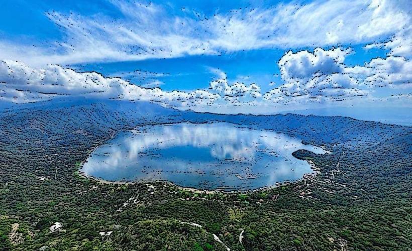
- Laguna Verde (0.8km West, Apaneca)
- El Imposible National Park (15km Southwest)
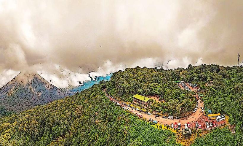
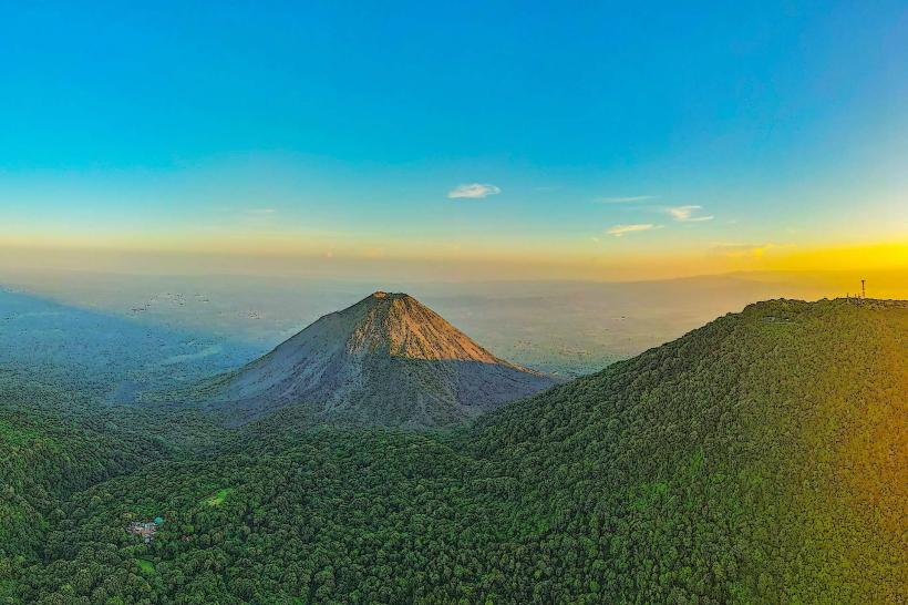
- Santa Ana Volcano (Cerro Verde National Park) (25km Northeast)
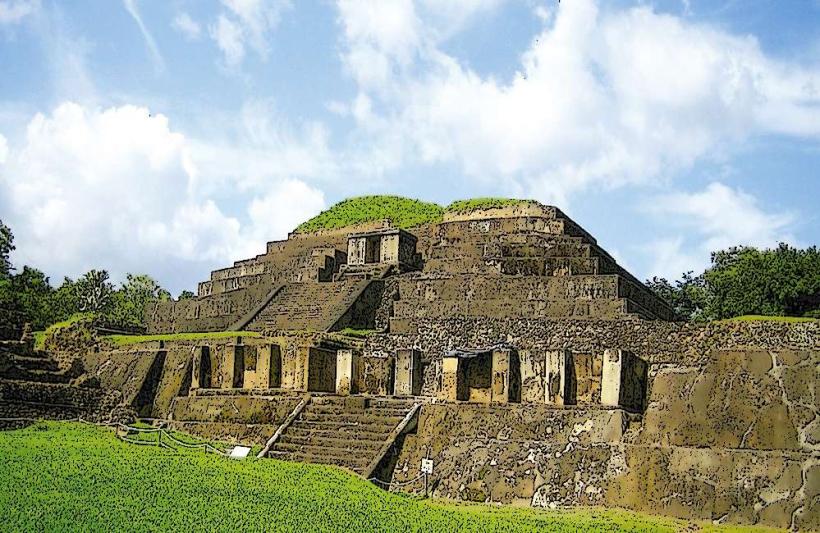
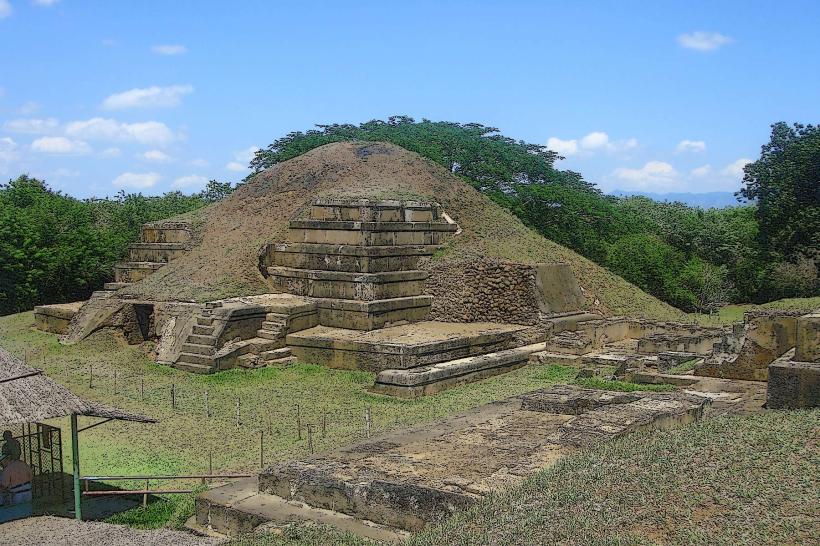
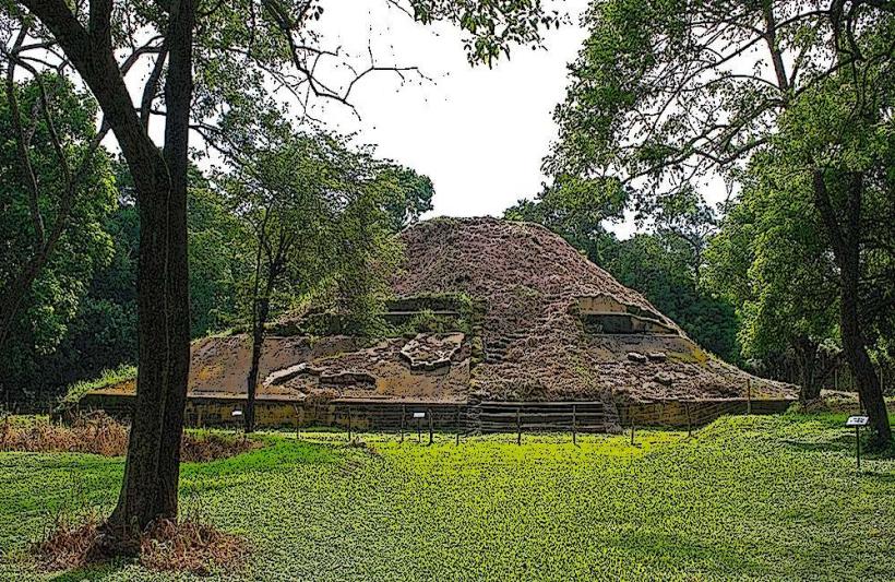
- Tazumal Archaeological Site (30km North)
- Coatepeque Lake (35km Northeast)