Information
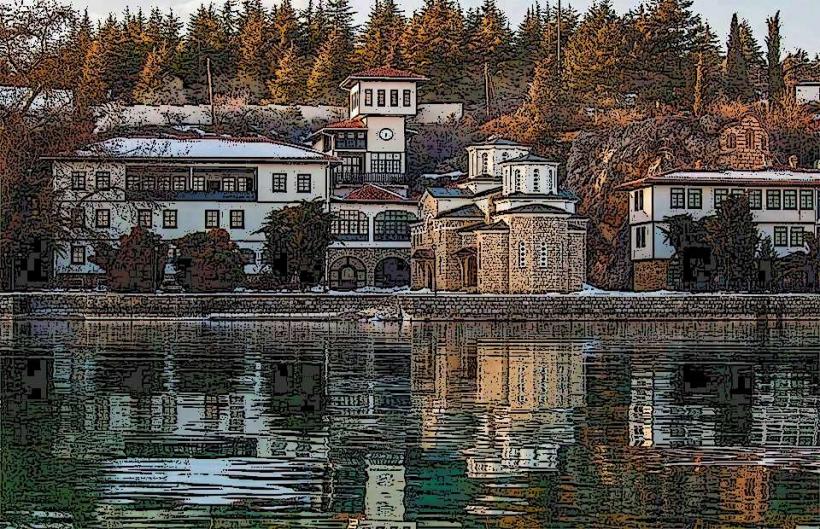
Landmark: Lake OhridCity: Ohrid
Country: North Macedonia
Continent: Europe
Lake Ohrid, Ohrid, North Macedonia, Europe
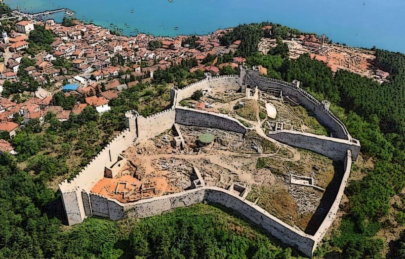
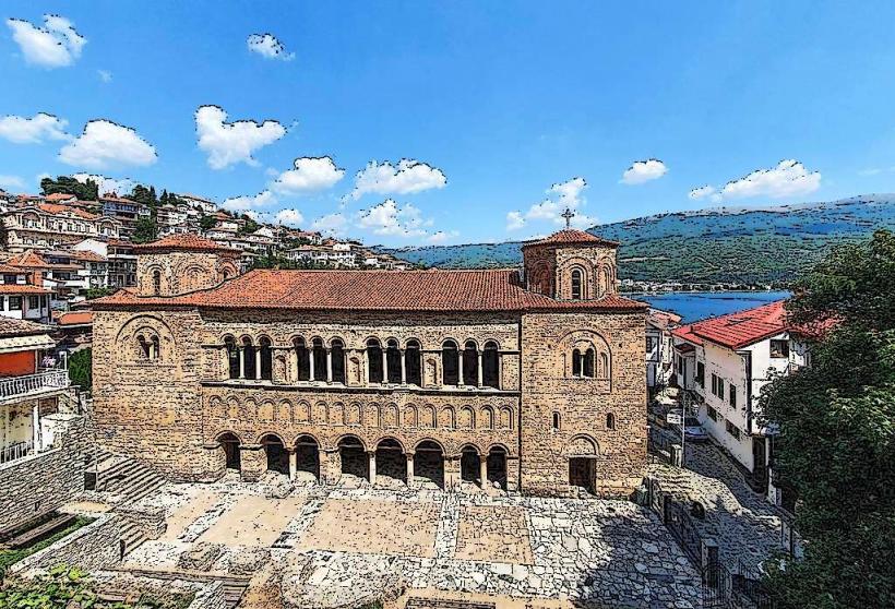
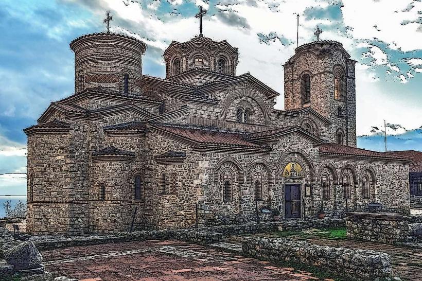
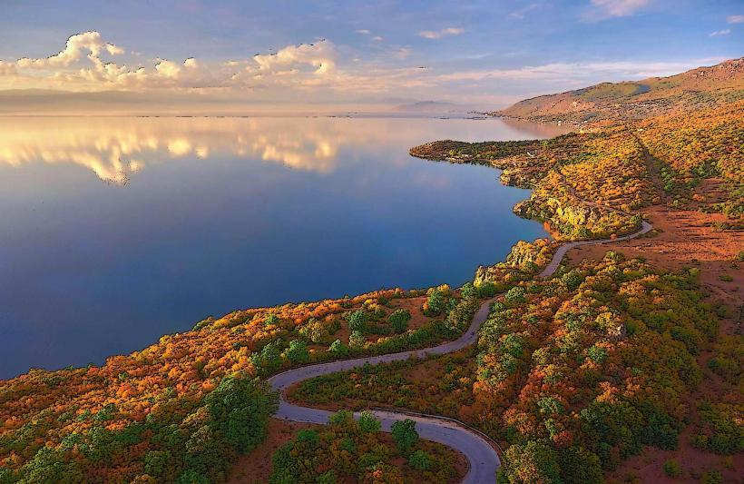
Lake Ohrid is one of the world's oldest and deepest tectonic lakes, situated on the mountainous border between southwestern North Macedonia and eastern Albania. It was declared a UNESCO World Heritage site in 1979 due to its unique aquatic ecosystem and the high concentration of historical monuments along its shoreline.
Visual Characteristics
The lake is characterized by exceptionally high water transparency, with visibility extending up to 22 meters in certain areas. The water color ranges from deep cobalt to bright turquoise, depending on depth and sunlight. The shoreline varies from steep limestone cliffs and rocky promontories in the east to flat, sandy beaches and marshlands in the north and south. The surface area covers approximately 358 square kilometers, surrounded by the Galicica and Jablanica mountain ranges.
Location & Access Logistics
The primary access point is the city of Ohrid, located on the northeastern shore. It is reachable via the A2 highway from Skopje (approximately 170km) or through Ohrid St. Paul the Apostle Airport (OHD), situated 9km northwest of the city center. Public transport includes daily bus lines from Skopje, Tirana, and Thessaloniki. Boat travel is common, with a regular passenger ferry and numerous private taxi boats operating from the Ohrid Port.
Historical & Ecological Origin
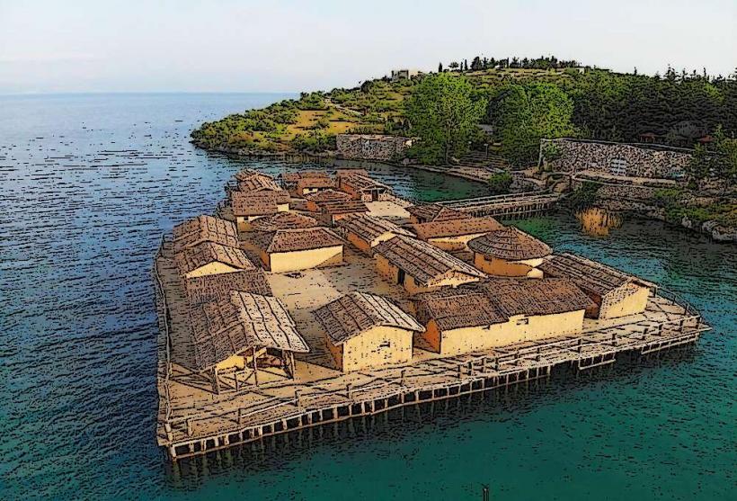
The lake formed during the Pliocene epoch, approximately 2 to 5 million years ago, in a geotectonic depression. It is a "museum of living fossils," harboring over 200 endemic species, including the Ohrid Trout (Salmo letnica) and the Ancylus fluviatilis snail. Historically, the lake has been a center of human habitation for over 8,000 years, with Neolithic pile dwellings discovered at the Bay of the Bones.
Key Highlights & Activities
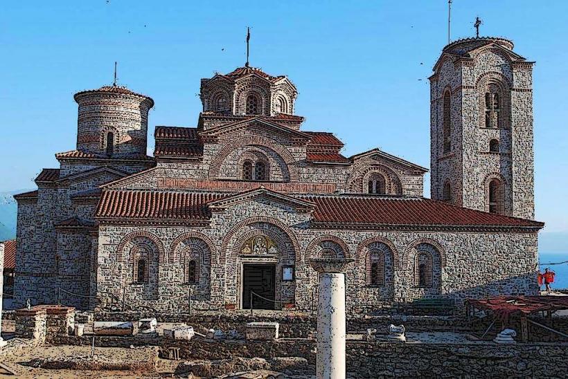
Swimming and sunbathing are primary activities at beaches like Gradiste, Ljubanista, and Kaneov. Scuba diving is possible at the Bay of the Bones to view prehistoric artifacts. Boat tours frequently depart for the Monastery of Saint Naum, located near the southern springs. Kayaking and paddleboarding are available in the calmer waters of the early morning.
Infrastructure & Amenities
The shoreline in urban areas is equipped with paved quays, public lighting, and benches. 4G and 5G cellular signals are reliable across the lake's surface and coastal towns. Public restrooms are available at major beaches and gas stations along the R1201 road. Numerous food vendors, high-end restaurants, and hotels are concentrated in the Ohrid and Struga municipalities.
Best Time to Visit
The best months for water-based activities and stable weather are July and August. For photography, the autumn months (September–October) offer clear skies and vibrant foliage on the surrounding mountains. High-altitude views from Galicica National Park provide the best perspective of the lake's scale during the morning hours when the sun is behind the observer.
Facts & Legends
The lake is fed primarily by underwater springs, most notably at Saint Naum, where water from the higher-elevation Lake Prespa filters through the karst mountains. A local "secret" is the production of Ohrid Pearls, which are made using a secret emulsion derived from the scales of the endemic Plashica fish-a technique passed down through only a few local families.
Nearby Landmarks
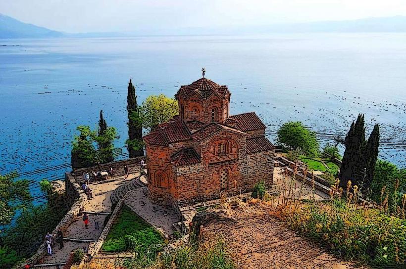
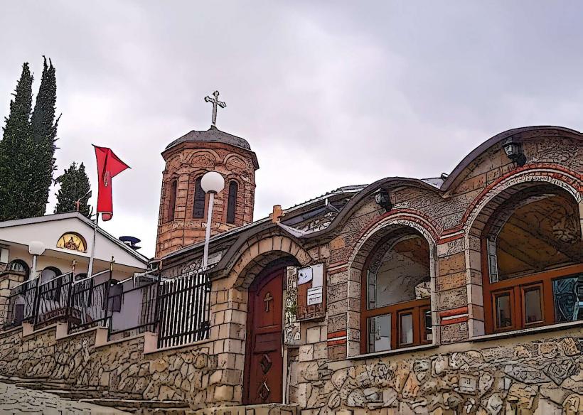
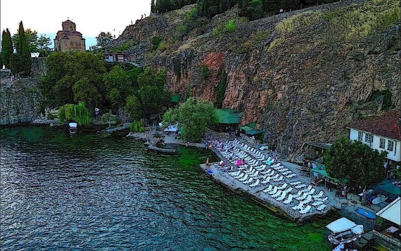
Church of St. John at Kaneo (0.1km East from shore)
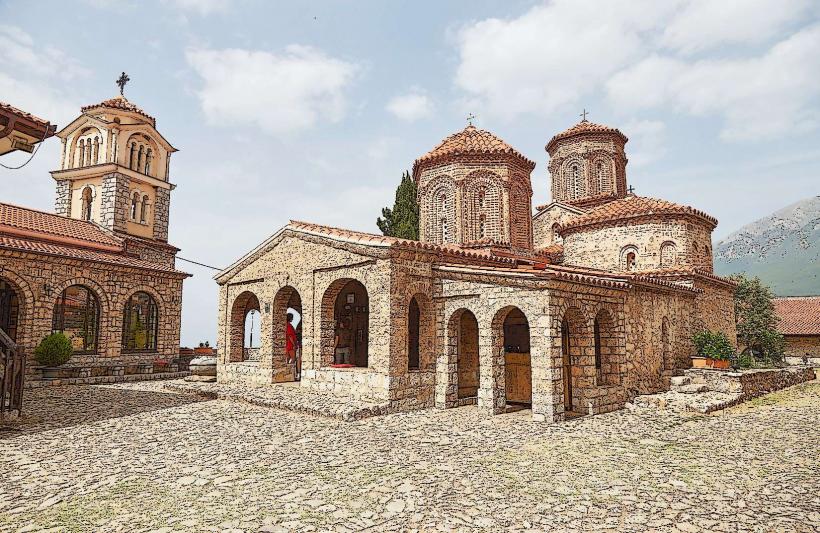
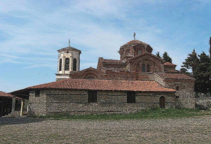
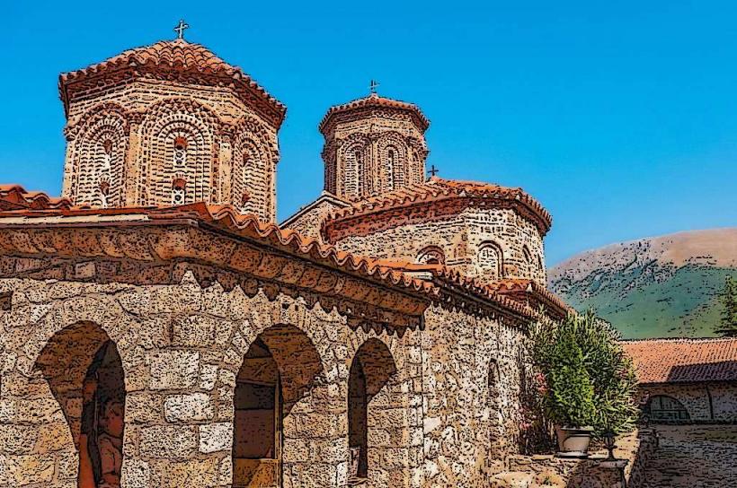
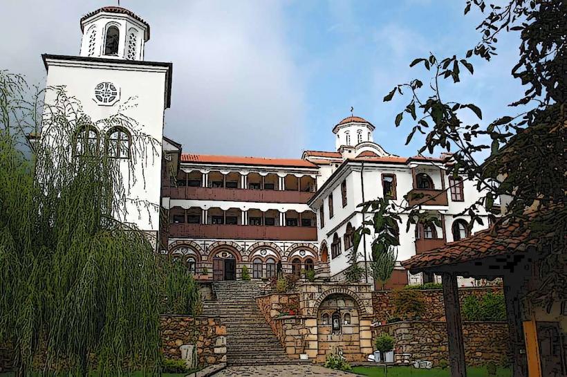
Monastery of Saint Naum (29km South)
Bay of the Bones Museum (16km South)
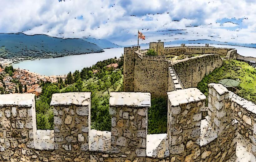
Galicica National Park (5km East)
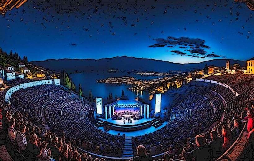
Ancient Theatre of Ohrid (0.8km North-East from port)