Information
Landmark: Lake Pend Oreille Scenic BywayCity: Sandpoint
Country: USA Idaho
Continent: North America
Lake Pend Oreille Scenic Byway, Sandpoint, USA Idaho, North America
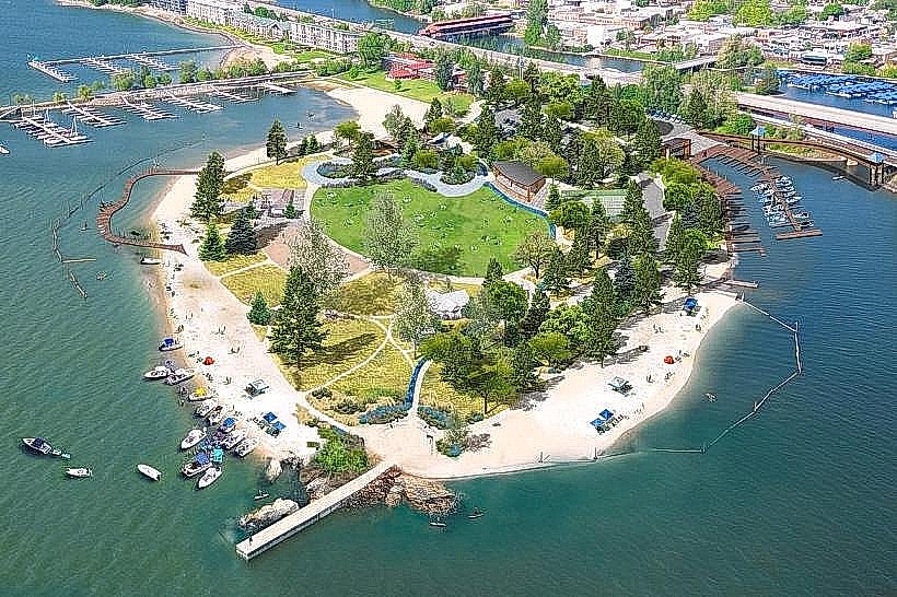
The Lake Pend Oreille Scenic Byway is a designated route in northern Idaho, USA, encircling the entirety of Lake Pend Oreille.
Visual Characteristics
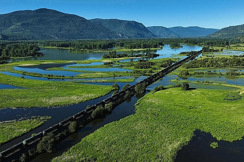
The byway traverses varied terrain, offering views of the 43-mile-long, 1,150-foot-deep Lake Pend Oreille. The lake's water color ranges from deep blue to turquoise depending on depth and light. Surrounding landscapes include dense coniferous forests, granite mountain formations, and exposed rock faces. The byway itself is paved asphalt, with some sections featuring gravel shoulders.
Location & Access Logistics
The byway begins and ends in Sandpoint, Idaho. It is accessible via US Highway 2 and Idaho State Highway 57. From Sandpoint, the route follows US-2 East for approximately 30 miles before turning north onto SH-57. The total loop is approximately 120 miles. Parking is available at designated pull-offs and at various points within the surrounding national forests. Public transport is not available along the byway.
Historical & Ecological Origin
Lake Pend Oreille was carved by glacial activity during the Pleistocene epoch. The surrounding mountains are part of the Cabinet Mountains Wilderness, primarily composed of Precambrian metamorphic rocks. The byway was designated a National Scenic Byway in 1989 to preserve and promote its natural and cultural resources. The area is part of the Kaniksu National Forest.
Key Highlights & Activities
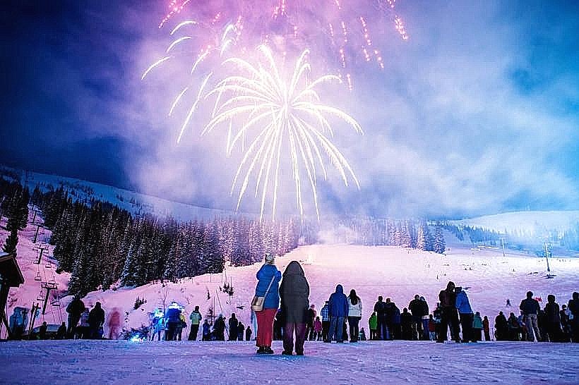
Activities include scenic driving, photography at designated viewpoints, fishing in Lake Pend Oreille, and hiking on trails accessible from the byway. Boat launches are available at several points. Wildlife viewing opportunities exist for deer, elk, and various bird species.
Infrastructure & Amenities
Restrooms are available at select campgrounds and public access points. Shade is provided by the surrounding forest canopy in many areas. Cell phone signal is intermittent and generally unavailable in remote sections. Food vendors are primarily located in Sandpoint and the smaller communities of Hope and Clark Fork.
Best Time to Visit
The byway is typically accessible from late spring (May) through fall (October), depending on snowpack. The best time of day for photography is generally early morning or late afternoon for optimal lighting on the lake and mountains. Summer months offer the warmest weather for outdoor activities.
Facts & Legends
A local legend speaks of a large, unidentified creature said to inhabit the deepest parts of Lake Pend Oreille, similar to other lake monster myths. Geologically, the lake's extreme depth is a result of its glacial origin, making it the fifth deepest lake in the United States.
Nearby Landmarks
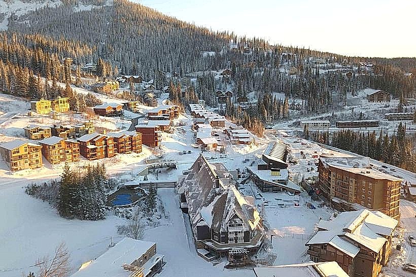
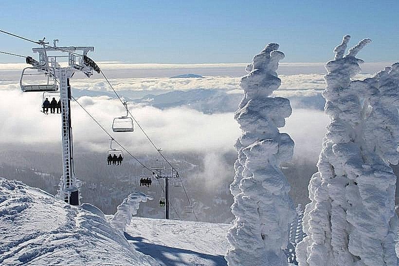
- Schweitzer Mountain Resort (10km Northwest)
- Priest Lake State Park (40km Northwest)
- Kootenai National Wildlife Refuge (25km East)
- Silverwood Theme Park (60km Southwest)
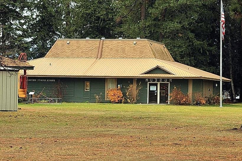
- Bonner County Historical Museum (5km Southwest)