Information
Landmark: Lake TanganyikaCity: Mbeya
Country: Tanzania
Continent: Africa
Lake Tanganyika, Mbeya, Tanzania, Africa
Lake Tanganyika is a large freshwater lake located in East Africa, bordering Tanzania, the Democratic Republic of Congo, Burundi, and Zambia. This specific entry focuses on its proximity to Mbeya, Tanzania.
Visual Characteristics
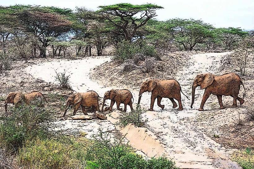
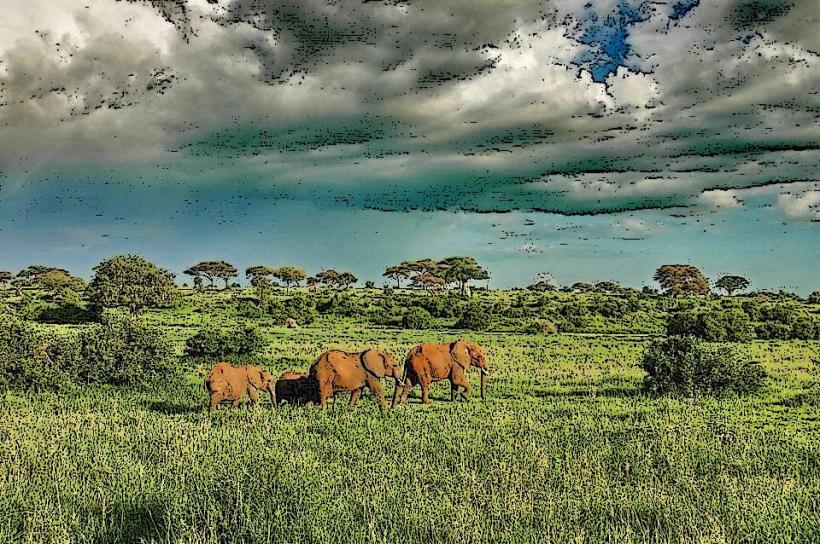
The lake's surface is a deep blue, reflecting the sky. Its shores vary from sandy beaches to rocky outcrops. The surrounding landscape is characterized by rolling hills and savanna vegetation, with the lake itself forming a significant geographical feature.
Location & Access Logistics
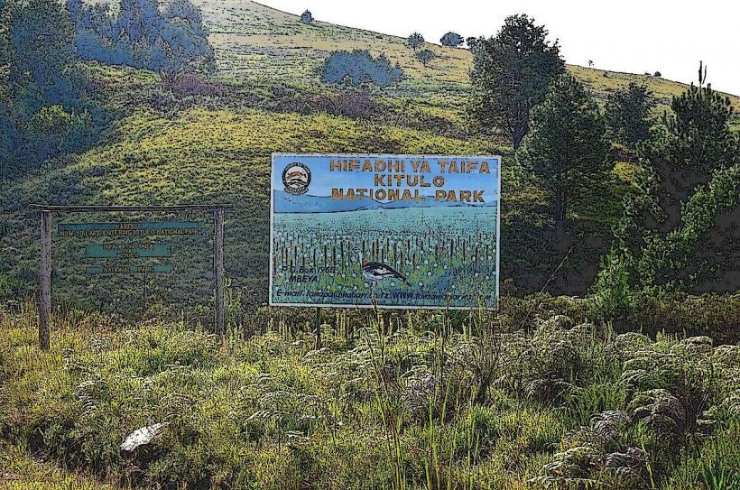
Lake Tanganyika is accessible from Mbeya, Tanzania, via the T1 highway. The drive to the nearest accessible points on the lake, such as the town of Kasanga, is approximately 200 kilometers southwest of Mbeya, taking about 4-5 hours by vehicle. Road conditions can vary, especially during the rainy season. There is limited public transport directly to the lake; shared taxis (dala-dalas) and buses operate between Mbeya and towns along the lake, but require transfers. Parking is generally available in lakeside towns, often informal and unsecured.
Historical & Ecological Origin
Lake Tanganyika is a rift lake, formed by tectonic activity along the East African Rift Valley. It is one of the oldest and deepest lakes in the world, estimated to be 9-12 million years old. Its formation is a result of the African continent splitting apart.
Key Highlights & Activities
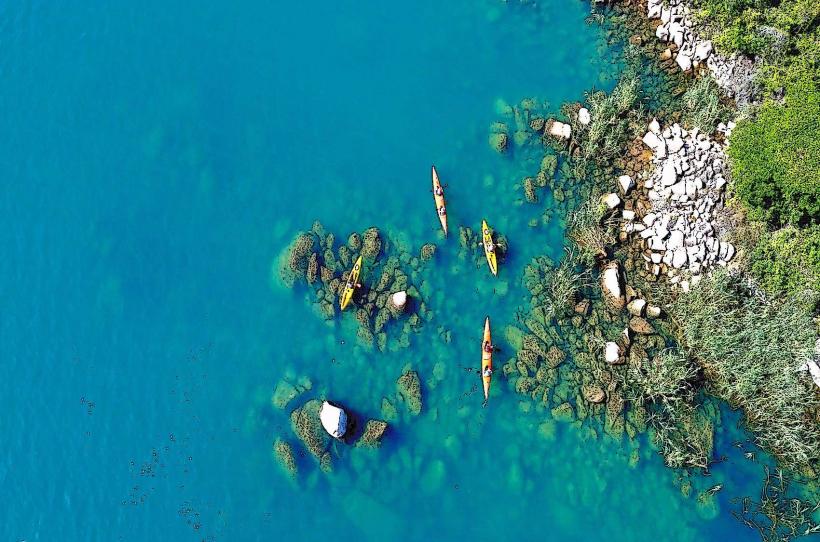
Activities include boat trips on the lake, fishing, and observing local fishing communities. Swimming is possible in designated areas. Hiking trails are present in the surrounding hills, offering elevated views of the lake. Birdwatching is also a notable activity due to the diverse avian population.
Infrastructure & Amenities
Basic amenities are available in lakeside towns like Kasanga. These may include small guesthouses and local eateries. Restrooms are typically found at these establishments. Cell phone signal (2G/3G) is intermittent and dependent on proximity to populated areas. Shade is available from trees and structures in towns, but limited in undeveloped areas.
Best Time to Visit
The dry season, from June to October, offers the most favorable weather conditions with less rainfall and clearer skies. The best time of day for photography is generally early morning or late afternoon when the sun's angle creates softer light and longer shadows. There are no specific tide requirements as it is a freshwater lake.
Facts & Legends
Lake Tanganyika is the second-largest freshwater lake in the world by volume and the second-deepest. It contains approximately 17% of the world's available fresh surface water. A local legend speaks of a giant serpent that inhabits the deepest parts of the lake, responsible for guiding lost fishermen home.
Nearby Landmarks
- Katavi National Park (150km Northeast)
- Ruaha National Park (250km East)
- Gombe Stream National Park (400km West, requires significant travel)
- Ujiji Historical Site (400km West, requires significant travel)