Information
Landmark: Lalasoa ValleyCity: Fianarantsoa
Country: Madagascar
Continent: Africa
Lalasoa Valley, Fianarantsoa, Madagascar, Africa
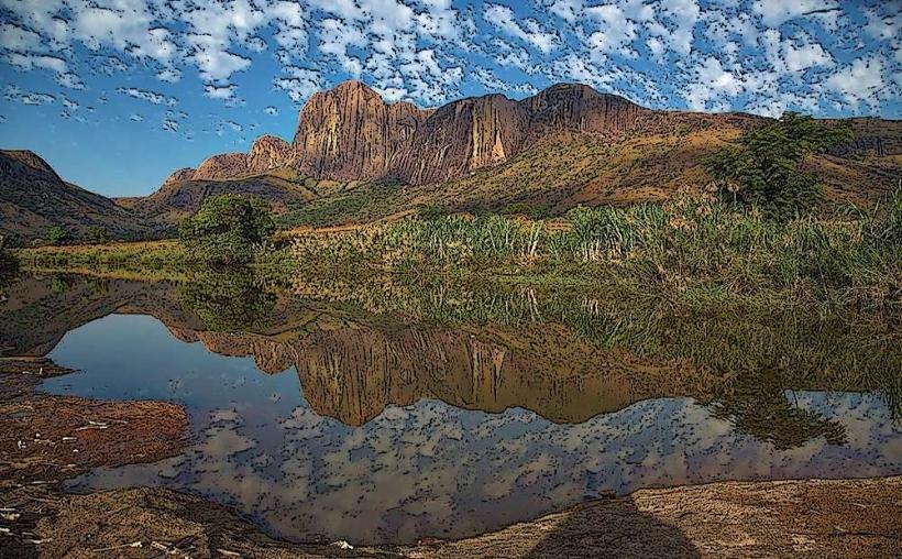
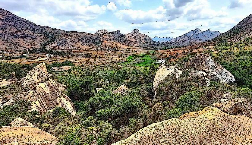
The Lalasoa Valley is a significant geographical feature characterized by its deep incision into the landscape near the city of Fianarantsoa, situated in the highlands of central Madagascar.
Visual Characteristics
The valley exhibits steep, eroded slopes covered primarily by secondary grassland and scattered eucalyptus plantations, indicative of past deforestation. The valley floor often contains remnants of riparian vegetation along seasonal watercourses. Dominant colors are the reddish-brown of exposed lateritic soil and the varying greens of grasses and sparse trees. The overall impression is one of a deeply carved, undulating terrain.
Location & Access Logistics
The Lalasoa Valley is located immediately east of Fianarantsoa city center. Access is typically via local unpaved roads branching off Route Nationale 7 (RN7) within the city limits. Specific access points vary, but many sections are reachable within a 15-minute drive from the city center. Parking is informal, usually along road shoulders. Public transport options are limited to local taxi-brousse services or private vehicle hire from Fianarantsoa, which can drop visitors at various entry points.
Historical & Ecological Origin
The Lalasoa Valley is a geologically formed feature, primarily shaped by fluvial erosion over millennia. It is part of the high plateau landscape of Madagascar, characterized by ancient crystalline basement rocks. Ecologically, the valley represents a modified ecosystem, with much of its original forest cover replaced by grassland due to human activity. It serves as a microhabitat for various endemic plant species adapted to the highland environment and provides water catchment for local communities.
Key Highlights & Activities
Hiking is a primary activity, with numerous informal trails traversing the valley slopes and floor. Birdwatching is possible, focusing on species adapted to open grasslands and degraded forest patches. Photography opportunities exist, particularly during sunrise or sunset, capturing the valley's contours and the distant city skyline. Local agricultural practices, such as rice paddies in the valley bottom, can also be observed.
Infrastructure & Amenities
Infrastructure within the Lalasoa Valley is minimal. There are no designated restrooms or formal visitor centers. Shade is limited to scattered trees. Cell phone signal (4G/5G) is generally available across most of the valley due to its proximity to Fianarantsoa. Food vendors are not present within the valley itself, but provisions can be purchased in Fianarantsoa prior to a visit.
Best Time to Visit
The best time to visit is during the dry season, from April to October, when trails are less muddy and weather is cooler and less humid. Early morning or late afternoon are optimal for photography, utilizing the softer light to highlight the valley's topography. Avoid the rainy season (November to March) due to slippery conditions and potential for flash floods in lower areas.
Facts & Legends
The Lalasoa Valley is locally significant for its role in the water supply for surrounding agricultural lands, particularly for rice cultivation. The valley's deep erosion patterns are a visible testament to the impact of historical land use changes and the vulnerability of the Malagasy highlands to soil degradation.
Nearby Landmarks
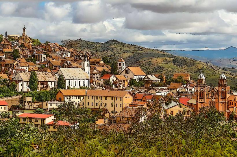
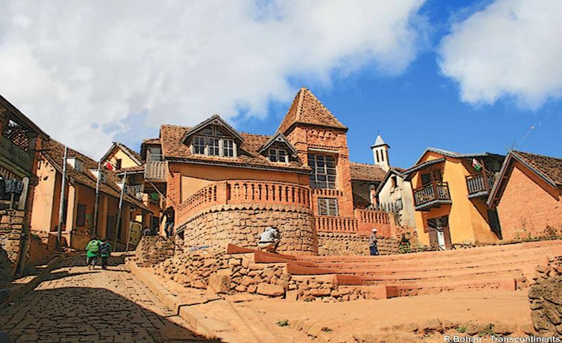
- Fianarantsoa Old Town: 2.5km West
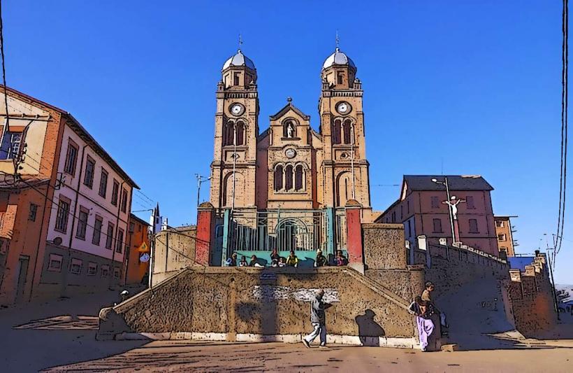
- Cathedral of the Holy Name of Jesus: 3km West
- Anosy Lake: 1.5km Northwest
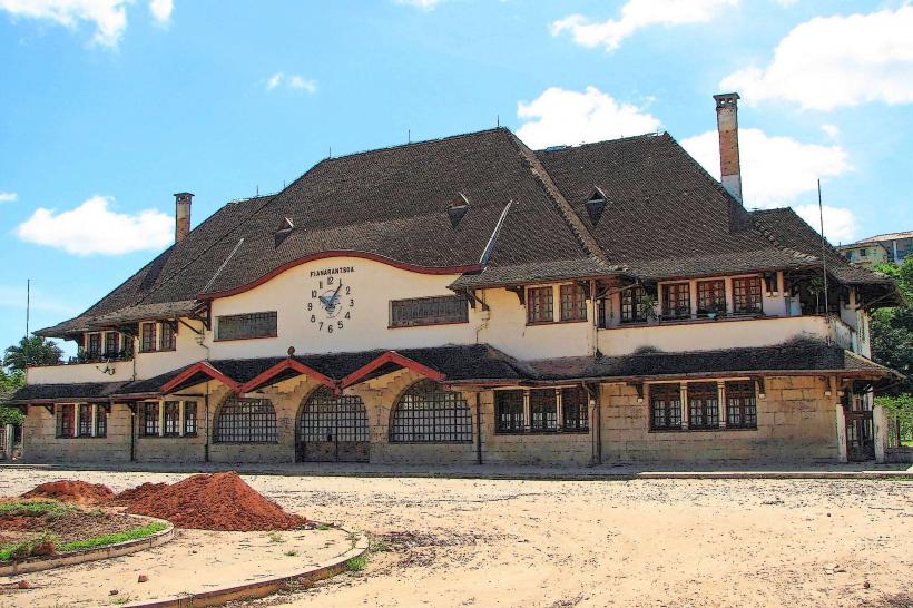
- Fianarantsoa Train Station: 3.5km West