Information
Landmark: Lilla VarholmenCity: Visby
Country: Sweden
Continent: Europe
Lilla Varholmen, Visby, Sweden, Europe
Lilla Varholmen is a small, uninhabited island situated off the western coast of Visby, Sweden. It functions as a natural coastal feature and a point of interest for marine observation.
Visual Characteristics
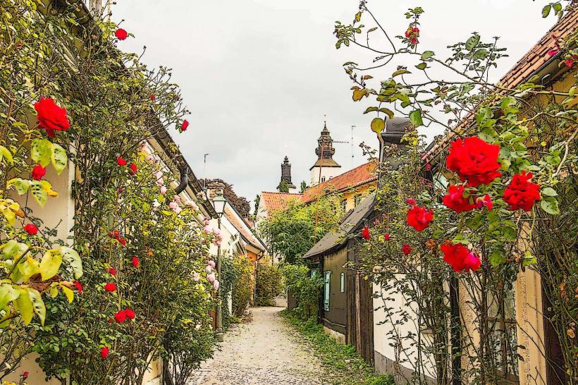
The island is composed primarily of exposed Silurian limestone bedrock, exhibiting a low-lying, elongated profile. Its surface is sparsely vegetated with hardy coastal grasses and occasional juniper bushes. The highest elevation point is approximately 5 meters above sea level, presenting a relatively flat and unvaried topography. The surrounding water typically displays the clear, greenish-blue hues characteristic of the Baltic Sea.
Location & Access Logistics
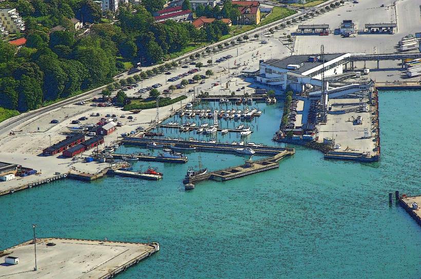
Lilla Varholmen is located approximately 1.5 kilometers west of Visby's city center. Direct access is exclusively by boat; no land-based routes exist. Private boats can approach the eastern side, which offers some shelter from prevailing westerly winds. There are no designated docking facilities or public ferry services to the island. Parking for vehicles is available in Visby harbor, approximately 1.8 km east, which is served by local bus lines 61 and 62 from central Visby.
Historical & Ecological Origin
Lilla Varholmen is a natural geological formation, primarily consisting of ancient Silurian limestone reefs. Its current form is a result of glacial erosion during the last ice age, followed by post-glacial land uplift that exposed the bedrock above sea level. Ecologically, the island serves as a minor bird sanctuary and a habitat for halophytic (salt-tolerant) plant species, contributing to the local coastal ecosystem.
Key Highlights & Activities
Birdwatching is a primary activity, particularly during spring and autumn migration periods. Coastal photography, capturing the Visby skyline from a unique sea perspective, is possible. Small private boats can anchor temporarily in calm conditions, allowing for observation of the island's flora and fauna from the water.
Infrastructure & Amenities
No permanent infrastructure is present on Lilla Varholmen. There are no restrooms, no designated shade structures, and no potable water sources. Food vendors are not available on the island. Cell phone signal (4G/5G) is generally accessible, relying on proximity to mainland Visby's cellular towers.
Best Time to Visit
The months of May through September offer the most favorable weather conditions for boat access, with calmer seas and milder temperatures. Late afternoon provides optimal lighting for photography of the Visby coastline. Access to the island is independent of tidal cycles due to its elevation, but calm sea conditions are essential for safe approach and departure.
Facts & Legends
Historically, Lilla Varholmen served as a natural navigational marker for ships approaching Visby harbor from the west, particularly before the advent of modern electronic aids. Local mariners sometimes referred to it as "the small guard" due to its position guarding the harbor entrance. A practical tip for visitors is to observe the island from a distance with binoculars, as landing is often challenging and the island's ecological sensitivity discourages extensive foot traffic.
Nearby Landmarks
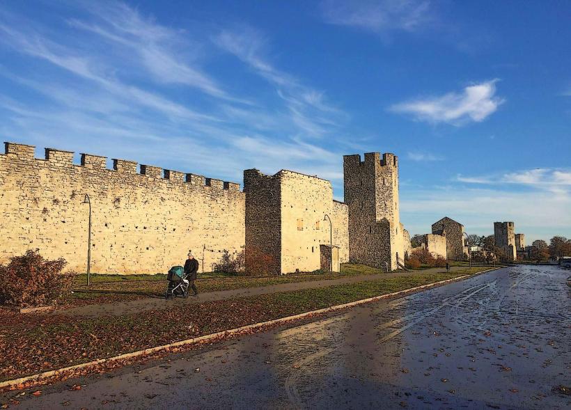
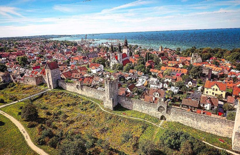
- Visby City Wall: 1.8km East
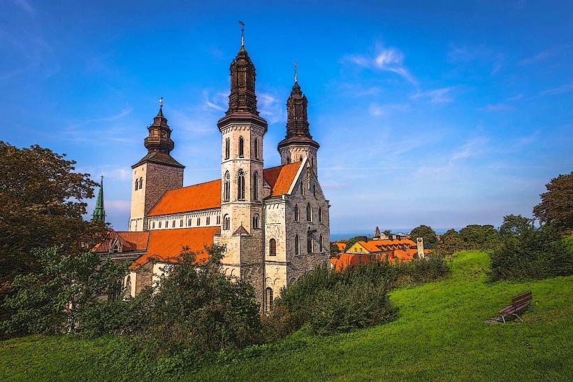
- Visby Cathedral (Sankta Maria kyrka): 2.0km East
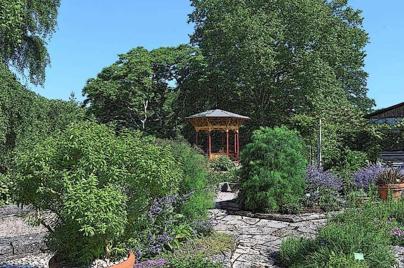
- Botaniska Trädgården (Botanical Garden): 2.2km East-Northeast
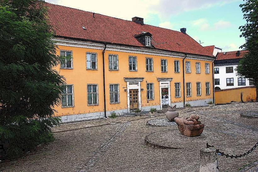
- Fornsalen (Gotland Museum): 2.1km East
- Kneippbyn Resort: 4.5km South