Information
Landmark: Visby HarbourCity: Visby
Country: Sweden
Continent: Europe
Visby Harbour, Visby, Sweden, Europe
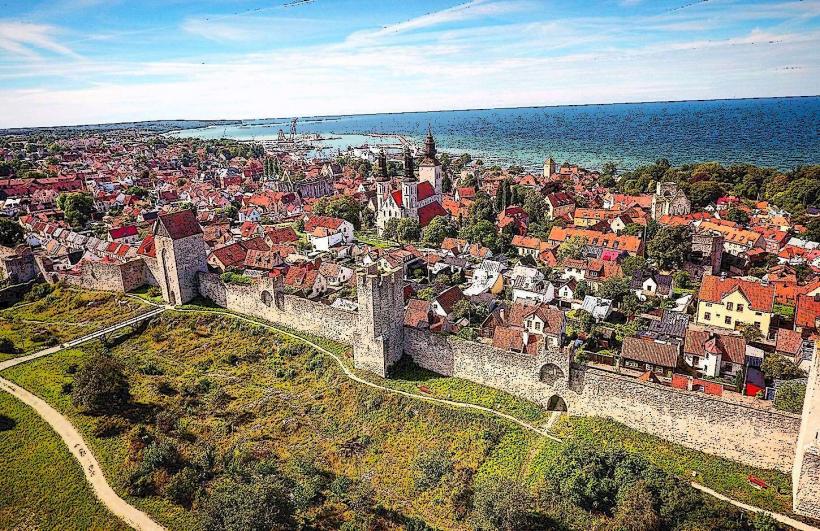
Visby Harbour is the primary port facility for the city of Visby, located on the western coast of the island of Gotland, Sweden. It serves as a crucial hub for ferry traffic, cargo, and recreational boating, directly bordering the medieval city center.
Visual Characteristics
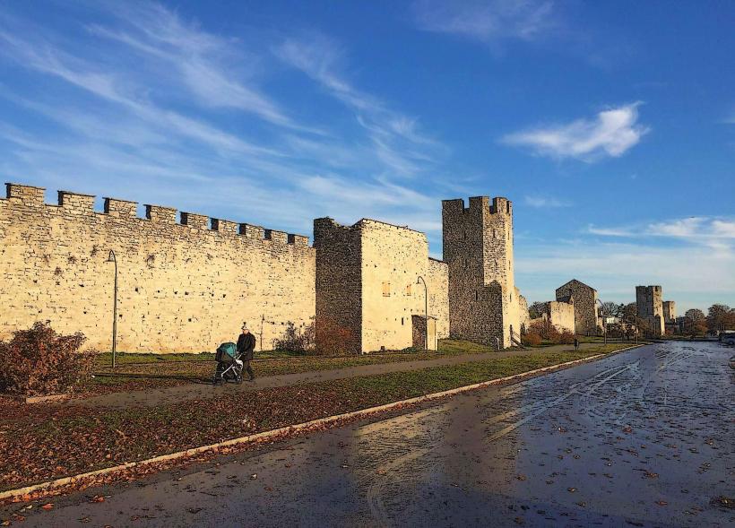
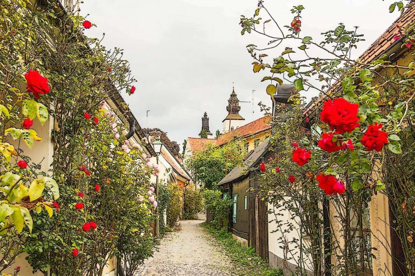
The harbour features a combination of modern concrete ferry terminals, older stone quays, and a dedicated marina for smaller vessels. The water is characteristic of the Baltic Sea, typically appearing grey-blue. The eastern edge of the harbour is defined by sections of the medieval Visby City Wall, providing a historical backdrop. Industrial elements such as cranes and cargo handling areas are present alongside recreational boats and passenger facilities.
Location & Access Logistics
Visby Harbour is situated immediately west of Visby's city center. Vehicular access is primarily via Hamngatan and Färjeleden, which connect directly to the main road network. Paid parking facilities are available near the ferry terminals and along the quays. Public transport includes local bus lines operated by Region Gotland, with several stops within a 0.2km radius of the main terminal building. Ferries from Nynäshamn and Oskarshamn on mainland Sweden dock directly at the harbour.
Historical & Ecological Origin
The site of Visby Harbour has been a significant maritime gateway since the Viking Age, evolving into a major trading post during the Hanseatic League era in the 12th to 14th centuries. Its original purpose was to facilitate trade and provide a defensive point for the city. The current infrastructure has undergone numerous modernizations, particularly in the 20th and 21st centuries, to accommodate larger ferries and increased traffic.
Key Highlights & Activities
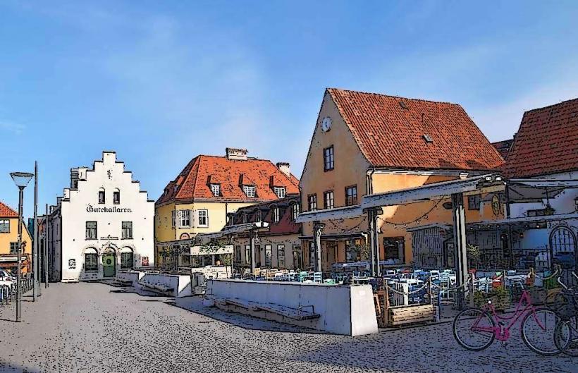
Observing the arrival and departure of large passenger ferries is a common activity. Walking along the quays provides views of the city wall and the Baltic Sea. Boat tours to nearby islands such as Stora Karlsö and Lilla Karlsö depart from specific piers within the harbour. Fishing is permitted in designated areas. Several restaurants and cafes are located along the harbour front.
Infrastructure & Amenities
Restrooms are available within the main ferry terminal buildings and at several of the waterside restaurants. Natural shade is limited on the open quays, but some shaded seating areas exist near buildings. Cell phone signal strength is consistently strong (4G/5G). Multiple food vendors, cafes, and full-service restaurants are situated directly adjacent to the harbour area.
Best Time to Visit
The summer months, from June to August, offer the most favorable weather conditions and the highest level of activity. For photography, early morning or late afternoon light provides optimal conditions, particularly for capturing the city wall. The Baltic Sea experiences minimal tidal range, so specific tide requirements are not a factor for access or activities.
Facts & Legends
Visby Harbour was a cornerstone of the Hanseatic League's dominance in Baltic Sea trade, making Visby one of the wealthiest cities in medieval Europe. A practical tip for visitors is to walk to the northern end of the harbour near Kärleksporten (The Love Gate) for an unobstructed view of the city wall meeting the sea.
Nearby Landmarks
- Visby City Wall (Ringmuren): 0km East
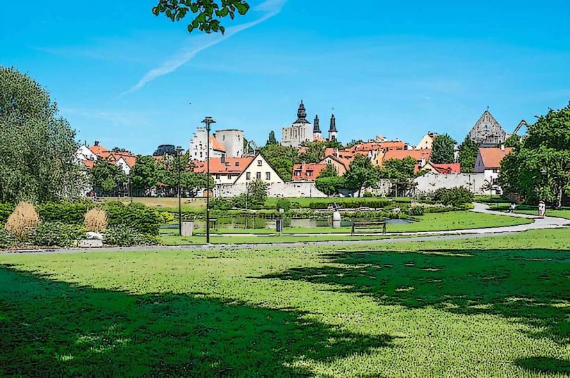
- Almedalen Park: 0.5km Northeast
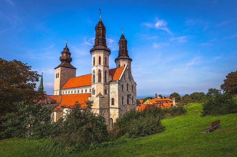
- St. Mary's Cathedral (Visby Domkyrka): 0.7km East
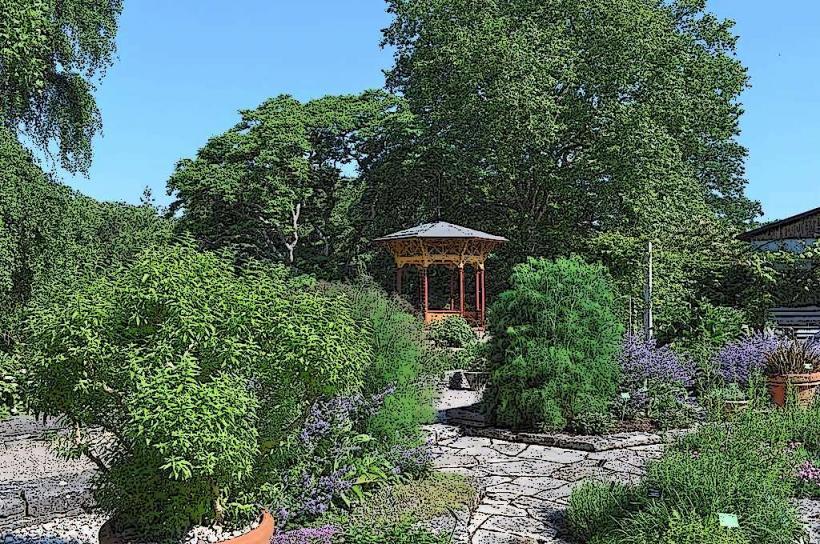
- Botanical Garden (DBW's Botanical Garden): 0.8km North
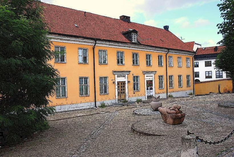
- Fornsalen (Gotland Museum): 1.0km East