Information
Landmark: Los Haitises National ParkCity: Samana
Country: Dominican Republic
Continent: North America
Los Haitises National Park, Samana, Dominican Republic, North America
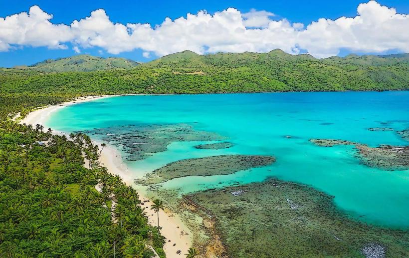
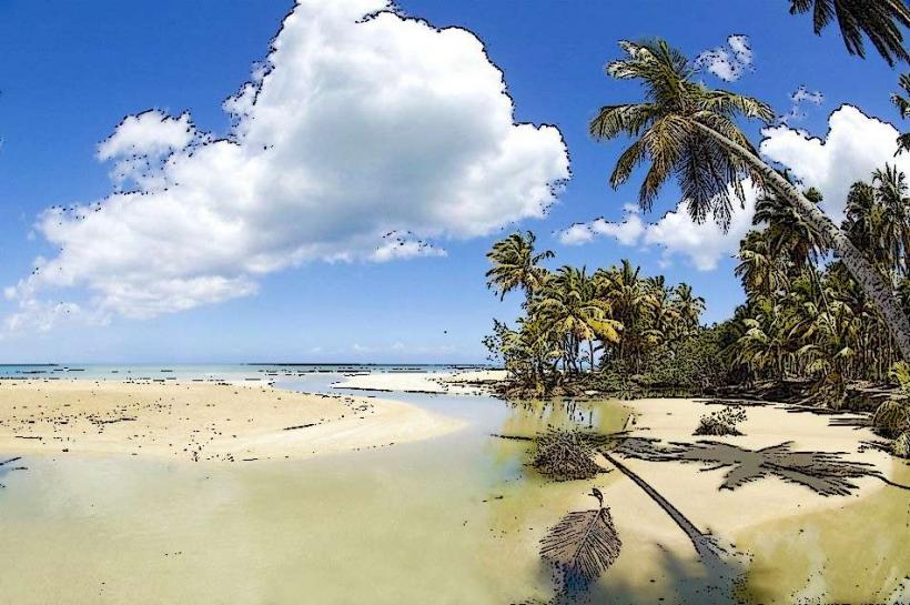
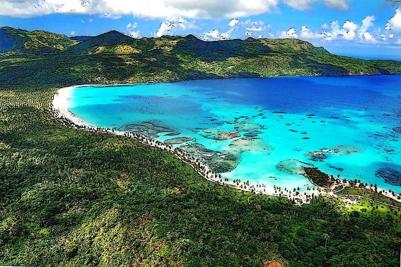
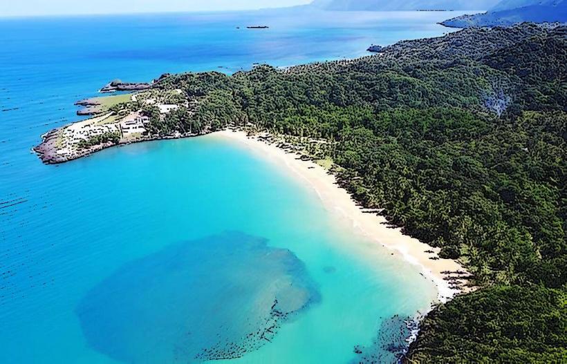
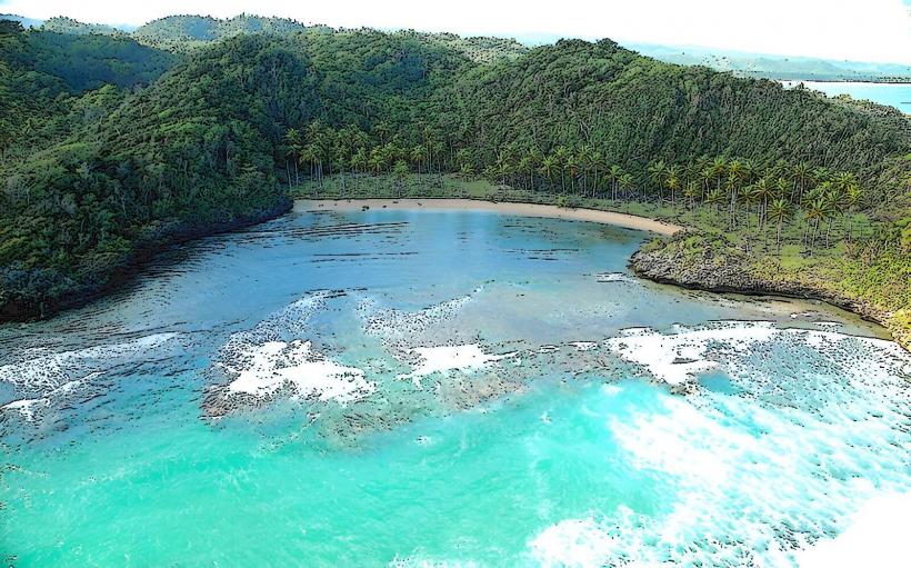
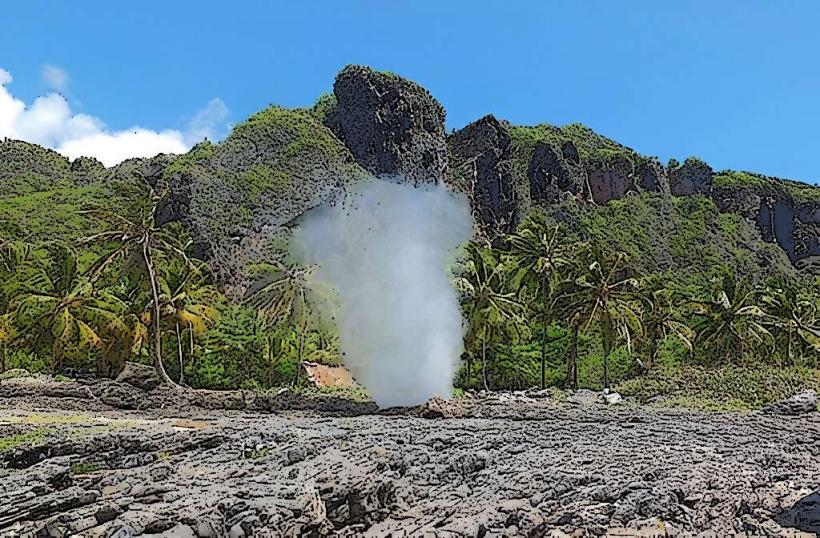
Los Haitises National Park is a protected area situated on the northeast coast of the Dominican Republic, primarily within Samaná Bay. It is characterized by a unique karst landscape and extensive mangrove forests.
Visual Characteristics
The park's dominant features are its numerous limestone mogotes, which are steep, conical hills rising directly from the water, reaching heights of up to 40 meters. These formations are covered in dense tropical vegetation. The coastline is intricate, featuring a labyrinth of mangrove channels, coves, and small islands. The water within the bay and channels is typically calm, with a greenish-blue hue, reflecting the surrounding foliage and limestone. Numerous caves, some with Taino pictographs, are carved into the base of the mogotes.
Location & Access Logistics
Access to Los Haitises National Park is primarily by boat, as there are no direct road entries into its core. Common departure points include Sabana de la Mar (approximately 1.5 hours by road from Hato Mayor del Rey) and Samaná (accessible via DR-5). From Samaná, boat tours typically depart from the main pier, traversing Samaná Bay. Parking is available at the departure points in Sabana de la Mar and Samaná. Public transport to these towns involves intercity buses, but direct public transport into the park is not available.
Historical & Ecological Origin
The park's landscape is a result of extensive karst geological formations, where soluble bedrock (limestone) has been eroded by water over millions of years, creating the distinctive mogotes and caves. Ecologically, it is a critical ecosystem encompassing tropical rainforest, subtropical moist forest, and one of the Caribbean's largest and most well-preserved mangrove forests. The area holds significant historical value due to the presence of numerous caves containing petroglyphs and pictographs left by the indigenous Taino people, who inhabited the region prior to European arrival. The park was established in 1976.
Key Highlights & Activities
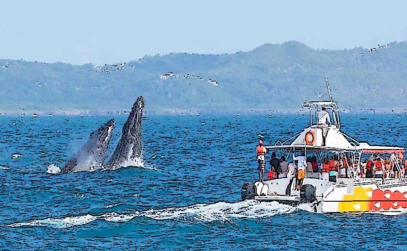
Boat tours are the primary activity, navigating through the mangrove channels and around the mogotes. Visitors can explore several caves, such as Cueva de la Línea and Cueva de San Gabriel, to view Taino art. Birdwatching is prominent, with opportunities to observe pelicans, frigatebirds, herons, and other migratory and resident species. Kayaking through the calmer mangrove tunnels is also possible in designated areas.
Infrastructure & Amenities
Infrastructure within the park itself is minimal. Restrooms are typically available at the main visitor centers or departure points in Sabana de la Mar and Samaná. Some designated cave stops may have basic facilities. Shade is provided naturally by the dense mangrove canopy and cave interiors. Cell phone signal (4G/5G) can be intermittent or absent within the deeper sections of the park. Food vendors are not present inside the park; visitors should bring their own provisions or purchase them at the departure towns.
Best Time to Visit
The best time to visit Los Haitises National Park is during the dry season, from November to May, when rainfall is lower and temperatures are more moderate. Early morning tours are recommended for optimal birdwatching activity and cooler conditions. Photography is best during mid-morning or late afternoon for softer light on the mogotes and water.
Facts & Legends
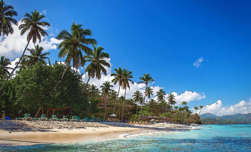
The name "Haitises" is derived from the Taino word "Haití," meaning "hilly land," a direct reference to the park's characteristic mogotes. The Taino caves within the park served as shelters and ceremonial sites, with their pictographs and petroglyphs offering a direct link to pre-Columbian Caribbean culture. A local tip suggests booking tours that include a stop at a secluded beach within the park for a brief swim, though these are not always guaranteed.
Nearby Landmarks
- Samaná Bay: 0km East (the park is situated within the bay)
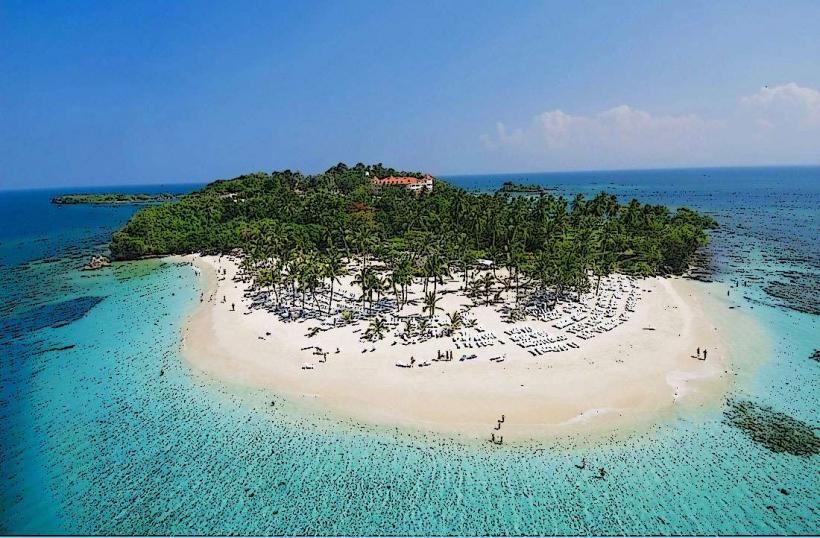
- Cayo Levantado (Bacardi Island): Approximately 15km Northeast
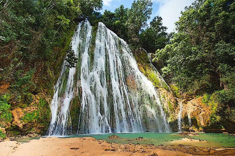
- El Limón Waterfall: Approximately 35km Northwest
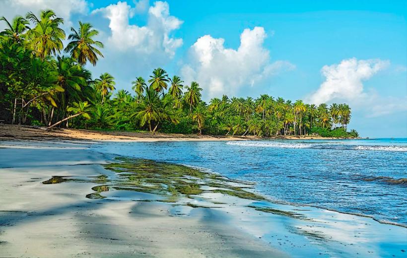
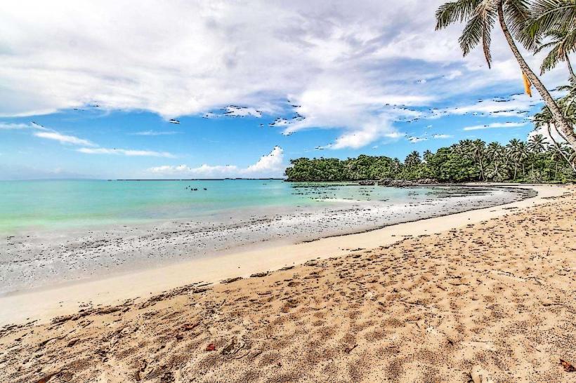
- Playa Rincón: Approximately 40km Northeast