Information
Landmark: Marigot BayCity: Castries
Country: Saint Lucia
Continent: North America
Marigot Bay, Castries, Saint Lucia, North America
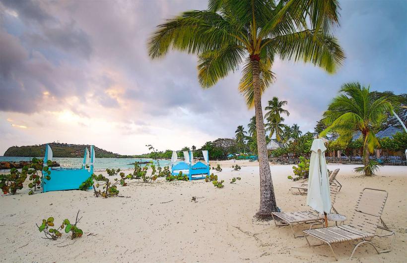
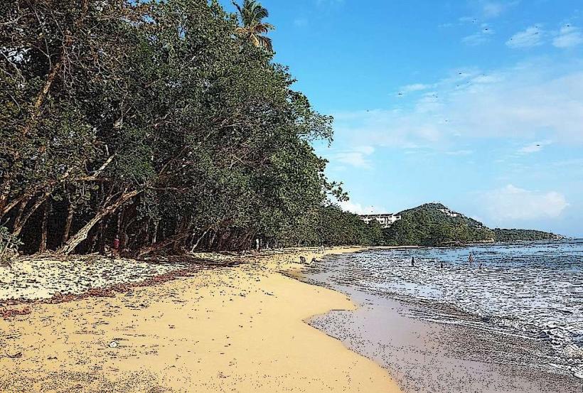
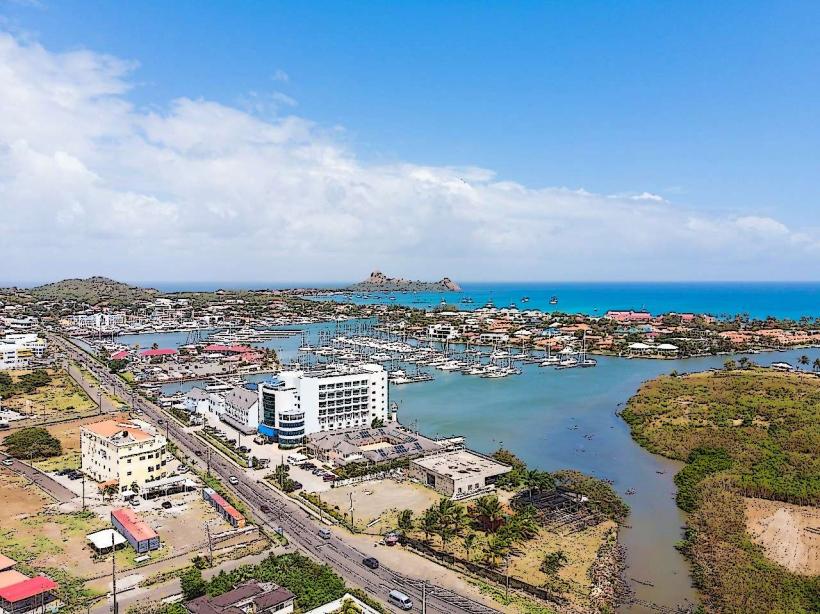
Marigot Bay is a natural harbor located on the western coast of Saint Lucia, near Castries.
This inlet is characterized by steep, verdant hillsides that descend to the water's edge, creating a sheltered, deep-water bay.
Visual Characteristics
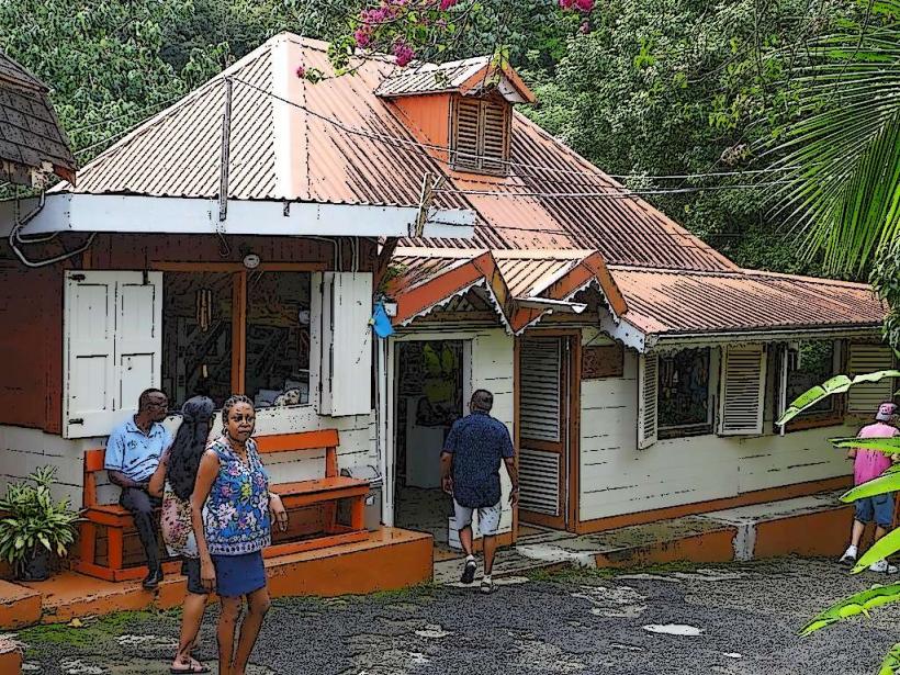
The bay is a U-shaped inlet with calm, deep blue water. The surrounding hills are covered in dense tropical vegetation, primarily palm trees and various flowering shrubs. Several marinas and a small village are situated along the shoreline, featuring white and pastel-colored buildings.
Location & Access Logistics
Marigot Bay is situated approximately 10 kilometers south of Castries. Access is primarily via the main coastal road, A4 Highway. From Castries, travel south on A4 for approximately 10km; the turn-off for Marigot Bay is clearly signposted. Parking is available at designated lots near the marinas, with fees typically applied. Public transport options include local buses (e.g., Route 1A) that run between Castries and Soufrière, with stops near the Marigot Bay turn-off. A short walk or water taxi is then required to reach the bay itself.
Historical & Ecological Origin
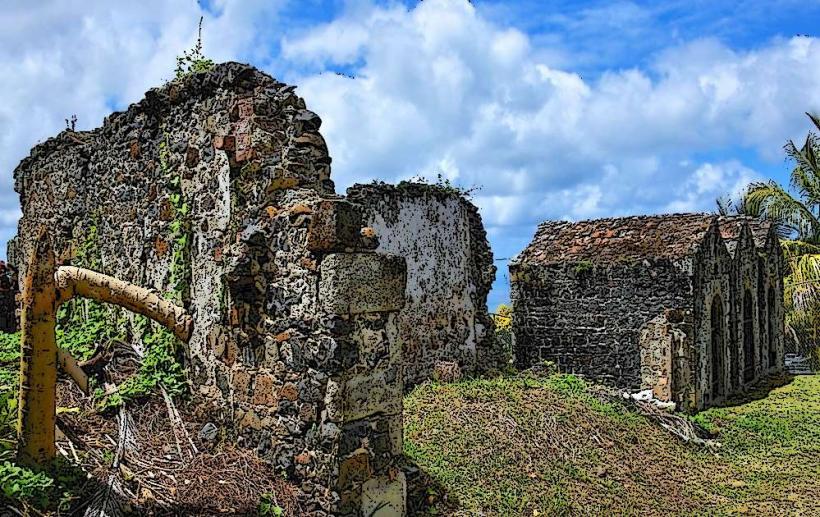
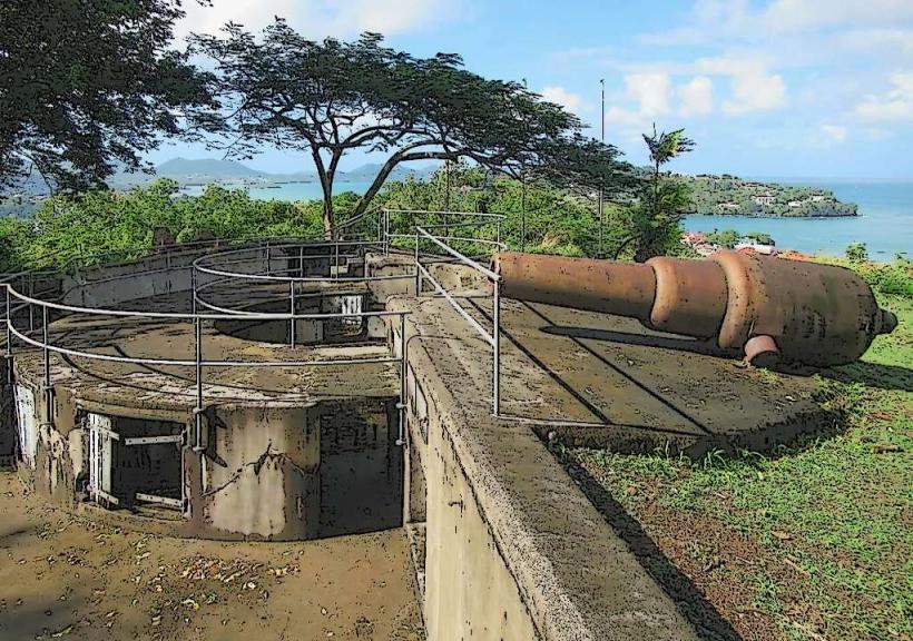
Marigot Bay is a natural geological formation, a drowned river valley or ria, carved by erosion and subsequently flooded by rising sea levels. Its deep, sheltered waters have historically made it a valuable natural harbor, utilized by indigenous peoples and later by European colonial powers for naval operations and trade.
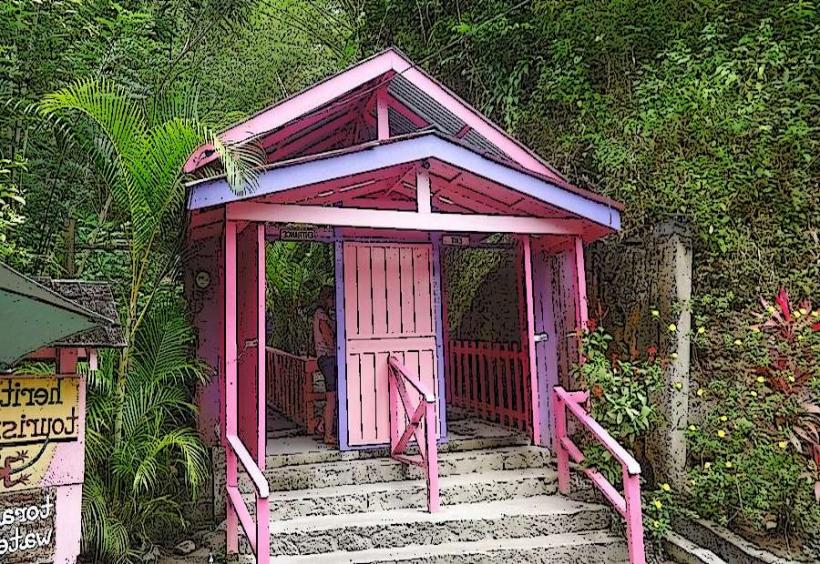
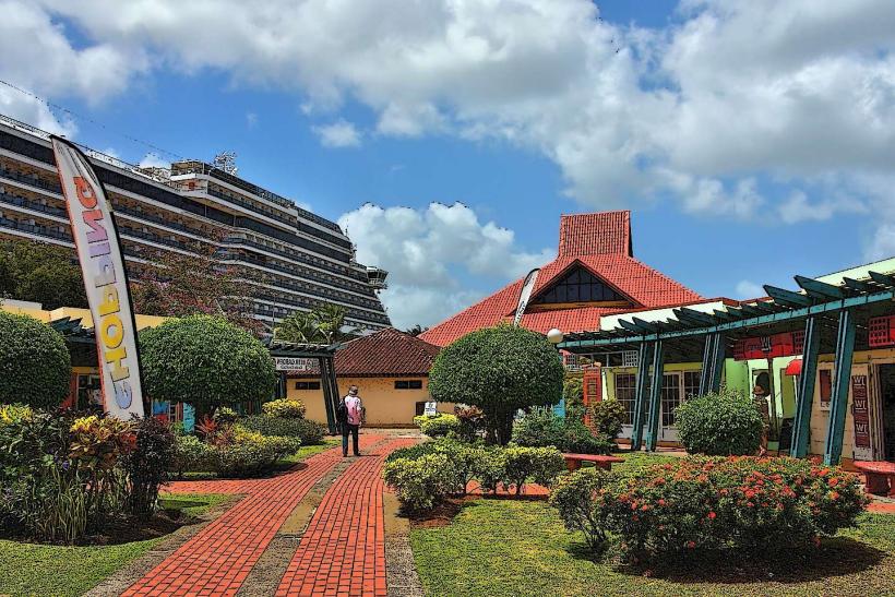
Key Highlights & Activities
Boat tours and sailing excursions depart from the marinas. Kayaking and paddleboarding are possible within the bay. Dining is available at waterfront restaurants. Observation points on the hillsides offer panoramic views of the bay.
Infrastructure & Amenities
Restrooms are available at the marinas and restaurants. Shade is provided by palm trees and awnings at waterfront establishments. Cell phone signal (4G/5G) is generally good within the bay area. Food vendors and restaurants are present along the main waterfront.
Best Time to Visit
The bay is accessible year-round. For photography, early morning or late afternoon light provides optimal illumination of the landscape. The dry season, from December to May, offers the most consistent weather. High tide is not a critical factor for access or activities within the bay itself.
Facts & Legends
Marigot Bay was reportedly a favored anchorage for pirates in the 17th and 18th centuries due to its excellent natural protection. The bay's distinctive shape is said to resemble a crescent moon.
Nearby Landmarks
- Piton Mountains (approx. 15km South-West)
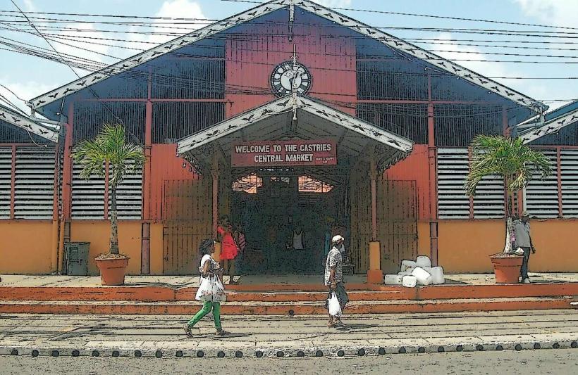
- Castries Market (approx. 10km North)
- Diamond Falls Botanical Gardens (approx. 18km South)
- Sulphur Springs Park (approx. 20km South)
- Anse Chastanet Beach (approx. 12km South-West)