Information
Landmark: Máximapark (Leidsche Rijn Park)City: Utrecht
Country: Netherlands
Continent: Europe
Máximapark (Leidsche Rijn Park), Utrecht, Netherlands, Europe
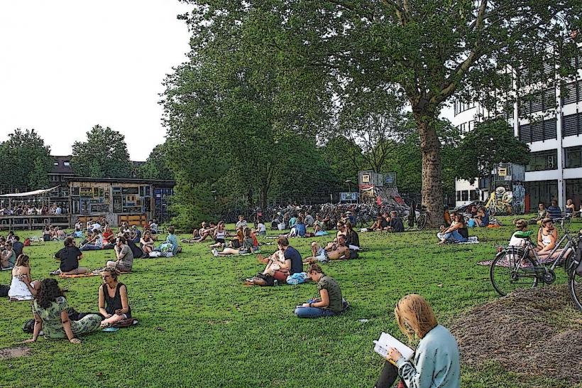
Máximapark is a 300-hectare central park located in the Leidsche Rijn district of western Utrecht. It serves as a multifunctional green core for the surrounding residential areas, designed to be exactly equal in size to the historic city center of Utrecht.
Visual Characteristics
The park is defined by a 6-meter-wide asphalt loop called "Het Lint" and a central enclosed monumental garden known as the Vlinderhof. The landscape features open grasslands, winding watercourses, and the "Parkpergola," an elevated concrete and honeycomb-steel structure that supports climbing plants. The vegetation consists of diverse local deciduous species, wildflower meadows, and meticulously curated perennial beds in the formal garden zones.
Location & Access Logistics
The site is bordered by the neighborhoods of Vleuten, De Meern, and Terwijde. Access is available via Utrecht Terwijde or Vleuten railway stations, both located within 1km of the park perimeter. Bus lines 4, 7, and 28 provide multiple stops along the park's edge. Dedicated parking lots are situated at Alendorperweg and the Binnenhof entrance.
Historical & Ecological Origin
The park was designed by Adriaan Geuze of West 8 and officially opened in 2013, named after Queen Máxima of the Netherlands. It was built on former agricultural land as part of the Leidsche Rijn urban expansion project. The ecological design prioritizes biodiversity, featuring an "ecological corridor" that allows for the migration of small mammals and amphibians between the local polders.
Key Highlights & Activities
The 8-kilometer Lint is a dedicated car-free circuit used for cycling, inline skating, and long-distance running. The Vlinderhof, designed by Piet Oudolf, is a primary destination for horticultural viewing. Additional activities include the Anafora park restaurant, a large-scale wooden playground for children, and the "Vikingrijn" waterway for recreational rowing.
Infrastructure & Amenities
Public restrooms are available at the Anafora restaurant and the Sportpark Fentener van Vlissingen. The park features high-quality 5G cellular coverage and free Wi-Fi at the central hub. Multiple shaded areas are provided by the Parkpergola and wooded groves. Benches, water fountains, and waste bins are spaced at regular intervals along the 8km loop.
Best Time to Visit
The best time for photography is at sunrise or sunset along the open stretches of the Lint. The Vlinderhof is most visually impactful from late June through September when the perennials are in full bloom. The park is highly active on weekend mornings with local sports clubs and runners.
Facts & Legends
The park contains several "Castellum" sites, which are modern architectural reinterpretations of ancient Roman forts that once sat along the Limes, the northern border of the Roman Empire. A verified tip for visitors is to look for the "Wood Chapel" (Houtense Wetering), a secluded architectural installation designed for quiet reflection.
Nearby Landmarks
Castellum Hoge Woerd (0.5km South)
Vleuten Railway Station (0.8km West)
Leidsche Rijn Shopping Center (1.5km East)
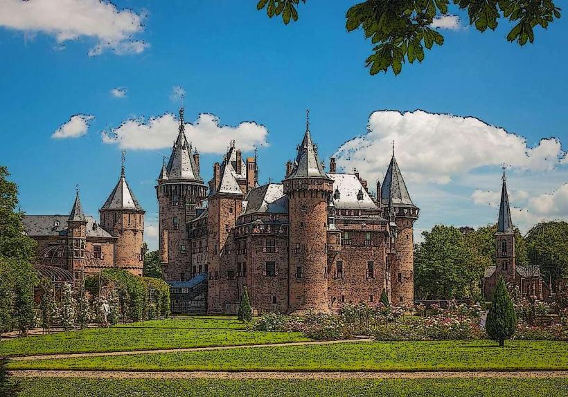
De Haar Castle (4.0km Northwest)
Haarrijnse Plas (2.0km North)