Information
Landmark: McFarland ParkCity: Florence AL
Country: USA Alabama
Continent: North America
McFarland Park, Florence AL, USA Alabama, North America
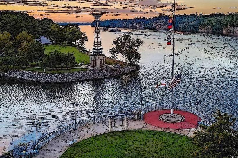
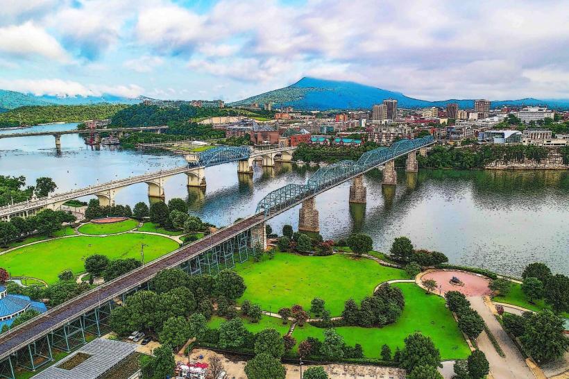
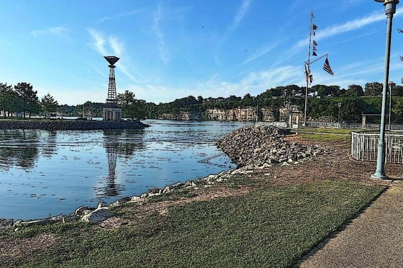
McFarland Park is a municipal park situated along the Tennessee River in Florence, Alabama, USA.
Visual Characteristics
The park features approximately 130 acres of developed and undeveloped land. It includes a paved multi-use trail, open grassy areas, and a shoreline along the Tennessee River. Vegetation consists of mature deciduous trees providing shade, with some areas of open lawn.
Location & Access Logistics
McFarland Park is located at 200 Jim Town Road, Florence, AL 35630. It is approximately 3.2 kilometers (2 miles) south of downtown Florence. Access is directly from Jim Town Road, which connects to State Route 133 (Florence Boulevard). Ample paved parking is available throughout the park, including designated areas near the boat ramp and pavilion. Public transport options to the park are limited; the closest bus routes typically serve the main Florence Boulevard area, requiring a walk or additional transport to reach the park entrance.
Historical & Ecological Origin
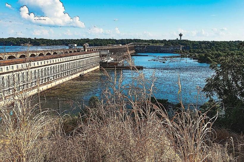
McFarland Park was established as a municipal park by the City of Florence. Its development began in the mid-20th century to provide recreational space along the Tennessee River. The land is part of the broader physiographic region of the Interior Plateau, characterized by river valleys and rolling hills. The riverfront itself is a dynamic ecosystem influenced by the Tennessee River's flow and the presence of the Wilson Dam upstream.
Key Highlights & Activities
Activities include walking, jogging, and cycling on the paved trail. Fishing is permitted from the riverbank and the designated fishing pier. A boat launch provides access to the Tennessee River for boating and watersports. The park contains multiple picnic areas with tables and grills. Playground equipment is available for children. Birdwatching is also a common activity due to the riparian environment.
Infrastructure & Amenities
Restrooms are located near the main pavilion and the boat ramp. Several covered pavilions are available for public use, offering shade. Picnic tables and grills are distributed throughout the park. Cell phone signal (4G/5G) is generally available within the park. No on-site food vendors are present, but convenience stores and restaurants are located a short drive away on Florence Boulevard.
Best Time to Visit
For photography, early morning and late afternoon offer favorable lighting conditions due to the river's orientation. The best months for outdoor activities are typically April through October, with moderate temperatures. Summer months (June-August) can be hot and humid. No specific tide requirements affect park access, as it is situated on a river.
Facts & Legends
McFarland Park is adjacent to the site of the former McFarland Hospital, which operated from the early 20th century until the 1970s. While not a legend, a specific tip for visitors is to be aware of potential flooding during periods of heavy rainfall, as the park's low-lying areas along the river are susceptible.
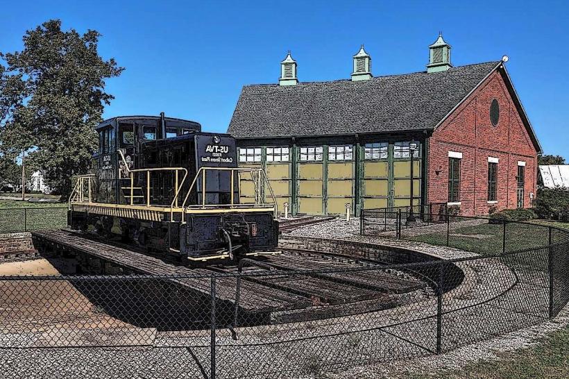
Nearby Landmarks
- Wilson Dam (1.5km Southwest)
- Joe Wheeler State Park (12km Southeast)
- University of North Alabama (3km North)
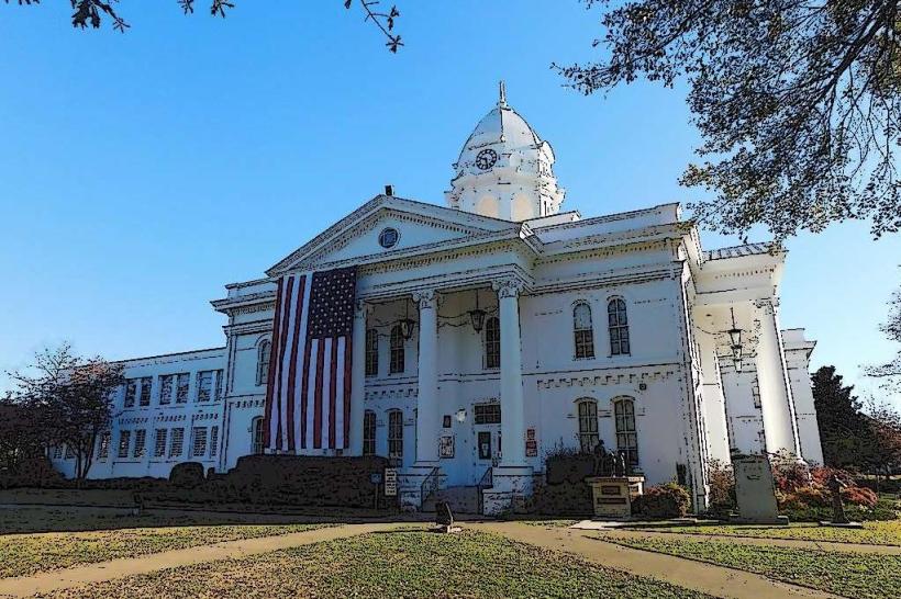
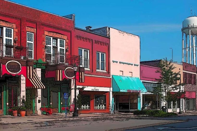
- Downtown Florence Arts District (3km North)
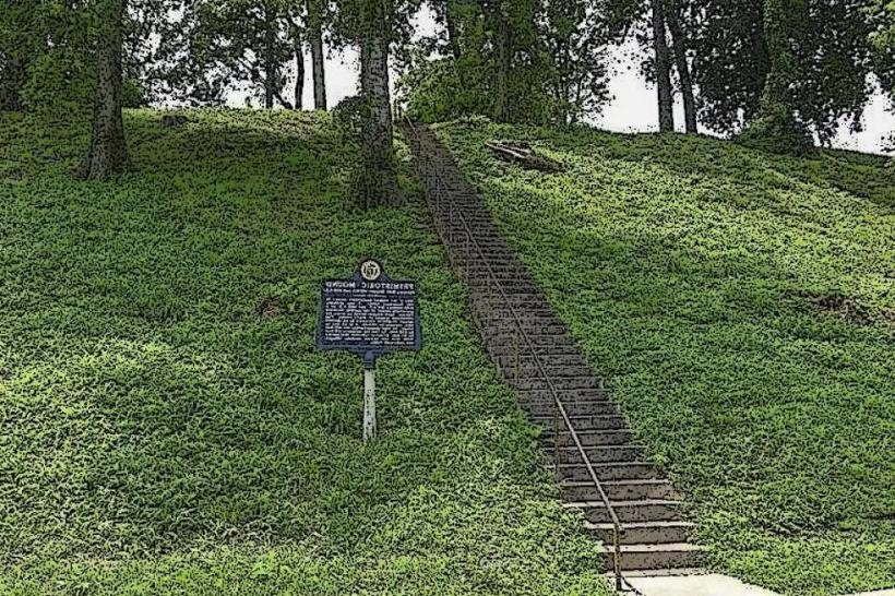
- Florence Indian Mound Museum (4km North)