Information
Landmark: Mont PassotCity: Nosy Be
Country: Madagascar
Continent: Africa
Mont Passot, Nosy Be, Madagascar, Africa
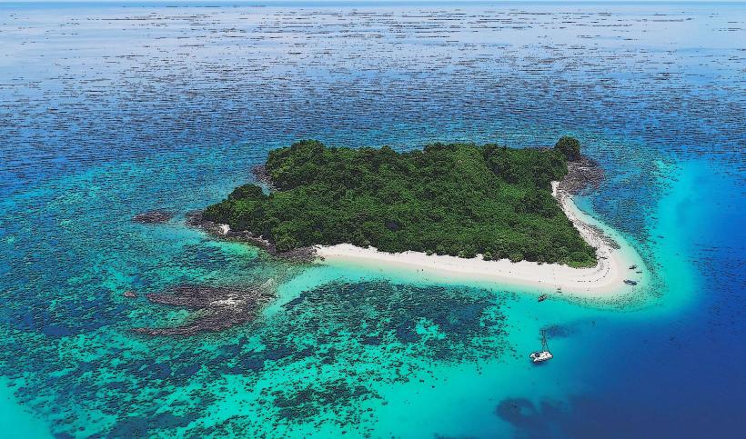
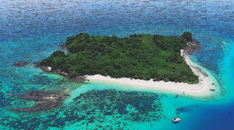
Mont Passot is the highest elevation point on the island of Nosy Be, reaching 329 meters above sea level. It provides extensive panoramic views of the surrounding landscape and several of the island's sacred crater lakes.
Visual Characteristics
The summit of Mont Passot is characterized by a natural earth and rock formation, covered in dense tropical vegetation. From its vantage point, visitors observe a mosaic of green foliage, the blue waters of eight distinct crater lakes, and the distant coastline of Nosy Be and the Mozambique Channel. The overall appearance is that of a rounded hill, with a cleared viewing area at its peak.
Location & Access Logistics
Mont Passot is situated approximately 22 kilometers northeast of Hell-Ville, the main town of Nosy Be. Access is primarily via a paved road from Hell-Ville, transitioning to a less maintained, unpaved track closer to the summit. Parking for vehicles is available at a designated area near the peak. Public transport options include local taxis, tuk-tuks, and rented quad bikes, which can navigate the final ascent. No specific public bus lines serve the immediate summit area.
Historical & Ecological Origin
Mont Passot is a natural geological formation of volcanic origin, characteristic of Nosy Be's island topography. Its formation is attributed to ancient volcanic activity, which also created the numerous crater lakes visible from its summit. Ecologically, it is classified as a tropical hill ecosystem, supporting diverse flora and fauna endemic to the region.
Key Highlights & Activities
The primary activity at Mont Passot is observing the sunset, which offers clear views over the Mozambique Channel. Photography of the landscape and the eight sacred crater lakes is a common pursuit. Visitors can also engage in bird watching, identifying local species within the surrounding vegetation.
Infrastructure & Amenities
Basic restroom facilities are available near the summit viewing area. Limited natural shade is provided by trees, with some small, informal shelters present. Cell phone signal (4G) is generally available at the summit. Local vendors often operate at the peak, offering bottled water, soft drinks, and light snacks, particularly during peak sunset hours.
Best Time to Visit
The optimal time to visit Mont Passot is during the dry season, from May to October, when weather conditions are most stable and skies are clear. For photography, the late afternoon provides ideal lighting for sunset views. Early mornings can offer clear, unobstructed vistas before the heat of the day.
Facts & Legends
Mont Passot is renowned for the eight sacred crater lakes visible from its summit, each holding significance in local Malagasy beliefs. A practical tip for visitors is to arrive at least 45 minutes before the projected sunset time to secure an optimal viewing position and to account for the ascent.
Nearby Landmarks
- Lac Amparihibe: 1.5km East
- Lac Antsidihy: 2.0km South-East
- Lemuria Land Park: 8.0km South
- Andilana Beach: 10.0km North-West