Information
Landmark: Mount ArthurCity: Nelson
Country: New Zealand
Continent: Australia
Mount Arthur, Nelson, New Zealand, Australia
Mount Arthur is a prominent peak located in the Tasman region of New Zealand's South Island, north of the city of Nelson.
Visual Characteristics
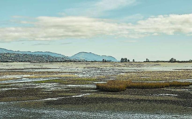
Mount Arthur presents as a rugged mountain with steep, rocky slopes. Its summit is often snow-capped during winter months. The mountain is characterized by scree slopes and exposed rock faces, with vegetation primarily consisting of beech forest at lower elevations and alpine tussock and shrubs at higher altitudes.
Location & Access Logistics
Mount Arthur is situated approximately 30 kilometers northwest of Nelson. Access is primarily via the Motueka Valley Highway (State Highway 60), turning onto Graham Road, which leads to the Mount Arthur trackhead. Parking is available at the designated trailhead. Public transport options to the base of the mountain are limited; visitors typically require private vehicle transport.
Historical & Ecological Origin
Mount Arthur is part of the Mount Arthur Range, which is composed of Paleozoic sedimentary rocks, primarily sandstone and limestone, formed over millions of years through geological uplift and erosion. The area is ecologically significant, supporting a diverse range of native flora and fauna characteristic of the northern South Island's temperate rainforest and alpine environments.
Key Highlights & Activities
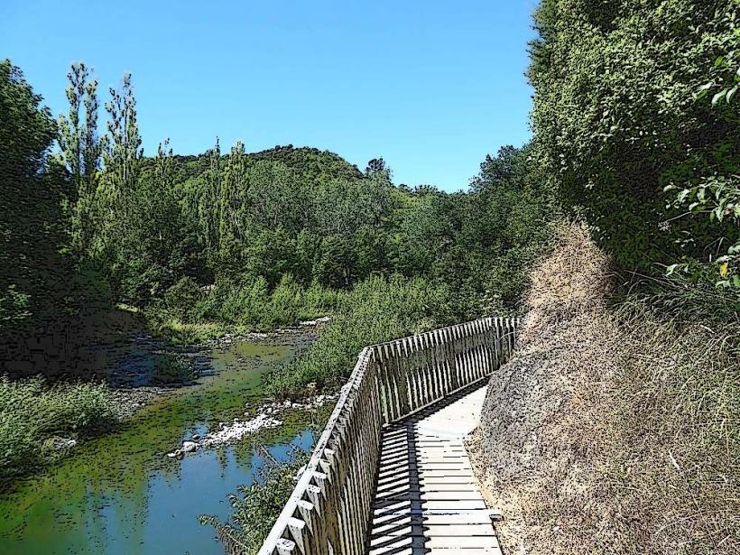
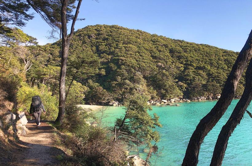
Hiking is the primary activity. The Mount Arthur Track offers a challenging ascent to the summit, providing panoramic views. Shorter walks are available on lower sections of the mountain. Rock climbing opportunities exist on specific rock faces, requiring appropriate gear and experience.
Infrastructure & Amenities
Basic facilities are available at the Mount Arthur trailhead, including a small parking area and information signage. There are no restrooms or food vendors directly at the trailhead. Cell phone signal is unreliable to non-existent on most of the mountain tracks.
Best Time to Visit
The best months for hiking are generally from November to April, avoiding the winter snow and ice. Mid-morning offers good lighting for photography of the surrounding landscape. For those interested in alpine flora, late spring (November-December) is optimal.
Facts & Legends
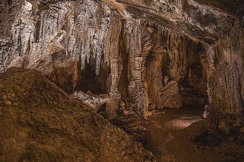
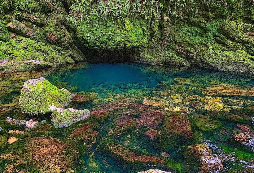
The Mount Arthur region is known for its karst landscapes, featuring numerous caves and sinkholes. One notable cave system, the Mount Arthur Caves, is a significant geological feature, though access is restricted and requires specialized caving knowledge.
Nearby Landmarks
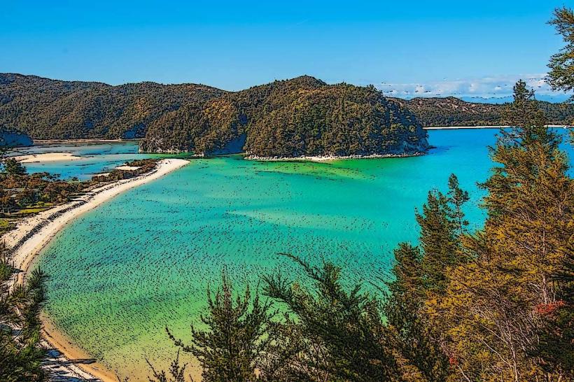
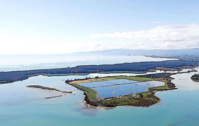
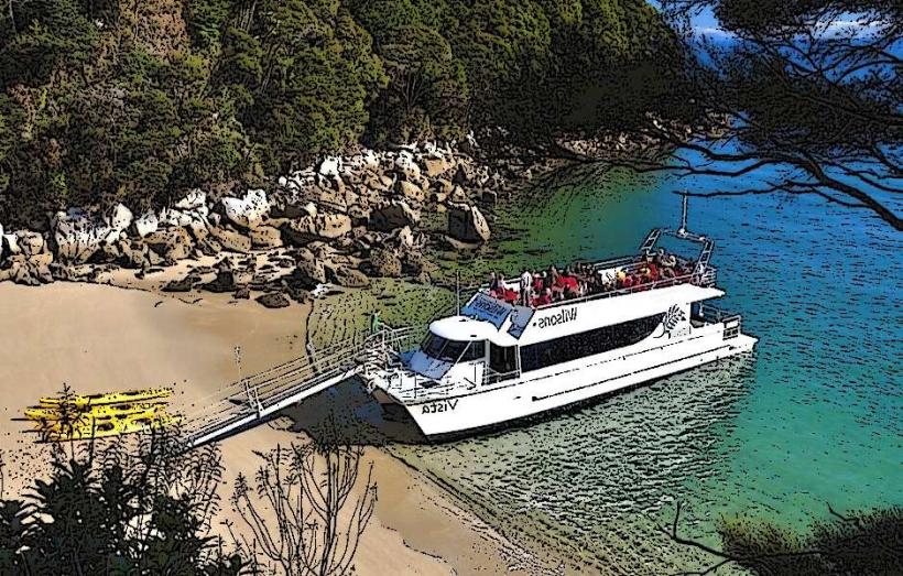
- Abel Tasman National Park (15km Northwest)
- Nelson Lakes National Park (40km Southeast)
- Motueka (10km Southwest)
- Mapua Wharf (20km South)
- Golden Bay (50km Northwest)