Information
Landmark: Waimea InletCity: Nelson
Country: New Zealand
Continent: Australia
Waimea Inlet, Nelson, New Zealand, Australia
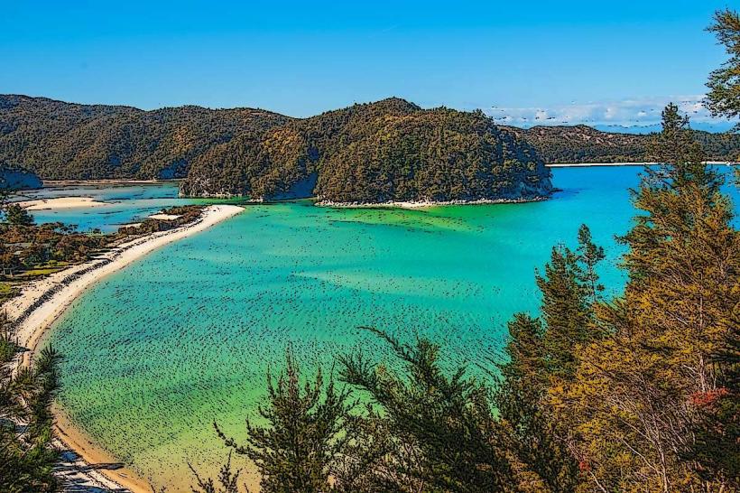
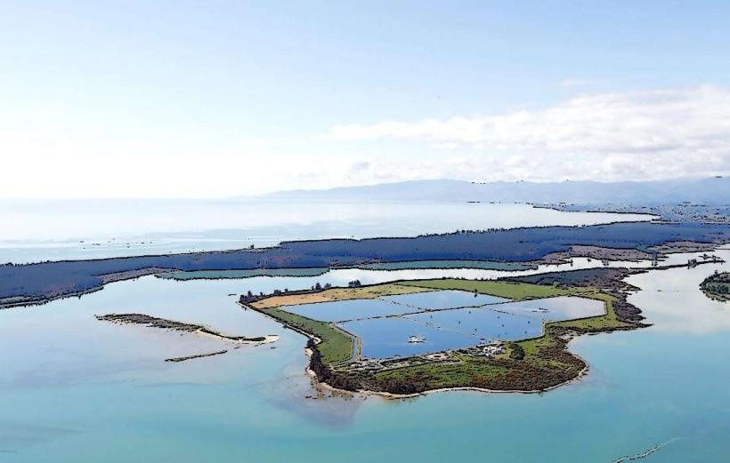
Waimea Inlet is a significant estuarine system located in the Tasman Bay region of New Zealand's South Island, adjacent to the city of Nelson.
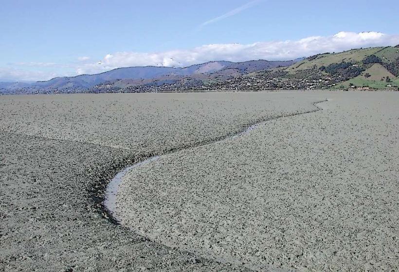
This estuarine environment encompasses a large tidal area characterized by mudflats, salt marshes, and channels.
Visual Characteristics
The inlet features extensive intertidal mudflats that are exposed during low tide, revealing a substrate of fine silt and sand. Salt marshes, dominated by native grasses and sedges, fringe the mudflats. The water color varies with tidal flow and sediment load, often appearing brown or grey. Channels within the inlet are carved by tidal currents. Surrounding vegetation includes coastal scrub and pockets of native forest on higher ground.
Location & Access Logistics
Waimea Inlet is situated west of Nelson city. Access points are primarily via State Highway 6 (Queen Victoria Street) which runs along the eastern edge of the inlet. Local roads such as Rocks Road and Atawhai Drive provide further access. Parking is available at designated points along Rocks Road and at the Tahunanui Beach area. Public transport options include local bus routes that service the coastal road, with stops near access points.
Historical & Ecological Origin
Waimea Inlet is a geologically formed estuarine system, shaped by the confluence of the Waimea River and tidal action from Tasman Bay. Its ecological origin is that of a coastal plain inundated by rising sea levels post-glaciation, creating a habitat for diverse estuarine flora and fauna. Historically, it served as a food source and transport route for Māori.
Key Highlights & Activities
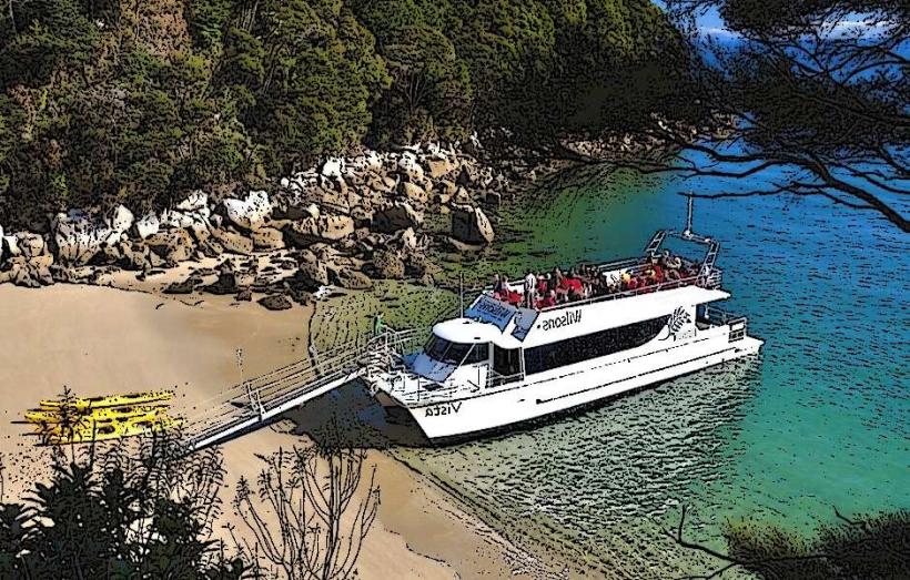
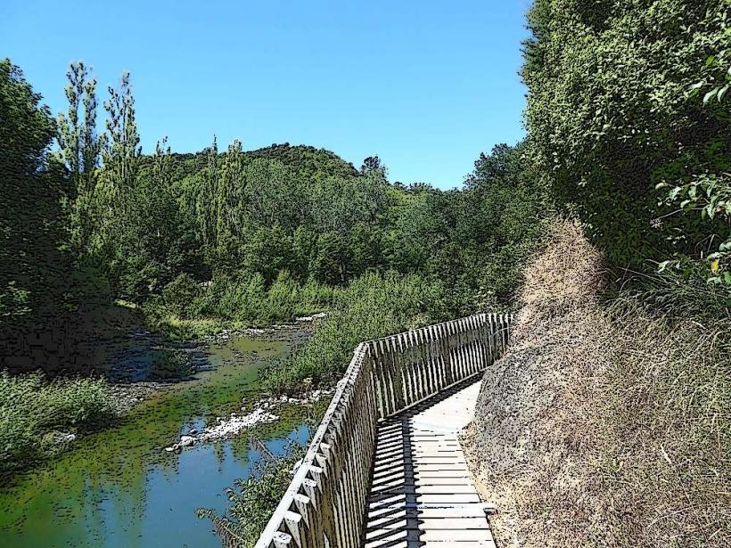
Birdwatching is a primary activity due to the inlet's importance as a habitat for wading birds and migratory species. Kayaking and paddleboarding are possible within the channels, particularly during higher tides. Fishing is permitted in designated areas. Walking trails are present along the periphery, offering views of the mudflats and birdlife.
Infrastructure & Amenities
Restrooms are available at Tahunanui Beach and along Rocks Road. Shade is limited in open mudflat areas but present in adjacent parklands. Cell phone signal (4G/5G) is generally good along the main access roads. Food vendors and cafes are located in the nearby Tahunanui Beach area and along Rocks Road.
Best Time to Visit
For birdwatching, the best time of day is typically early morning or late afternoon when birds are most active. The best months for favorable weather are generally from September to April. Tidal conditions are critical for water-based activities; consult local tide charts for optimal times for kayaking or exploring mudflats.
Facts & Legends
Waimea Inlet is a designated Ramsar site, recognized for its international importance as a wetland. A specific tip for visitors is to observe the intricate patterns left by tidal flows on the mudflats, which change daily.
Nearby Landmarks
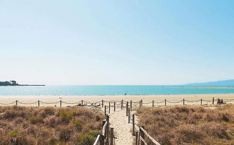
- Tahunanui Beach (0.2km West)
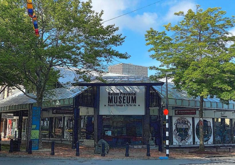
- Nelson Provincial Museum (3.5km East)
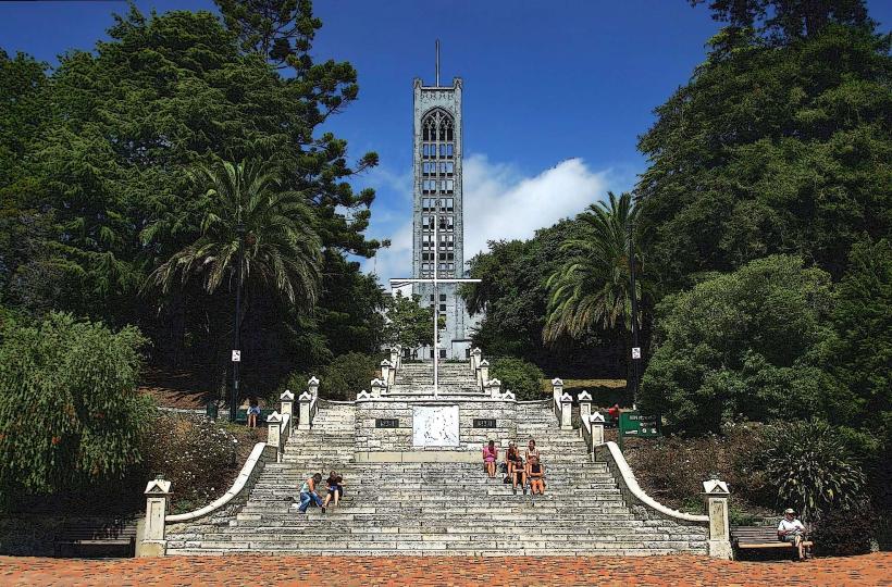
- Centre of New Zealand Walkway (4.0km East)
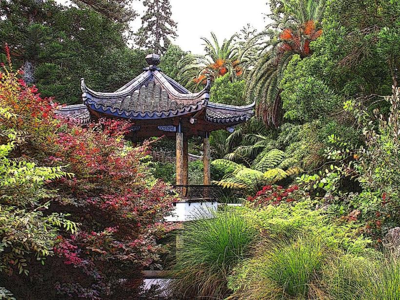
- Miyazu Japanese Garden (4.2km East)
- Nelson Airport (2.5km Southwest)