Information
Landmark: NaradavCity: Walvis Bay
Country: Namibia
Continent: Africa
Naradav, Walvis Bay, Namibia, Africa
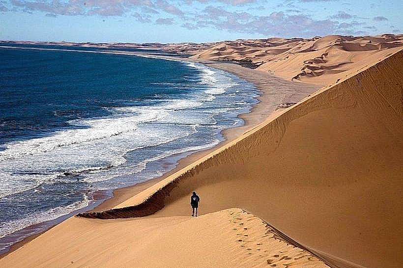
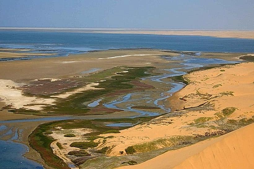
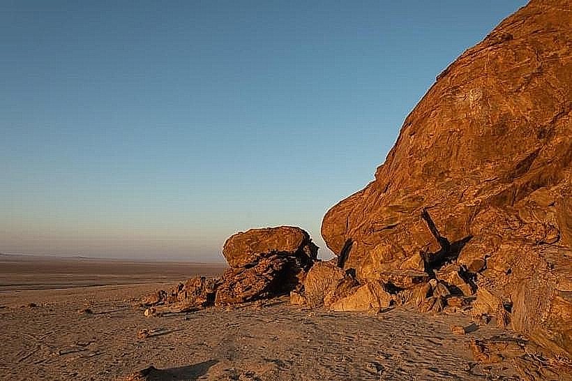
Naradav is a specialized geological outcrop and high-elevation site located within the Naukluft Mountains section of the Namib-Naukluft National Park. It is situated approximately 320 kilometers south of Walvis Bay and serves as a significant marker for the transition from the central desert gravel plains to the rugged escarpment.
Visual Characteristics
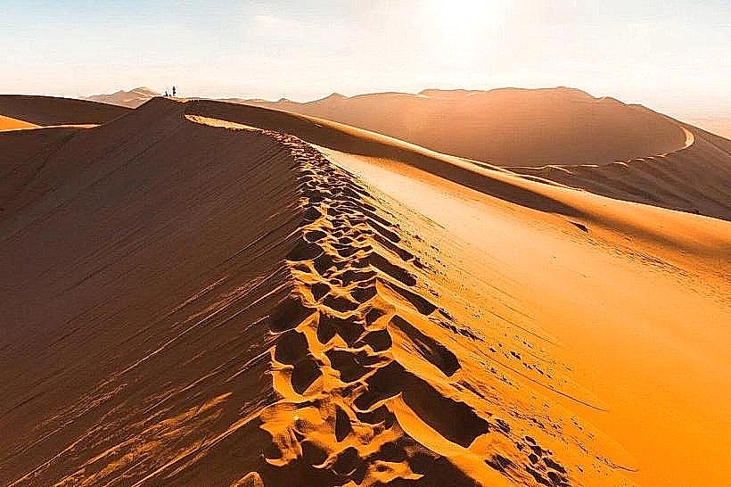
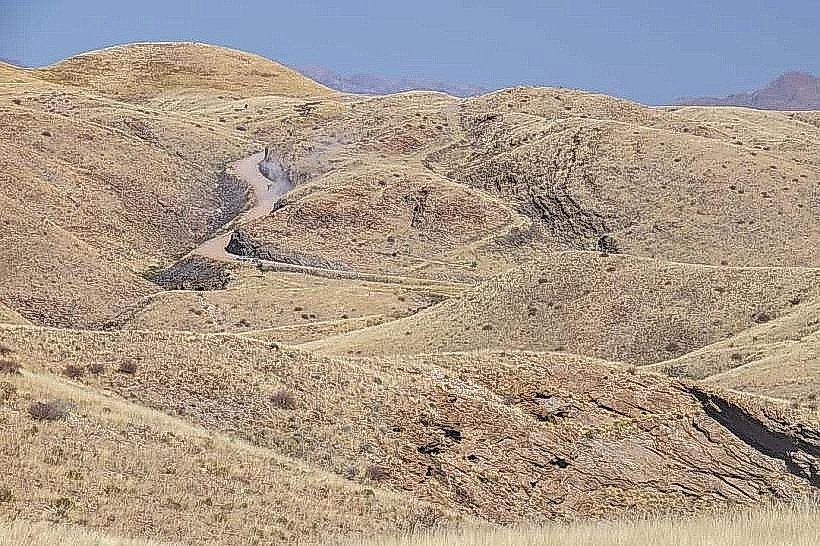
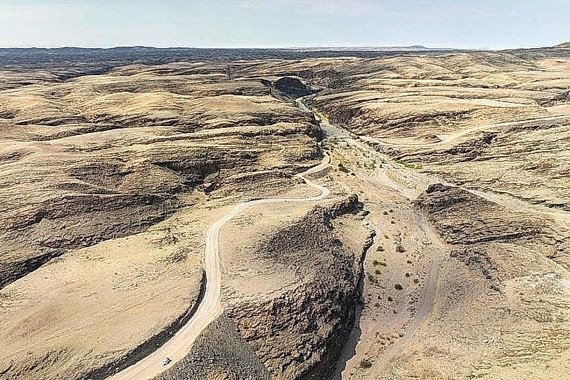
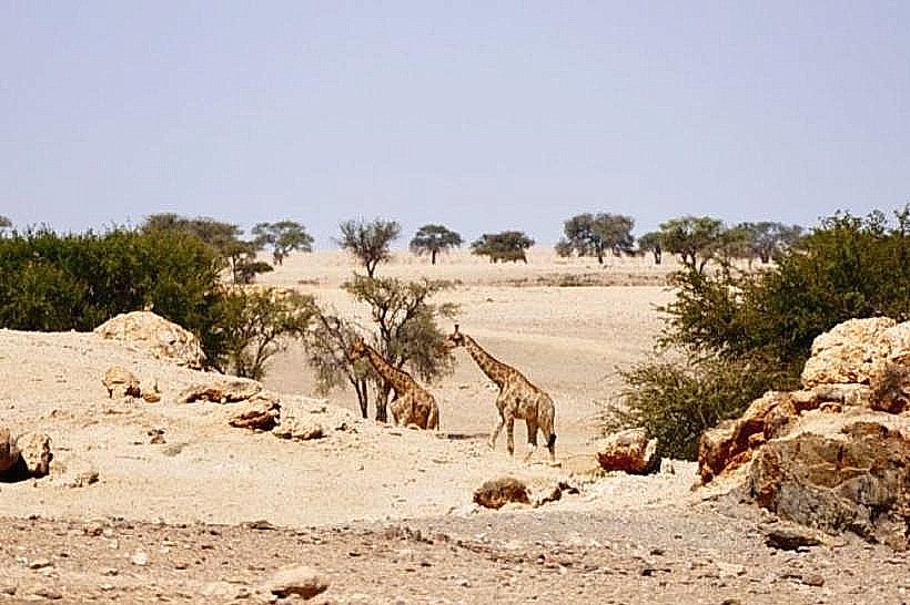
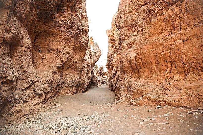
The landmark consists of dark, weathered dolomite and limestone formations characteristic of the Naukluft mountain range. The terrain is highly fractured with sharp, vertical cliffs and deep ravines. Vegetation is sparse, consisting of drought-resistant species such as the quiver tree (Aloidendron dichotomum), resurrection plants, and various Euphorbia species that cling to the rocky ledges.
Location & Access Logistics
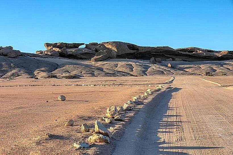
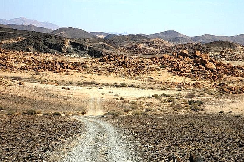
Access is via the C27 road, turning onto the D854 toward the Naukluft administrative office. The site is located approximately 15 kilometers from the park’s northern entrance. Visitors must utilize high-clearance 4x4 vehicles to navigate the steep, rocky tracks that lead to the elevated viewpoints. There is no public transport; hikers typically access the site via the established multi-day Naukluft Hiking Trail.
Historical & Ecological Origin
Naradav is part of the Naukluft Nappe Complex, a geological formation where massive sheets of rock were pushed over younger layers during the Damara Orogeny approximately 500 million years ago. Ecologically, it serves as a critical refuge for the Hartmann’s mountain zebra (Equus zebra hartmannae), which utilizes the high-altitude plateaus for grazing.
Key Highlights & Activities
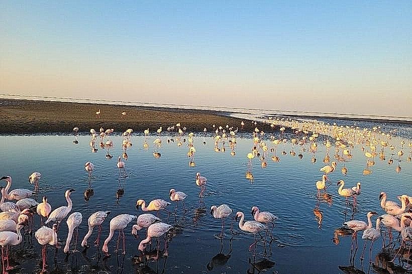
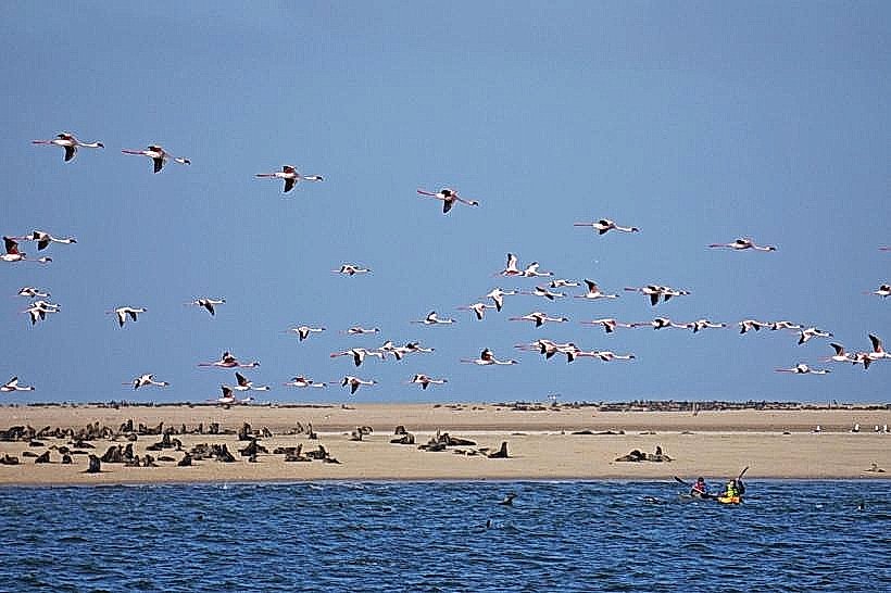
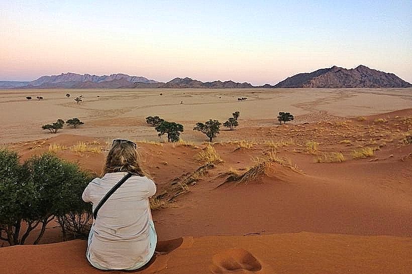
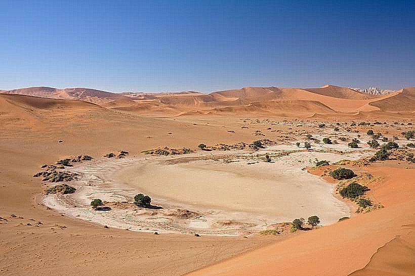
Hiking is the primary activity, with several trails varying from short day-loops to the strenuous 8-day Naukluft trail passing through the area. Birdwatching is common, particularly for raptors like the Black Eagle that nest in the cliffs. The site offers elevated vistas for landscape photography of the distant Namib Sand Sea.
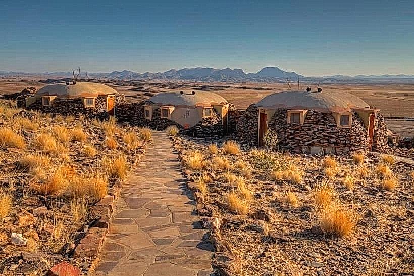
Infrastructure & Amenities
Infrastructure at the specific outcrop is non-existent. The nearest amenities, including basic restrooms, campsites, and water points, are located at the Naukluft Park office 15 kilometers away. There is no cell phone signal (4G/5G) due to the shielding effect of the surrounding mountain peaks.
Best Time to Visit
The best time for a visit is between May and September during the cooler winter months when daytime temperatures range from 15°C to 25°C. For photography, late afternoon provides the best light to define the textures of the mountain folds. Summer visits are discouraged due to high temperatures and the risk of flash floods in the narrow access gorges.
Facts & Legends
Local lore suggests the name Naradav is derived from the Nama language, potentially referring to the presence of water or specific local flora. A specific tip: the area is known for sudden temperature drops at night due to its elevation; even in summer, visitors should carry thermal layers.
Nearby Landmarks
Olive Trail: 12km West
Waterkloof Trailhead: 14km South
Naukluft Park Office: 15km South-East
Bull's Party (Rock Formations): 45km North-East