Information
Landmark: Natewa BayCity: Vanua Levu
Country: Fiji
Continent: Australia
Natewa Bay, Vanua Levu, Fiji, Australia
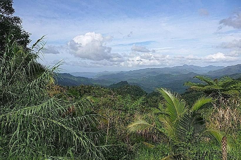
Natewa Bay is the largest bay in the South Pacific, spanning approximately 1,000 square kilometers along the northern coast of the Natewa Peninsula on Vanua Levu, Fiji. It measures 80 kilometers in length and 15 kilometers in width, forming a deep, sheltered body of water largely isolated from open ocean swells.
Visual Characteristics
The bay is defined by calm, clear waters with an average depth of 500 meters, reaching maximum depths exceeding 1,000 meters in specific central basins. The coastline is dominated by primary rainforest that extends from 600-meter-high mountain ridges directly to the shoreline. Underwater, the bay contains a high density of pristine hard coral gardens, sea fans, and submerged seamounts. Fringing reefs and mangrove systems line the perimeter, while the water color transitions from turquoise in the shallows to deep indigo in the center.
Location & Access Logistics
The bay is accessed primarily via the Hibiscus Highway from Savusavu, a drive of approximately 40 to 60 minutes. The nearest urban hub is Savusavu, 60 kilometers to the southwest. Access to the water is available through various coastal villages, such as Tukavesi or Natewa Village, or via the private jetty of Ocean Ventures Fiji. Road conditions on the peninsula consist mainly of unpaved dirt and gravel, which can be degraded; 4WD vehicles are recommended for interior access.
Historical & Ecological Origin
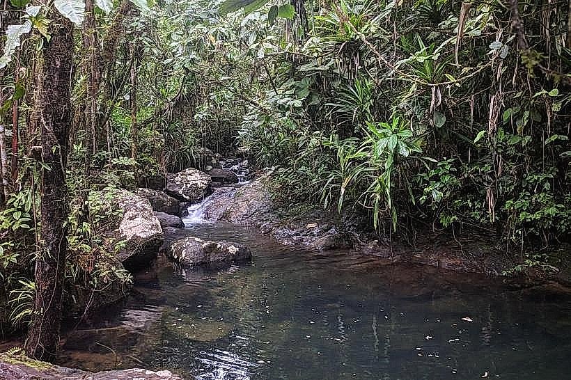
The bay and the adjacent peninsula were formed approximately 7 million years ago from the Natewa Volcanic Group, consisting of Cenozoic lavas and andesite sediments. It is a Key Biodiversity Area (KBA) and a Site of National Significance under the Fiji National Biodiversity Action Plan. The bay’s isolation has preserved unique marine populations, including two resident pods of spinner dolphins and rare species such as the orange-spotted scaleless goby found in its feeder river systems.
Key Highlights & Activities
Scuba diving and snorkeling are the primary activities, focusing on unexplored reef systems and seamounts. Guided dolphin-tracking tours depart from local resorts to observe spinner dolphin pods in the mornings. Kayaking is feasible along the sheltered coastline and through mangrove estuaries. The bay also serves as a base for reef ecology courses and coral restoration programs conducted by conservation organizations.
Infrastructure & Amenities
Infrastructure is extremely limited and localized within coastal villages. There are no public restrooms, shade structures, or food vendors outside of small village shops and established dive operations. 4G cell signal is available near the main highway but intermittent once on the water or in deep bays. Basic health services and a police post are located in Tukavesi.
Best Time to Visit
The best conditions occur during the dry season from May to October, when underwater visibility is highest and the risk of tropical depressions is low. For dolphin sightings, early morning departures (08:00–10:00) are optimal as pods typically move to deeper water in the afternoon. Photography is best in the morning when the sun illuminates the shallow reef flats before the afternoon cloud cover typical of the windward side develops.
Facts & Legends
The Natewa Peninsula is an "almost-island," connected to the rest of Vanua Levu by an isthmus less than 0.5 kilometers wide. Local tradition holds that the bay’s deep waters are protected by ancestral spirits, a belief that has historically limited overfishing and contributed to the bay’s current status as one of the healthiest coral ecosystems in the world.
Nearby Landmarks
Natewa National Park – 2.0km South
Tukavesi Village – 5.0km East
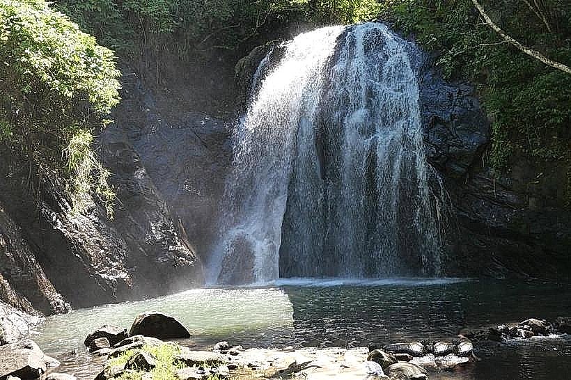
Buca River System – 4.5km East
Mt Uluiqala (832m) – 3.5km South
Savusavu Hot Springs – 42.0km Southwest