Information
Landmark: North Saskatchewan River ValleyCity: Edmonton
Country: Canada
Continent: North America
North Saskatchewan River Valley, Edmonton, Canada, North America
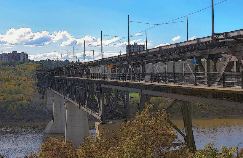
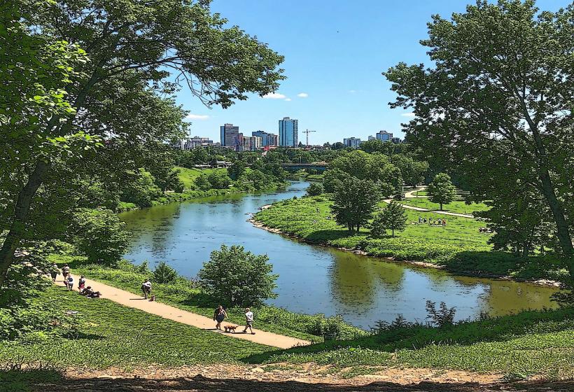
The North Saskatchewan River Valley is a large urban parkland system situated within the city of Edmonton, Alberta, Canada.
It comprises a significant portion of the river's floodplain and adjacent slopes, forming the longest stretch of connected urban parkland in Canada.
Visual Characteristics
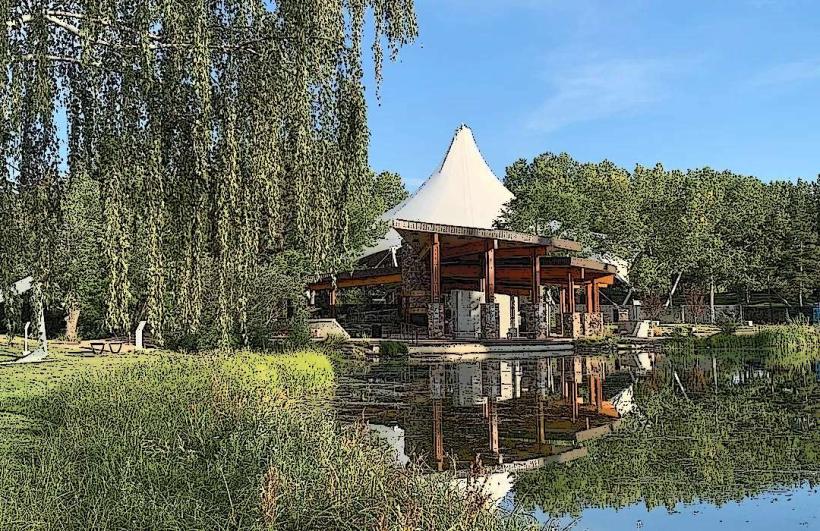
The valley features a diverse topography including steep ravines, rolling hills, and flat riverbanks. Vegetation is dense, dominated by aspen, poplar, and coniferous forests, interspersed with meadows and wetlands. The North Saskatchewan River itself is a wide, slow-moving waterway, typically brown or grey in color due to suspended sediment. The valley floor varies in width, creating distinct microclimates and ecological zones.
Location & Access Logistics
The North Saskatchewan River Valley extends approximately 48 kilometers east to west across Edmonton. Access points are numerous, with major entry points including the Muttart Conservatory parking lot (east end), Hawrelak Park (central), and Buena Vista Park (west end). Major roadways bordering the valley include River Valley Road, Groat Road, and Whitemud Drive. Public transport is available via multiple bus routes that stop near valley access points, such as routes 4, 13, and 106. Several footbridges and vehicle bridges cross the river within the city, providing access to both sides of the valley.
Historical & Ecological Origin
The valley was carved by glacial meltwater and the North Saskatchewan River over thousands of years. Indigenous peoples utilized the valley for millennia. European settlement in the 19th century led to its use for transportation and resource extraction. In the 20th century, a significant portion was designated as parkland to preserve its natural state and provide recreational space. It is classified as a boreal mixedwood forest ecosystem.
Key Highlights & Activities
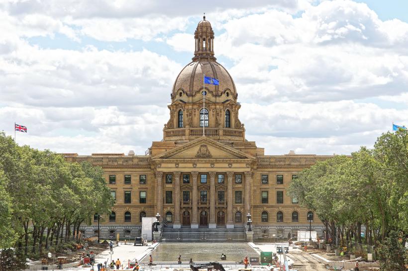
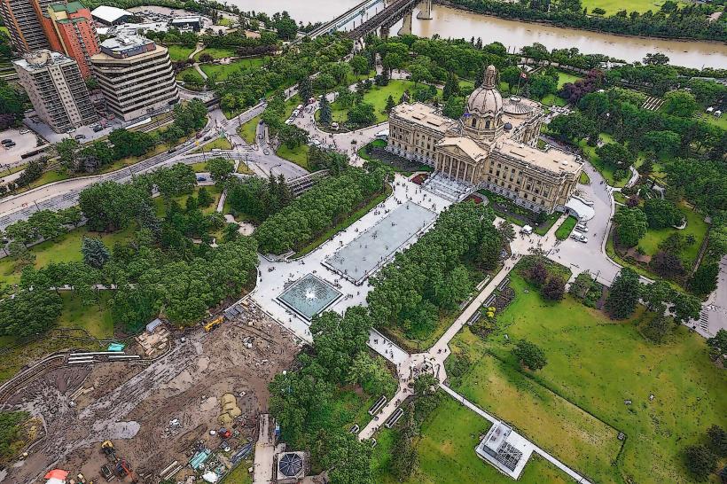
Activities include hiking on over 150 kilometers of paved and unpaved trails, cycling, cross-country skiing in winter, picnicking in designated areas, birdwatching, and fishing in the river. Specific areas offer boat launches and canoe rentals. The Alberta Legislature Building grounds offer elevated views of the central valley.
Infrastructure & Amenities
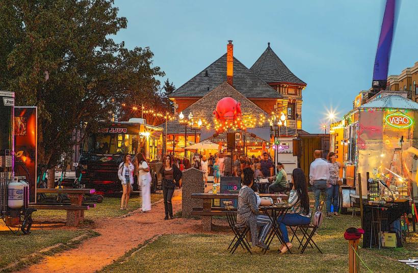
Restrooms are available at major parks within the valley, such as Hawrelak Park and Fort Edmonton Park. Shade is abundant due to tree cover. Cell phone signal (4G/5G) is generally available throughout most of the valley, though it can be intermittent in deeper ravines. Food vendors are typically located at major park hubs or within adjacent commercial areas, not directly within the naturalized sections of the valley.
Best Time to Visit
For photography, early morning or late afternoon light provides optimal illumination of the valley's topography and vegetation. The best months for outdoor activities are May through September, with July and August offering the warmest temperatures. Spring (April-May) is ideal for observing wildflowers and migratory birds. Winter offers opportunities for snowshoeing and cross-country skiing.
Facts & Legends
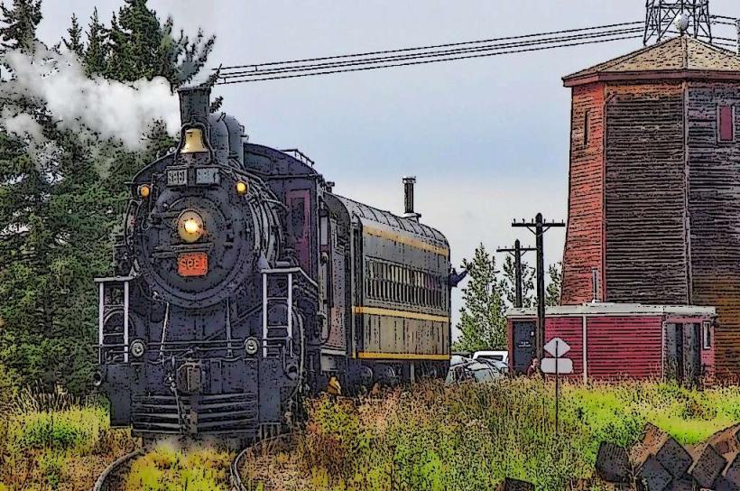
A unique historical oddity is the presence of the ruins of the original Fort Edmonton, a Hudson's Bay Company fur trading post, located within the current Fort Edmonton Park, which is situated within the river valley.
Nearby Landmarks
- Alberta Legislature Building (0.8km Northwest)
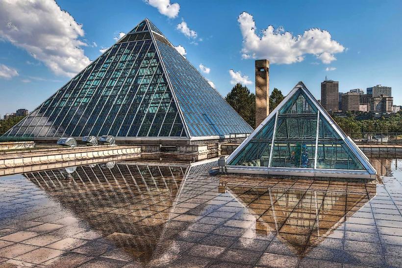
- Muttart Conservatory (2.5km East)
- Fort Edmonton Park (1.5km Southwest)
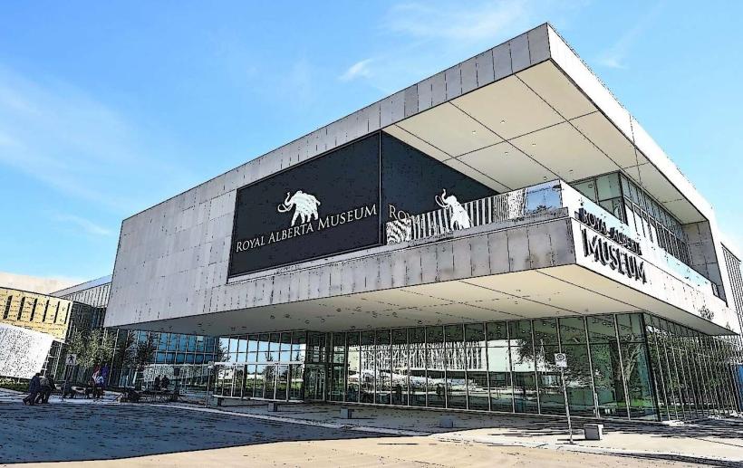
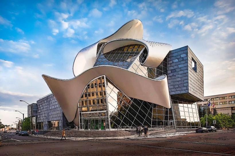
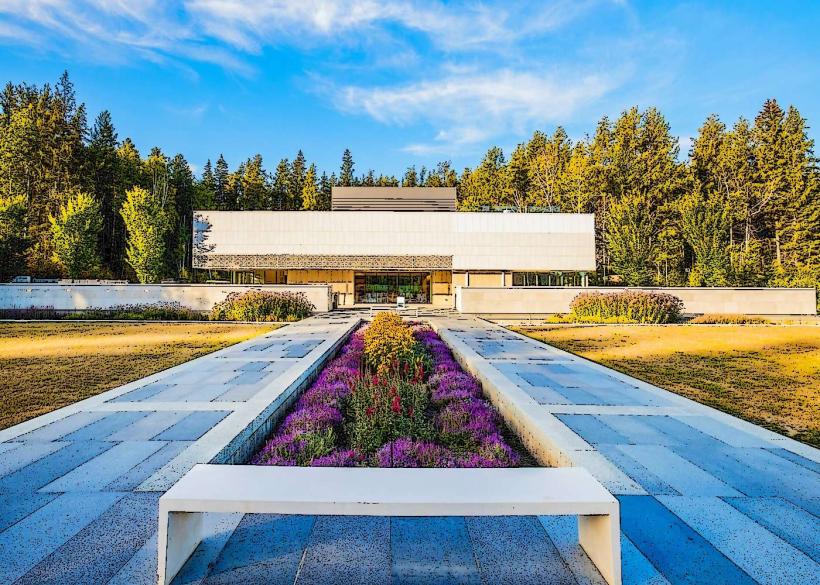
- Royal Alberta Museum (1.2km Northwest)
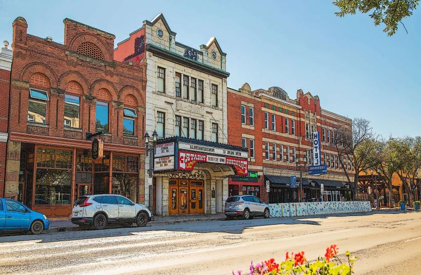
- Old Strathcona (3.0km Southeast)