Information
Landmark: Pampa de la QuinCity: Ayacucho
Country: Peru
Continent: South America
Pampa de la Quin, Ayacucho, Peru, South America
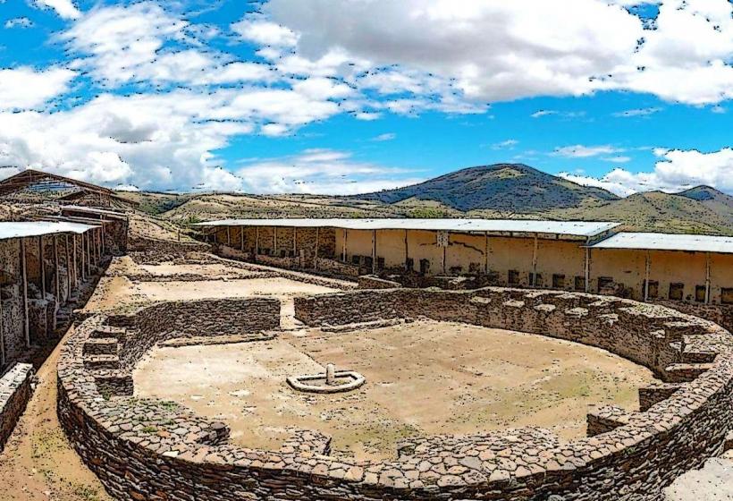
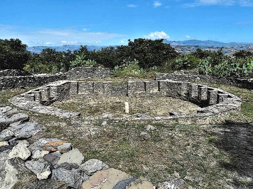
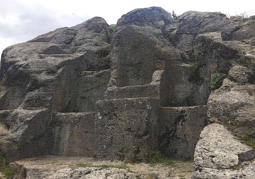
Pampa de la Quin is an archaeological site located in the Ayacucho region of Peru. It features pre-Inca ruins and ceremonial platforms.
Visual Characteristics
The site consists of stone structures, primarily constructed from rough-hewn, locally sourced stone. The primary visible elements are low walls, rectangular platforms, and remnants of what appear to be ceremonial enclosures. Vegetation is sparse, consisting of dry grasses and low shrubs typical of the Andean highlands. The dominant color palette is earth tones: grey and brown stone against a backdrop of pale green and yellow vegetation.
Location & Access Logistics
Pampa de la Quin is situated approximately 15 kilometers southwest of the city of Ayacucho. Access is via the Carretera Ayacucho-Abancay (PE-30C). Turn off the main highway onto a dirt track approximately 12 kilometers from Ayacucho. This track leads directly to the site. The final 3 kilometers of the track are unpaved and may require a 4x4 vehicle, especially during the rainy season. Parking is available on-site in an open, unpaved area. Public transport to the site is not available; private vehicle or taxi is required.
Historical & Ecological Origin
The ruins at Pampa de la Quin are attributed to the Wari culture, which flourished between 600 and 1000 CE. The site is believed to have served as a ceremonial center or administrative outpost. Its ecological context is the high Andean puna, characterized by arid conditions and high altitude.
Key Highlights & Activities
Exploration of the stone platforms and enclosures. Observation of the architectural layout. Photography of the ruins and surrounding landscape. Walking the perimeter of the site.
Infrastructure & Amenities
There are no permanent infrastructure or amenities at Pampa de la Quin. Restrooms, shade structures, and food vendors are absent. Cell phone signal (4G/5G) is unreliable and generally unavailable at the site.
Best Time to Visit
The best time for photography is during the morning or late afternoon when the sun angle creates shadows that define the stone structures. The dry season, from April to October, offers the most stable weather conditions with minimal rainfall. The site is accessible year-round, but the unpaved access track can become difficult to navigate after heavy rains.
Facts & Legends
Local oral tradition suggests that the platforms were used for astronomical observations by the Wari priests. One specific detail to note is the alignment of certain stone alignments with solstice sunrise points, though this requires detailed surveying to confirm.
Nearby Landmarks
- Wari Archaeological Complex (12km Northeast)
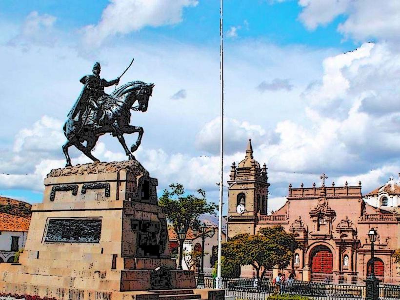
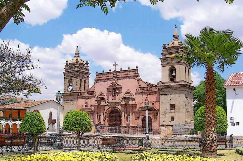
- Ayacucho Cathedral (15km Northeast)
- Plaza de Armas, Ayacucho (15km Northeast)
- Museo de Arqueología, Antropología e Historia de Ayacucho (15km Northeast)