Information
Landmark: Parque de MatalenasCity: Santander
Country: Spain
Continent: Europe
Parque de Matalenas, Santander, Spain, Europe
Parque de Mataleñas is a public municipal park situated on the northern coast of Santander between the Sardinero beaches and the Cabo Mayor lighthouse. It occupies a coastal plateau that offers elevated views of the Cantabrian Sea and the Mouro Island lighthouse.
Visual Characteristics
The park features expansive lawn areas, pine groves, and rugged limestone cliffs. The vegetation is characterized by wind-resistant coastal shrubbery and landscaped flower beds. A 2.3-kilometer perimeter track consists of packed earth and gravel, following the natural contours of the cliffs above the sea.
Location & Access Logistics
Located on Avenida del Faro, the park is approximately 4 kilometers north of the Santander city center. It is accessible via the S-20 highway or the Avenida de la Constitución. Public transport is provided by bus lines 1, 2, and 13, which stop at the park's southern entrance near the golf course. Free public parking is available at the entrance adjacent to the Mataleñas Golf Club.
Historical & Ecological Origin
The land was originally a private estate owned by the Pérez de la Riva family before being acquired by the city council for public use in the mid-20th century. Geologically, the park sits on a karst platform of Cretaceous limestone, shaped by marine erosion that has created sea caves and sharp vertical drops into the water below.
Key Highlights & Activities
A coastal hiking trail encircles the park, connecting the Playa de Mataleñas with the Cabo Mayor lighthouse. The park contains a public 9-hole golf course (Campo de Golf de Mataleñas) and a dedicated children's playground. Fitness stations are positioned along the perimeter path for outdoor exercise.
Infrastructure & Amenities
Public restrooms are available near the playground and within the golf club cafeteria. The park has 5G cellular coverage throughout its area. Natural shade is abundant under the pine trees, and several stone benches are positioned at coastal viewpoints. Food vendors are located at the Cabo Mayor lighthouse and near the golf course entrance.
Best Time to Visit
The best time for photography is at sunset, as the light hits the cliffs and the Cabo Mayor lighthouse directly. Early mornings provide the calmest conditions for using the perimeter trail. The park remains open 24 hours a day, but lighting is limited on the cliffside paths after dark.
Facts & Legends
The park provides the primary access to the secluded Playa de Mataleñas via a steep staircase carved into the cliffside. A unique feature of the park is the "Panteón de los Ingleses," a nearby historic cemetery located on the cliffs, which holds the remains of British soldiers who fought during the Peninsular War.
Nearby Landmarks
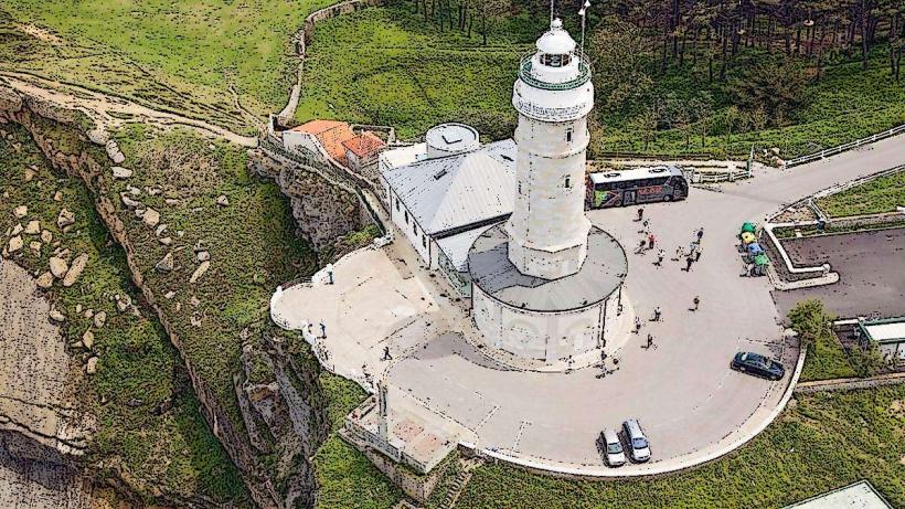
Cabo Mayor Lighthouse: 0.8km North
Playa de Mataleñas: 0.3km East
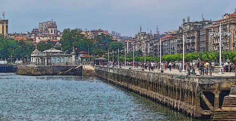
El Sardinero Beach: 1.2km South
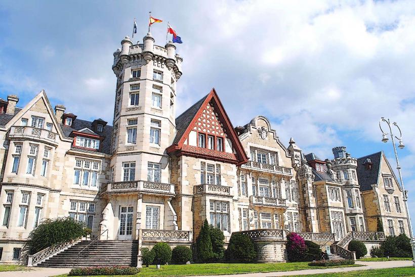
Palacio de la Magdalena: 2.5km Southeast
Piquío Gardens: 2.0km South