Information
Landmark: Parque Nacional SajamaCity: Potosi
Country: Bolivia
Continent: South America
Parque Nacional Sajama, Potosi, Bolivia, South America
Parque Nacional Sajama is a protected area located in the Oruro Department of Bolivia, near the border with Chile.
It encompasses a high-altitude Andean plateau characterized by volcanic peaks and diverse wildlife.
Visual Characteristics
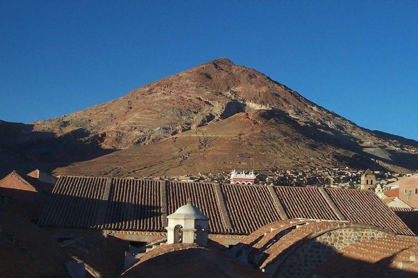
The park's landscape is dominated by Sajama Volcano, an inactive stratovolcano reaching 6,542 meters (21,463 feet). The terrain consists of arid puna grasslands, interspersed with rocky outcrops and shallow lakes. Vegetation is sparse, primarily consisting of ichu grass and low-lying shrubs adapted to the harsh climate. Lake Sajama, a saline body of water, exhibits varying shades of pink and turquoise depending on mineral content and light conditions.
Location & Access Logistics
Parque Nacional Sajama is situated approximately 200 kilometers (124 miles) west of Oruro city. Access is primarily via the paved Ruta 4 highway, turning south onto an unpaved road towards the town of Sajama. The journey from Oruro takes approximately 3-4 hours by vehicle. Limited public transport operates to the town of Sajama; private vehicle hire or organized tours are the most common methods of access. Parking is available in the town of Sajama, with limited informal parking near trailheads within the park.
Historical & Ecological Origin
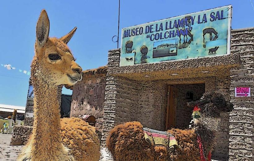
The park's geological origin is tied to volcanic activity, with Sajama Volcano being the most prominent feature. The surrounding puna grassland ecosystem is a high-altitude biome characterized by cold temperatures, strong winds, and low oxygen levels. The area has been inhabited by indigenous Aymara communities for centuries, who have traditionally utilized the land for grazing llamas and alpacas.
Key Highlights & Activities
Hiking to the base of Sajama Volcano is a primary activity. Observing vicuñas, alpacas, and flamingos in their natural habitat is possible. Visiting the thermal springs near the town of Sajama offers a natural bathing experience. Photography of the volcanic landscapes and wildlife is recommended. Trekking to the glacial lakes provides opportunities for observing high-altitude flora and fauna.
Infrastructure & Amenities
Basic infrastructure is present in the town of Sajama, including small guesthouses and food stalls offering local cuisine. Restrooms are available in the town and at some designated viewpoints. Shade is minimal outside of the town. Cell phone signal is intermittent and generally unreliable within the park boundaries. No formal visitor center or park rangers are consistently stationed within the park itself.
Best Time to Visit
The dry season, from May to October, offers the most stable weather conditions with clear skies and less precipitation. Daytime temperatures can range from 5°C to 15°C (41°F to 59°F), with nighttime temperatures dropping below freezing. The wet season (November to April) can bring rain and snow, making access more difficult. For photography, early morning and late afternoon provide optimal lighting on Sajama Volcano.
Facts & Legends
Local Aymara legend states that Sajama Volcano is a sleeping giant, and its occasional rumblings are signs of its displeasure. A specific tip for visitors is to acclimatize to the high altitude (over 4,000 meters) for at least 24-48 hours in Oruro or La Paz before attempting any strenuous activity in the park to mitigate altitude sickness.
Nearby Landmarks
- Laguna Colorada (250km Southwest)
- Salar de Uyuni (280km Southeast)
- Parque Nacional Lauca (Chile) (50km West)
- Termas de Suriplaza (5km Northeast)
- Nevado Illimani (La Paz) (200km Northeast)