Information
Landmark: TupizaCity: Potosi
Country: Bolivia
Continent: South America
Tupiza, Potosi, Bolivia, South America
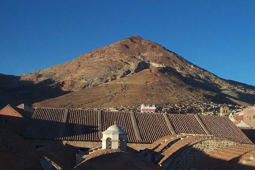
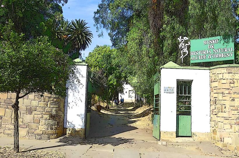
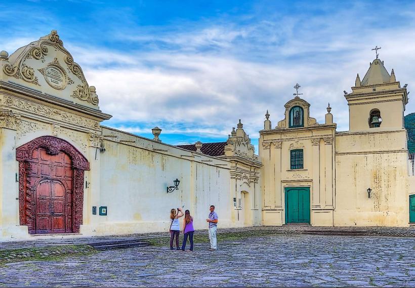
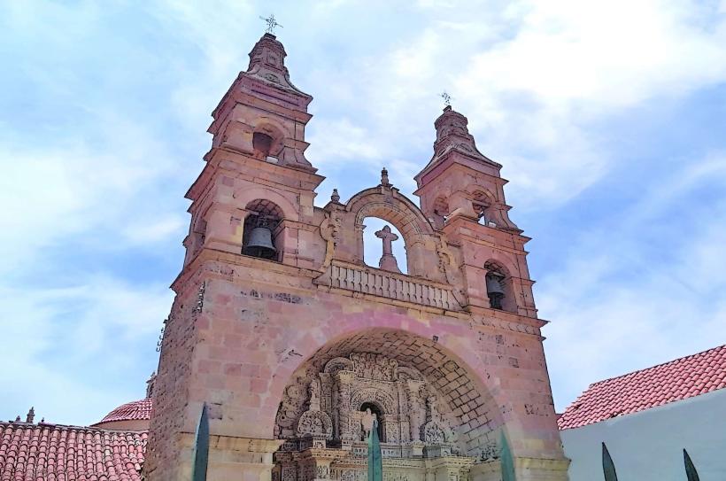
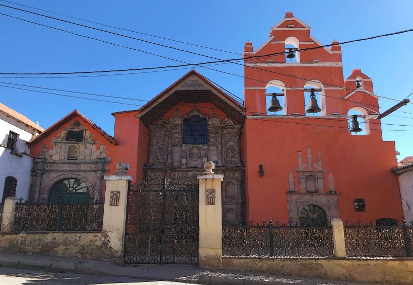
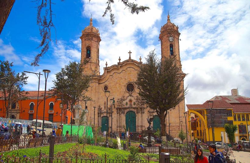
Tupiza is a city located in the Sud Chichas Province of the Potosí Department in southwestern Bolivia. It serves as a primary gateway to a region characterized by dramatic geological formations.
Visual Characteristics
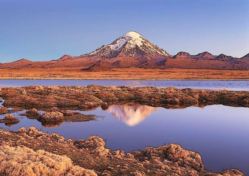
The city itself is situated in a valley with adobe and brick structures. The surrounding landscape features prominent red sandstone formations, canyons, and arid vegetation. Rock colors range from ochre to deep red, with formations exhibiting sharp, eroded edges.
Location & Access Logistics
Tupiza is located approximately 200 kilometers south of the city of Potosí. Access is primarily via National Route 14 (Ruta 14), which connects to other major Bolivian cities. The nearest airport with scheduled commercial flights is in Uyuni, approximately 200 kilometers to the north, requiring onward travel by bus or private vehicle. Bus services operate regularly from Potosí and Tarija. Parking is available on city streets, though it is often informal.
Historical & Ecological Origin
Tupiza's origins are linked to its historical role as a trading post and its proximity to mining activities in the region. Ecologically, the area is part of the dry inter-Andean valleys, characterized by arid conditions and specific flora adapted to low rainfall. The distinctive red rock formations are a result of sedimentary rock erosion over geological time.
Key Highlights & Activities
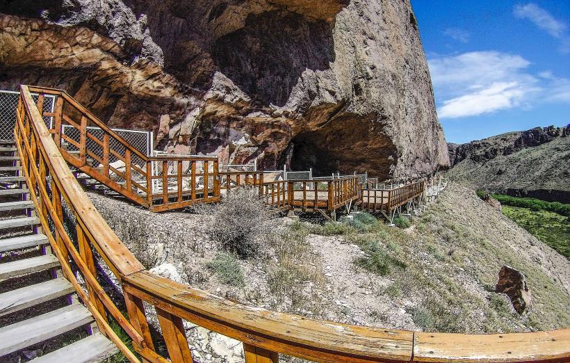
Activities include guided excursions to the surrounding rock formations such as the Valle de los Machos and the Cañón del Inca. Horseback riding tours are available to explore these areas. Hiking is possible on designated trails within the geological parks. Photography of the rock formations is a primary activity, particularly during sunrise and sunset.
Infrastructure & Amenities
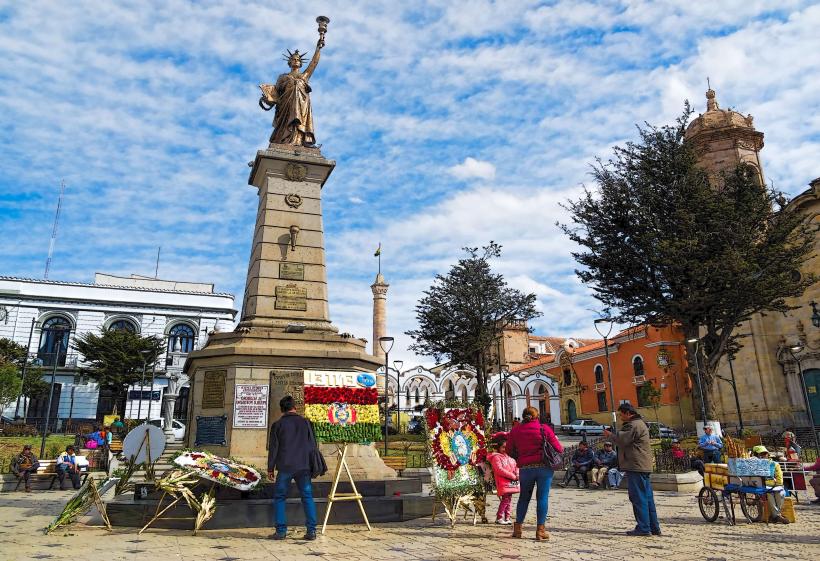
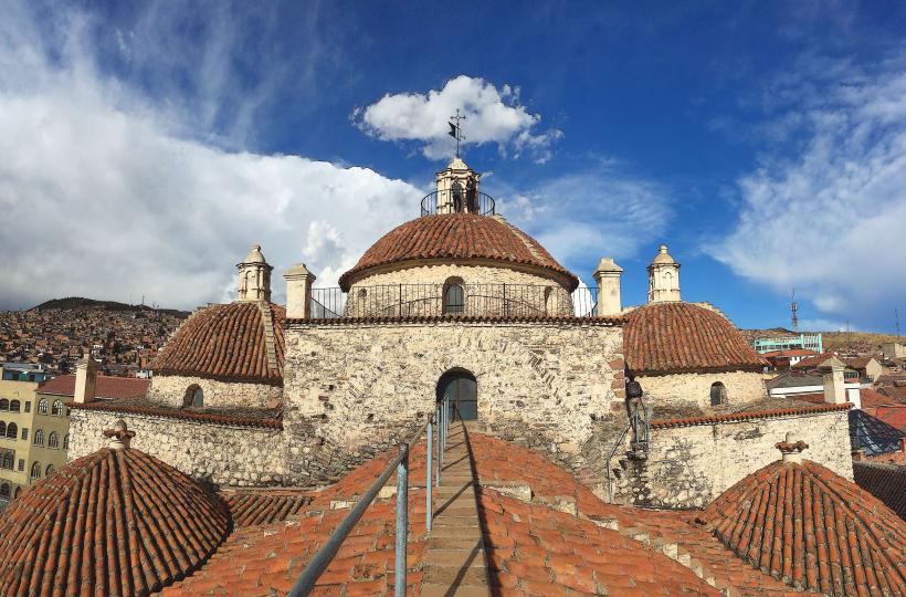
Basic tourist infrastructure is present in Tupiza, including hotels and restaurants. Restrooms are available in most establishments. Shade is limited in the natural formations, requiring visitors to bring sun protection. Cell phone signal (2G/3G) is generally available within the city but can be intermittent in remote natural areas. Food vendors are concentrated within the city limits.
Best Time to Visit
The dry season, from April to October, offers the most favorable weather conditions with minimal rainfall. The best time of day for photography of the rock formations is early morning or late afternoon when the light accentuates the colors and textures. There are no tidal considerations for this inland location.
Facts & Legends
Tupiza was once a significant center for silver mining. A local legend speaks of a hidden Inca treasure concealed within one of the red rock canyons, though no verifiable evidence supports this claim. A practical tip for visitors is to carry sufficient water, as the arid climate can lead to rapid dehydration.
Nearby Landmarks
- Valle de los Machos (3km West)
- Cañón del Inca (10km Southwest)
- Cerro Corazón de Jesús (2km North)
- Laguna Colorada (approx. 150km Southwest - requires multi-day tour)