Information
Landmark: Pasir PanjangCity: Southern Region
Country: Singapore
Continent: Asia
Pasir Panjang, Southern Region, Singapore, Asia
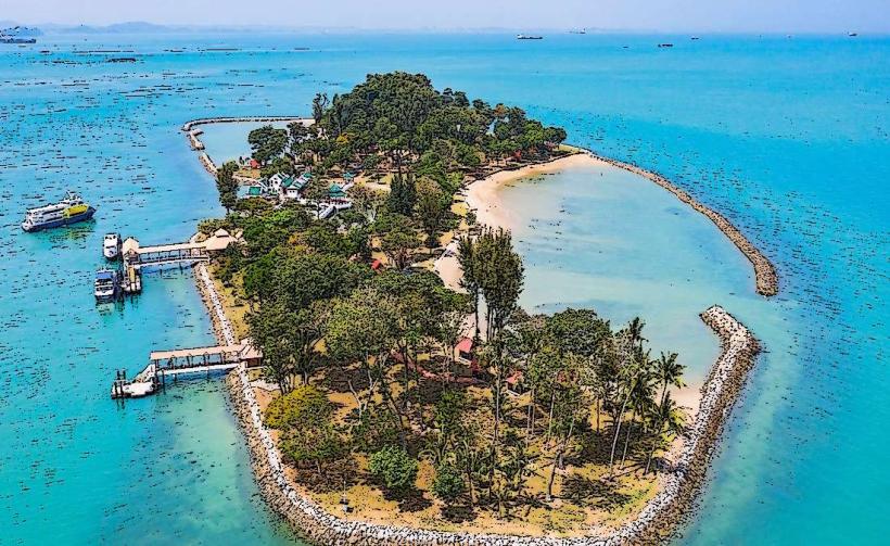
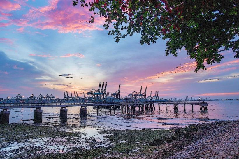
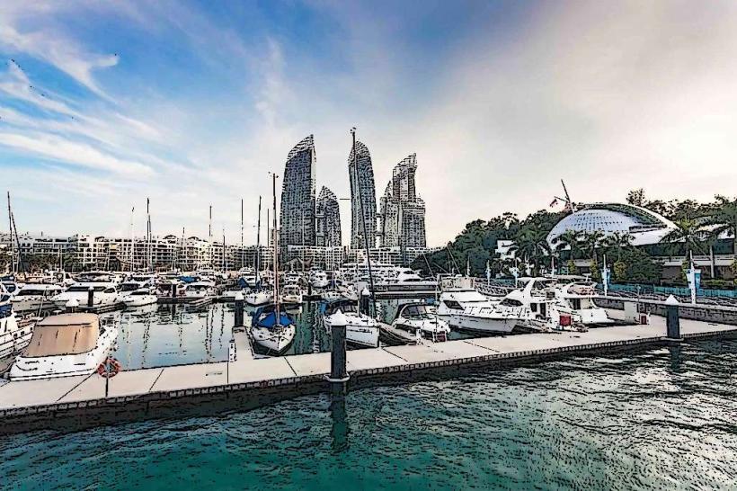
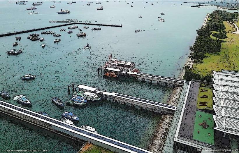
Pasir Panjang is a coastal area located in the Southern Region of Singapore. It is characterized by its shoreline and proximity to industrial and port facilities.
Visual Characteristics
The coastline at Pasir Panjang consists primarily of reclaimed land and industrial waterfronts. Natural vegetation is sparse, with limited areas of scrub and hardy coastal plants. The water color is typically a muted grey-green, reflecting the industrial activity and sediment load common in busy port areas. Rock formations are artificial, consisting of seawalls and breakwaters constructed from concrete and granite.
Location & Access Logistics
Pasir Panjang is situated along the southern coast of Singapore, approximately 10 kilometers southwest of the Central Business District. Access is primarily via West Coast Highway and Pasir Panjang Road. Several bus routes serve the area, including Bus 10, 143, and 188, with stops located along Pasir Panjang Road. Limited public parking is available at designated points, though it can be restricted due to ongoing port operations. The nearest Mass Rapid Transit (MRT) station is Haw Par Villa on the Circle Line, approximately 1.5km inland.
Historical & Ecological Origin
The area's current form is largely a result of extensive land reclamation projects undertaken by the Port of Singapore Authority (PSA) and government agencies, beginning in the mid-20th century. Historically, the coastline was more natural, with smaller fishing villages and undeveloped shorelines. Ecologically, it is now an urbanized coastal zone, with limited natural habitat remaining. The marine environment is influenced by shipping traffic and industrial discharge.
Key Highlights & Activities
Activities are limited due to the industrial nature of the area. Observation of port operations and container terminals is possible from designated public access points. Walking or cycling along sections of the Pasir Panjang Road offers views of the harbor. Fishing is permitted in specific, marked zones, subject to local regulations.
Infrastructure & Amenities
Public restrooms are scarce and generally located near limited public access points or within adjacent commercial developments. Shade is minimal, primarily found under overpasses or within the limited green spaces. Cell phone signal (4G/5G) is generally strong throughout the area. Food vendors are not typically found directly along the waterfront; options are available in nearby residential or commercial districts.
Best Time to Visit
For observing port activity, any time during daylight hours is suitable. Early morning or late afternoon can offer softer lighting conditions for photography of the industrial landscape. Weather is generally consistent year-round, though the monsoon seasons (November to January and June to September) may bring heavier rainfall.
Facts & Legends
Pasir Panjang translates to "long beach" in Malay, a name that reflects its historical coastline before significant land reclamation altered its geography. A specific local legend speaks of a large, submerged rock formation off the coast, rumored to be the resting place of an ancient sea serpent, though no verifiable evidence supports this.
Nearby Landmarks
- Haw Par Villa (1.5km Northeast)
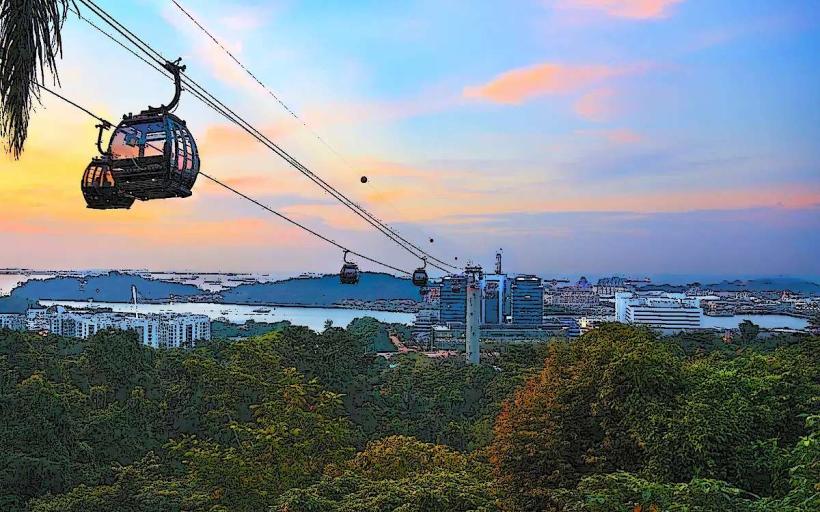
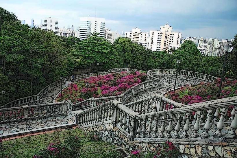
- Mount Faber Park (3.0km East)
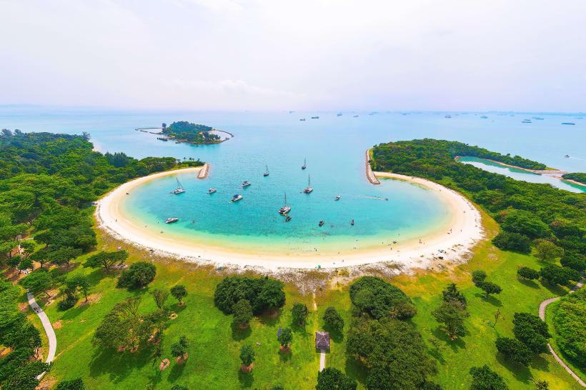
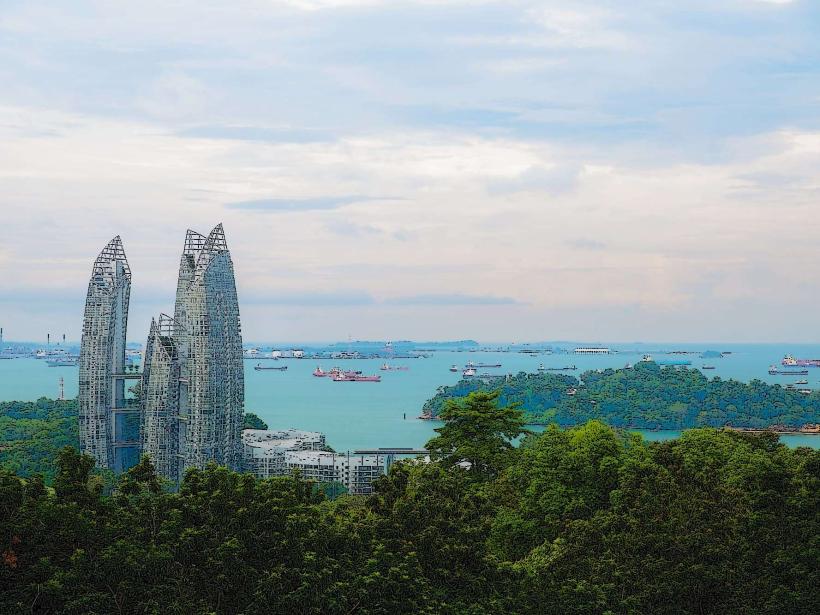
- Sentosa Island (4.0km Southeast)
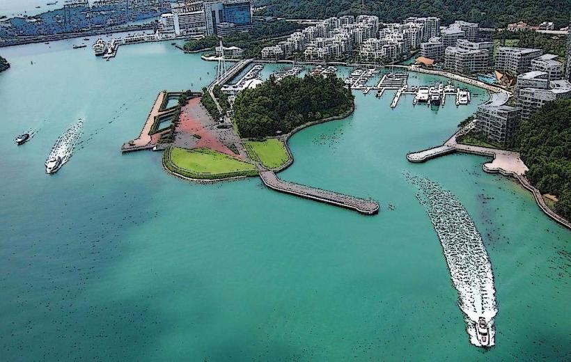
- Keppel Bay (4.5km East)
- Labrador Nature Reserve (2.0km West)