Information
Landmark: Southern RidgesCity: Southern Region
Country: Singapore
Continent: Asia
Southern Ridges, Southern Region, Singapore, Asia
The Southern Ridges is a 10-kilometer network of walking trails connecting several parks and nature reserves in Singapore's Southern Region.
It offers elevated walkways and natural terrain through secondary forest and along ridges.
Visual Characteristics
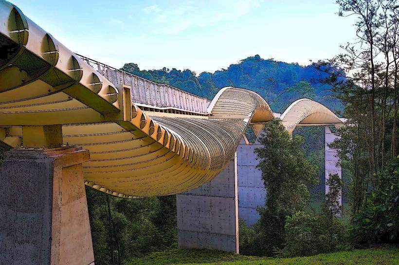
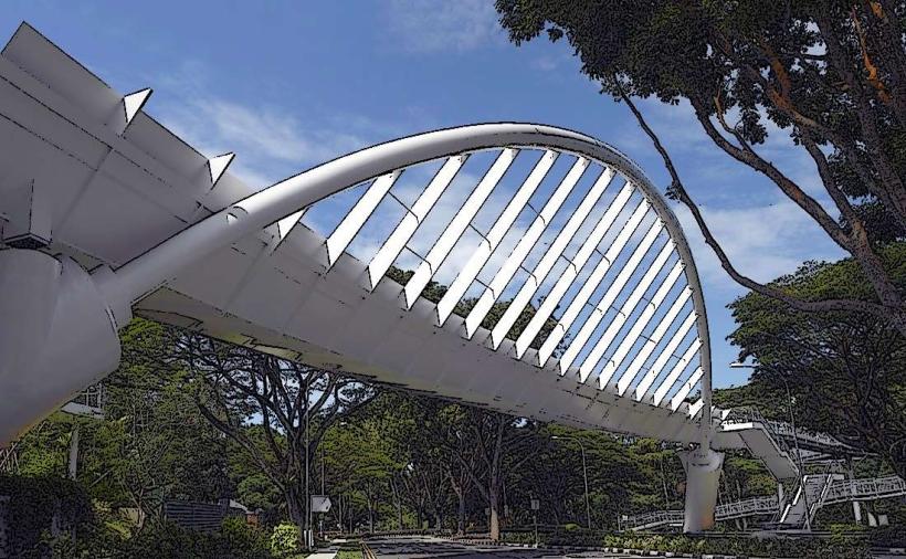
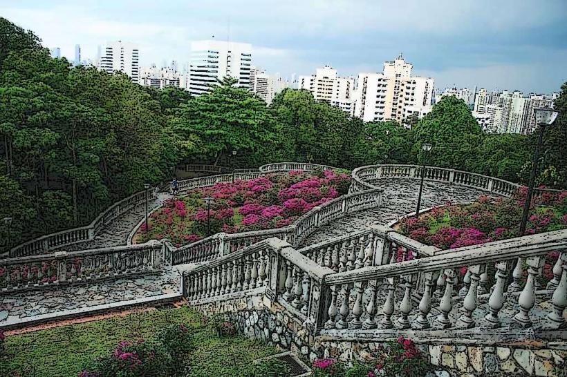
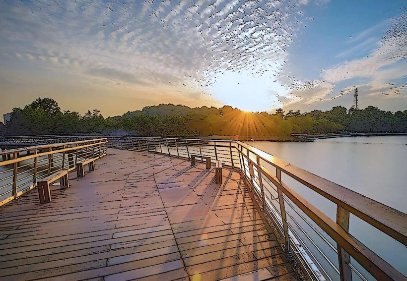
The primary visual elements are the elevated metal walkways, such as the Henderson Waves bridge, which features a unique undulating design constructed from solid timber planks and steel. The pathways traverse dense secondary rainforest, characterized by a variety of tree species including Dipterocarps and palms. Natural rock formations are visible in some sections, particularly near the base of the ridges. The color palette is dominated by the green of the foliage, the grey and brown of the metal and timber structures, and the occasional blue of the sky visible through the canopy.
Location & Access Logistics
The Southern Ridges spans from Mount Faber Park to Kent Ridge Park. Access points are numerous. From the city center (e.g., Raffles Place), take the East-West Line MRT to HarbourFront Station (CC29/NE1). From HarbourFront, the main entry point is via Mount Faber Park. Alternatively, bus services 131, 145, and 273 stop near Mount Faber. Parking is available at Mount Faber Park, HortPark, and Kent Ridge Park. For access via Telok Blangah Hill Park, bus services 120, 155, and 273 are available.
Historical & Ecological Origin
The Southern Ridges project was developed to link existing green spaces and enhance connectivity for pedestrians. The area comprises several distinct parks, each with its own history. Mount Faber was named after Captain Edward R. Faber, Superintendent of the Singapore Harbour and Docks Board, who established a signal station there in 1845. The forests are secondary growth, regenerating after periods of agricultural use and development. The ecological classification is primarily lowland tropical rainforest, supporting a diverse range of flora and fauna.
Key Highlights & Activities
Walk the Henderson Waves, Singapore's highest pedestrian bridge, for panoramic views. Explore the Forest Walk and Canopy Walk for elevated perspectives of the forest. Visit the Jewel Box at Mount Faber for dining and observation decks. Hike the Marang Trail for a more direct, steeper ascent to Mount Faber. Observe birdlife and insect species within the forest habitats. Photography of the architectural elements and natural scenery is a common activity.
Infrastructure & Amenities
Restrooms are located at Mount Faber Park, HortPark, and Kent Ridge Park. Shade is provided by the forest canopy along many trails and by shelters at rest stops. Cell phone signal (4G/5G) is generally available throughout most of the Southern Ridges. Food and beverage options are available at the Jewel Box on Mount Faber and at cafes within HortPark. Water fountains are present at key access points.
Best Time to Visit
For photography, early morning (07:00-09:00) offers softer light and fewer crowds. Late afternoon (16:00-18:00) provides warm lighting. The best months for weather are generally February to April, with lower humidity and less rainfall. The entire network is accessible year-round, with no specific tide requirements.
Facts & Legends
A local legend associated with Mount Faber suggests that if you stand at the summit and make a wish while facing the sea, it is more likely to come true. Historically, the signal station on Mount Faber was used to communicate with ships entering the harbour.
Nearby Landmarks
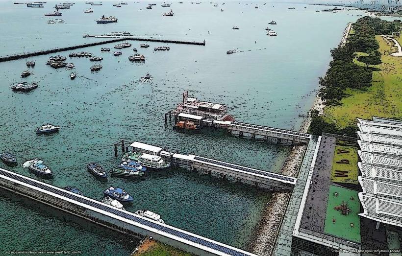
- HarbourFront Centre (0.8km Southwest)
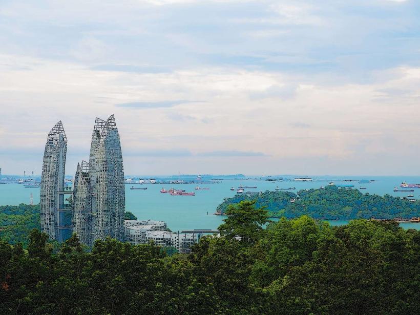
- Sentosa Island (1.5km South)
- Singapore Botanic Gardens (4.5km North)
- National Orchid Garden (4.8km North)
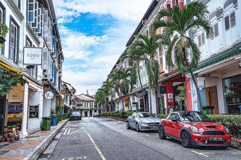
- Chinatown (3.2km Northwest)