Information
Landmark: St John’s IslandCity: Southern Region
Country: Singapore
Continent: Asia
St John’s Island, Southern Region, Singapore, Asia
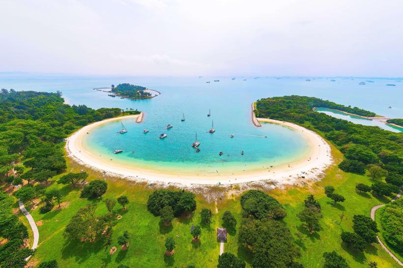
St John's Island is a tropical island located in the Southern Region of Singapore. It is a designated nature reserve and recreational area.
Visual Characteristics
The island features a coastline with sandy beaches and rocky outcrops. Inland, vegetation consists of secondary rainforest with a canopy of mature trees. The waters surrounding the island are generally clear, with visible coral reefs in shallower areas.
Location & Access Logistics
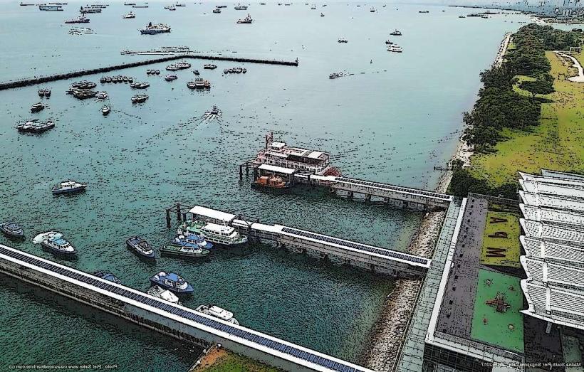
St John's Island is accessible via ferry from Marina South Pier. Ferries operate daily, with journey times of approximately 30 minutes. Parking is available at Marina South Pier. No private vehicles are permitted on St John's Island.
Historical & Ecological Origin
Historically, St John's Island served as a quarantine station and later as a penal colony. Its ecological origin is primarily sedimentary rock formations, with the island's current state shaped by natural growth and conservation efforts.
Key Highlights & Activities
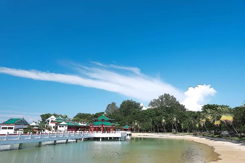
Activities include swimming at the designated beaches, snorkeling around the coral reefs, and hiking on the island's trails. Fishing is permitted in designated areas. The island also has picnic spots and barbecue pits.
Infrastructure & Amenities
Restrooms are available at the jetty and near the beaches. Shade is provided by trees and some shelters. Cell phone signal (4G/5G) is generally available across the island. There are no food vendors on the island; visitors must bring their own provisions.
Best Time to Visit
The best time for clear water visibility for snorkeling is during the drier months, typically from March to September. Mid-morning offers good lighting for photography. High tide is generally preferred for swimming and accessing certain beach areas.
Facts & Legends
A local legend suggests that St John's Island was once two islands, Pulau Sekijang Bendera and Pulau Sekijang Pelepah, which were joined by a causeway. The island was also used as a leper colony in the early 20th century.
Nearby Landmarks
- Kusu Island (0.8km Southeast)
- Sister Islands (2.5km Southwest)
- Lazarus Island (0.3km Northwest)
- Coney Island (15km North - requires separate ferry access)