Information
Landmark: Pekapeka WetlandsCity: Napier Hastings
Country: New Zealand
Continent: Australia
Pekapeka Wetlands, Napier Hastings, New Zealand, Australia
Pekapeka Wetlands is a protected ecological area located in the Hawke's Bay region of New Zealand's North Island, situated between the cities of Napier and Hastings.
Visual Characteristics
The wetlands consist of shallow, brackish water bodies interspersed with dense reed beds and emergent vegetation. Mudflats are exposed during low tide. The water color varies from murky brown to greenish depending on sediment load and algal growth. Surrounding vegetation includes native grasses, sedges, and some introduced species.
Location & Access Logistics
Pekapeka Wetlands is accessible via State Highway 2, approximately 10 kilometers south of Napier and 15 kilometers north of Hastings. Turn off SH2 onto Te Mata Road, then follow signs for Pekapeka Road. Parking is available at a designated gravel lot at the end of Pekapeka Road. No public transport directly serves the wetlands; access requires private vehicle or taxi.
Historical & Ecological Origin
The area is a natural estuarine system formed by the confluence of small streams and tidal influence from the nearby Tūtaekuri River estuary. It functions as a significant coastal wetland habitat, supporting diverse birdlife and aquatic invertebrates. Historically, it was part of a larger coastal wetland system that has been significantly reduced by land reclamation for agriculture and urban development.
Key Highlights & Activities
Birdwatching is the primary activity. Designated viewing platforms and a boardwalk provide access into the wetland. Observation of wading birds, waterfowl, and migratory species is common. Photography of avian life and wetland landscapes is also a key activity. No swimming or boating is permitted.
Infrastructure & Amenities
A gravel parking area is present. A 500-meter boardwalk with viewing platforms is constructed within the wetland. Restrooms are not available on-site. Cell phone signal (4G) is generally available. No food vendors are located at the wetlands; visitors should bring supplies.
Best Time to Visit
For birdwatching, early morning and late afternoon offer the highest activity levels. The best months for migratory birds are typically September through March. High tide can increase visibility of some waterbirds, while low tide exposes mudflats favored by waders.
Facts & Legends
Pekapeka is the Māori word for bat. While bats are not a primary feature of the wetland's current ecosystem, the name reflects historical observations or associations with the area. The wetlands are a critical stopover point for migratory birds on the East Asian-Australasian Flyway.
Nearby Landmarks
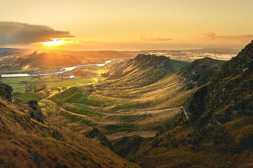
- Te Mata Peak (5km Southwest)
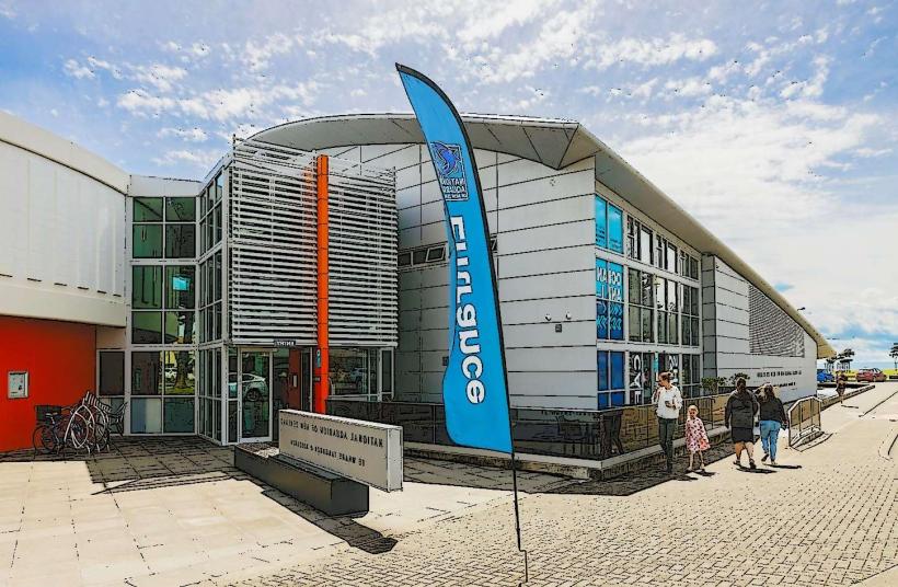
- National Aquarium of New Zealand (8km North)
- Napier City Centre (10km North)
- Hastings City Centre (15km South)
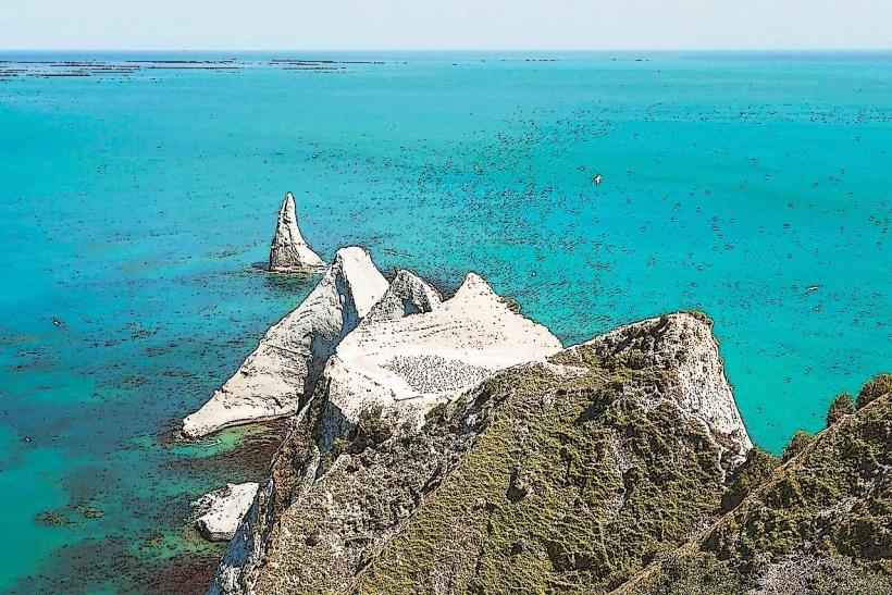
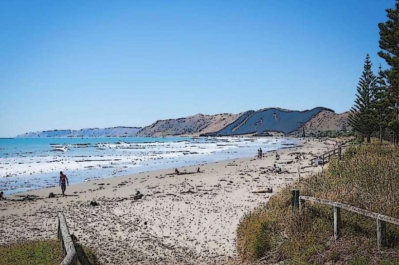
- Ocean Beach (12km Southeast)