Information
Landmark: Waimarama BeachCity: Napier Hastings
Country: New Zealand
Continent: Australia
Waimarama Beach, Napier Hastings, New Zealand, Australia
Waimarama Beach is a coastal settlement located on the east coast of the North Island of New Zealand, south of Napier and Hastings.
Visual Characteristics
The beach features a wide expanse of light-colored, coarse sand. The ocean water is typically a deep blue, with white surf breaking along the shore. Coastal vegetation, primarily low-lying grasses and shrubs, borders the sand dunes.
Location & Access Logistics
Waimarama Beach is situated approximately 25 kilometers south of Havelock North. Access is via State Highway 51, turning onto Waimarama Road. The road is paved and suitable for standard vehicles. Parking is available in designated areas adjacent to the beach, with capacity for approximately 50 vehicles. Public transport options are limited; the nearest regular bus service operates between Napier and Havelock North, requiring a taxi or private transfer for the final leg to Waimarama.
Historical & Ecological Origin
The beach is part of the Hawke's Bay coastline, formed by coastal erosion and deposition processes over millennia. The area has a history of Māori settlement, with evidence of pā sites in the surrounding hills. The beach itself is a natural accumulation of sand and shell fragments derived from offshore geological formations and terrestrial erosion.
Key Highlights & Activities
Swimming is a primary activity. Surfing conditions vary with swell direction and size. Beach fishing is possible from the shore. Walking along the coastline is permitted. Access to the Waimarama Surf Life Saving Club facilities is available during patrol hours.
Infrastructure & Amenities
Public restrooms are located near the main access point. Limited shade is available from natural dune vegetation. Cell phone signal (4G) is generally available. There are no permanent food vendors directly on the beach; the nearest amenities are in Havelock North.
Best Time to Visit
For swimming and general beach use, the months of December through February offer the warmest temperatures. Mid-morning to late afternoon provides optimal sunlight for beach activities. Surf conditions are most consistent during the winter months (June-August) but water temperatures are lower.
Facts & Legends
A notable feature is the "Waimarama Rock," a large sea stack located offshore. Local lore suggests the rock was once a Māori warrior turned to stone. The beach is also known for its strong currents, necessitating caution for swimmers.
Nearby Landmarks
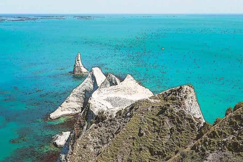
- Cape Kidnappers Gannet Colony (15km Northeast)
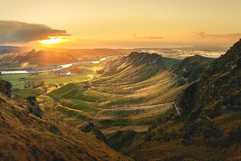
- Te Mata Peak (18km Northwest)
- Havelock North Village (20km Northwest)
- Napier City Centre (35km North)
- Hastings City Centre (30km Northwest)