Information
Landmark: Te Mata PeakCity: Napier Hastings
Country: New Zealand
Continent: Australia
Te Mata Peak, Napier Hastings, New Zealand, Australia
Te Mata Peak is a prominent geological formation located in the Hawke's Bay region of New Zealand's North Island. It is a significant natural landmark overlooking the cities of Napier and Hastings.
Visual Characteristics
Te Mata Peak is composed of ancient limestone rock, exhibiting a rugged, weathered surface. Its slopes are covered in a mix of native bush and introduced pine forests, with distinct patches of grassland. The summit reaches an elevation of 399 meters (1,309 feet) above sea level, offering panoramic views of the surrounding plains, coastline, and Pacific Ocean.
Location & Access Logistics
The peak is situated approximately 10 kilometers south of Hastings. Access is via Te Mata Road, which is a paved public road leading to the summit. The drive from Hastings city center takes approximately 15-20 minutes. Parking is available at designated areas near the summit, including a small car park at the very top. Public transport does not directly service the peak; visitors typically require private vehicles.
Historical & Ecological Origin
Te Mata Peak is an anticline, a geological fold in rock strata, formed approximately 30 million years ago. The limestone layers were uplifted and eroded over millennia. The area has ecological significance, supporting a variety of native flora and fauna adapted to the limestone environment. Historically, the peak was a significant landmark for Māori iwi, with evidence of early human presence in the region.
Key Highlights & Activities
Activities include hiking and cycling on marked trails. The main summit track is suitable for walking and cycling. Observation decks at the summit provide unobstructed views. Paragliding and hang gliding are permitted from designated launch sites, weather permitting. Birdwatching is also a common activity.
Infrastructure & Amenities
Restrooms are available at the summit car park. Limited shade is provided by scattered trees and the observation shelter. Cell phone signal (4G) is generally available at the summit. There are no food vendors on the peak itself; visitors should bring their own provisions. Cafes and restaurants are located in nearby Havelock North and Hastings.
Best Time to Visit
For photography, early morning or late afternoon light offers optimal conditions for illuminating the landscape. The best months for visiting are generally from September to April, offering milder weather. Wind conditions can be a factor for activities like paragliding; check local forecasts.
Facts & Legends
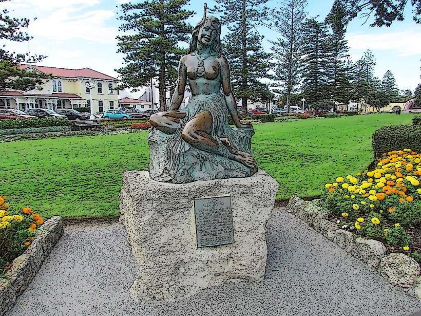
Local Māori legend tells of the giant Mata, who fell in love with a woman from a rival tribe. He attempted to carve a path through the hills to reach her, creating the gorge known as the 'Havelock North Gap'. Exhausted, he lay down and died, his body forming the shape of the peak. A specific tip for visitors is to be aware of the strong winds that can occur at the summit, even on calm days in the valleys.
Nearby Landmarks
- Havelock North Village (2km Northwest)
- Black Barn Vineyards (3km West)
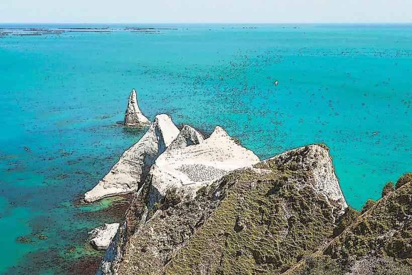
- Cape Kidnappers Gannet Colony (15km East - requires separate travel)
- National Aquarium of New Zealand (Napier) (12km North)
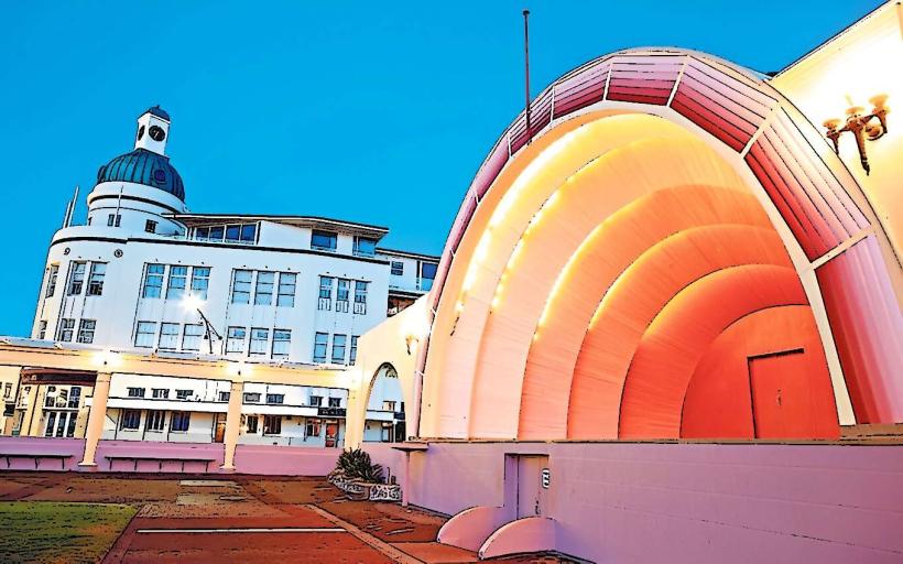
- Art Deco Buildings (Napier) (12km North)