Information
Landmark: Pikes PeakCity: Colorado Springs
Country: USA Colorado
Continent: North America
Pikes Peak, Colorado Springs, USA Colorado, North America
Pikes Peak is a prominent mountain summit located in the Front Range of the Rocky Mountains, west of Colorado Springs, Colorado.
It is the easternmost fourteener in North America, reaching an elevation of 14,115 feet (4,302 meters) above sea level.
Visual Characteristics
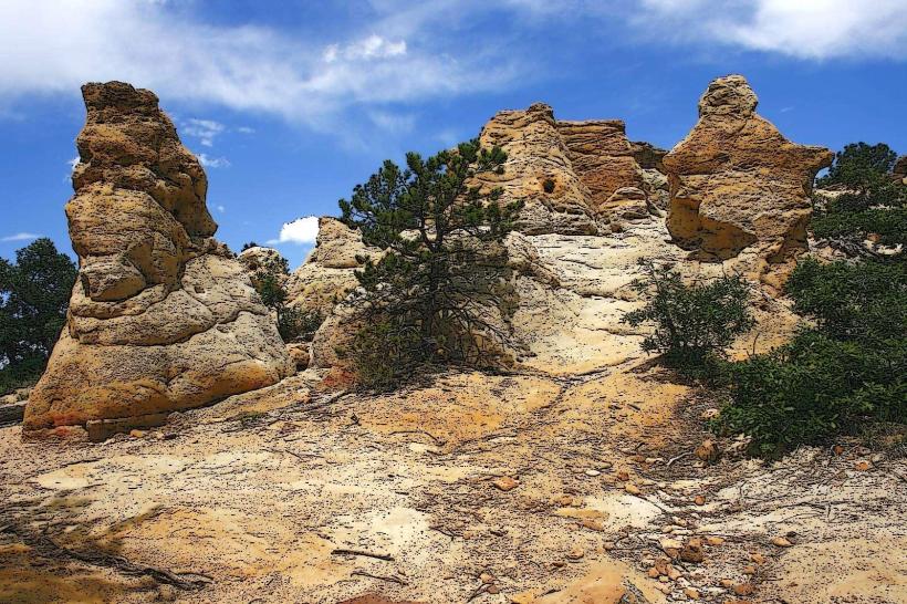
The mountain's summit is characterized by a barren, rocky landscape above the tree line. Exposed granite formations are visible, particularly near the summit. The slopes below the tree line are covered in dense coniferous forest, primarily Engelmann spruce, subalpine fir, and limber pine. Snow cover is common on the upper slopes from September through June, depending on the year. The summit area features a paved observation area and a visitor center.
Location & Access Logistics
Pikes Peak is situated approximately 12 miles west of Colorado Springs. Access is primarily via Pikes Peak Highway, a paved toll road that begins at the intersection of Highway 67 and US-24 in Cascade, Colorado. The highway is approximately 19 miles long from the base to the summit. Parking is available at the summit visitor center, with capacity for approximately 100 vehicles. The Broadmoor Manitou and Pikes Peak Cog Railway, a scenic cogwheel train, also ascends to the summit from Manitou Springs, located 5 miles northwest of Colorado Springs. The train station is at 9000 Old Pikes Peak Rd, Manitou Springs, CO 80829.
Historical & Ecological Origin
Pikes Peak is a granite intrusion that was uplifted and eroded over millions of years. Its current form is largely a result of Pleistocene glaciation. The mountain was named in honor of American explorer Zebulon Pike, who sighted it in 1806. The Pikes Peak Gold Rush of 1859, spurred by discoveries in the surrounding Pikes Peak region, led to increased exploration and settlement. The summit was first reached by a wagon road in 1888, and the Cog Railway began operation in 1891.
Key Highlights & Activities
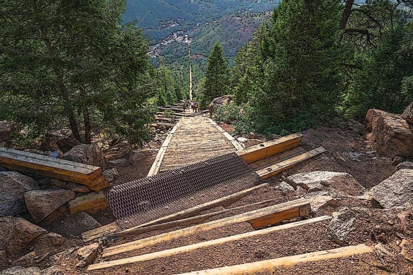
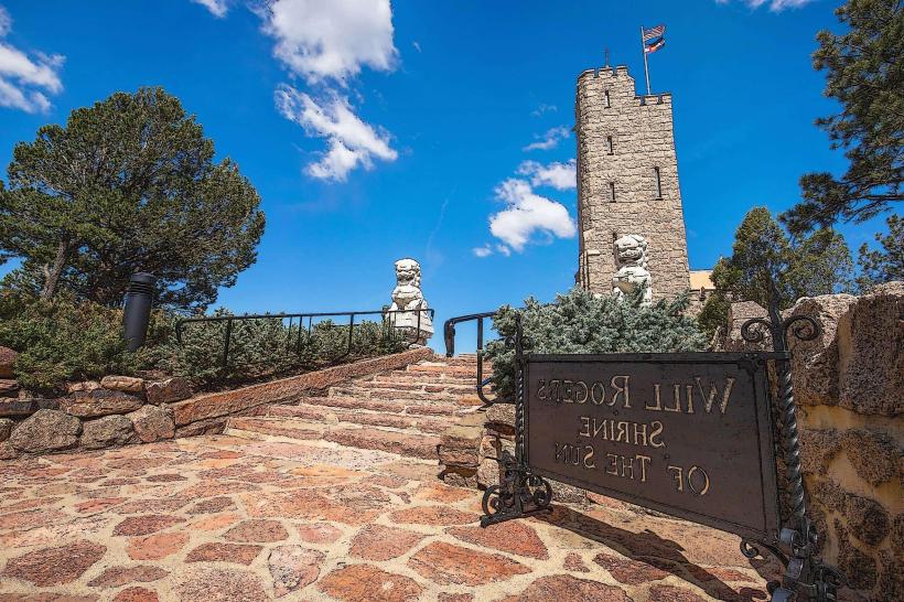
Visitors can drive or take the Cog Railway to the summit. At the summit, the Pikes Peak Summit Visitor Center offers exhibits and panoramic views. Hiking is possible on designated trails, such as the Barr Trail, which is a strenuous 13-mile hike to the summit. The Pikes Peak International Hill Climb, an annual automobile and motorcycle race, takes place on the Pikes Peak Highway. Photography is a popular activity, especially during sunrise and sunset.
Infrastructure & Amenities
The Pikes Peak Summit Visitor Center provides restrooms, a gift shop, and food services. There are designated picnic areas along Pikes Peak Highway. Cell phone signal is generally available at the summit and along the highway, with 4G/5G coverage varying by carrier. Limited shade is available at the summit itself, but forested areas lower on the mountain offer shade.
Best Time to Visit
For photography, early morning (sunrise) and late afternoon (sunset) offer optimal lighting conditions. The best months for weather are typically July through September, offering the clearest skies and warmest temperatures. From October through May, snow and ice can impact road conditions and trail accessibility. High tide is not applicable to this mountain summit. The Cog Railway operates year-round, weather permitting.
Facts & Legends
The phrase "Pikes Peak or Bust!" became a rallying cry during the 1859 Gold Rush, reflecting the hope of striking it rich. A unique local tip is to be aware of the altitude sickness symptoms, which can affect individuals even if they are in good physical condition. Staying hydrated and ascending gradually can mitigate these effects.
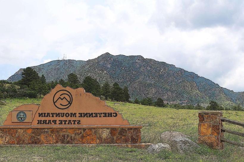
Nearby Landmarks
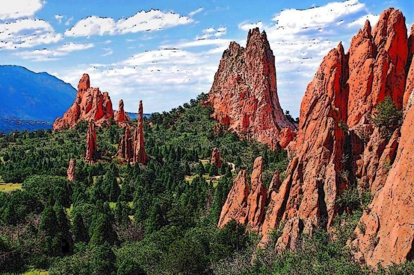
- Garden of the Gods Park (8km Northeast)
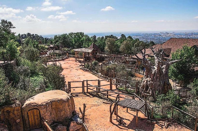
- Cheyenne Mountain Zoo (10km Southeast)
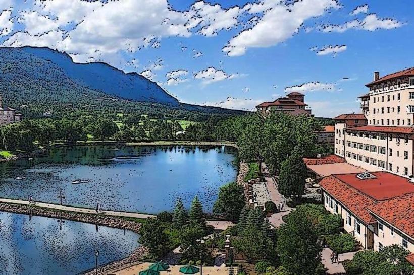
- The Broadmoor (12km East)
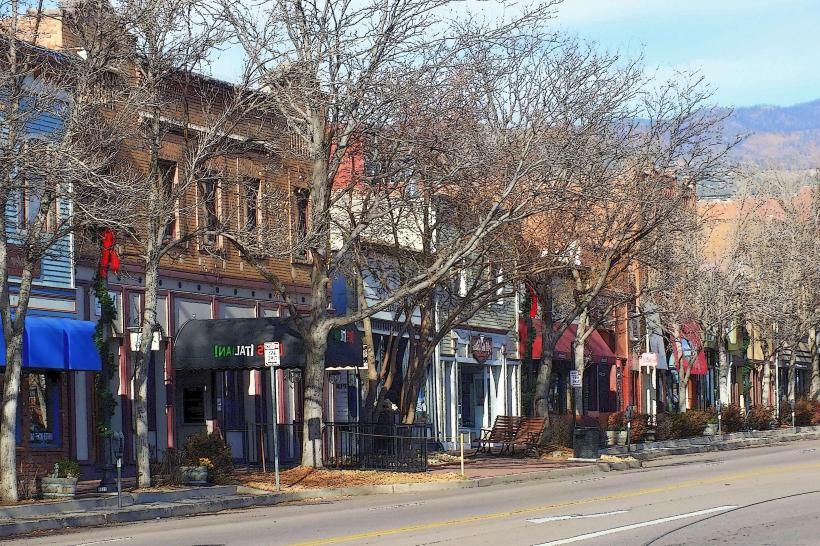
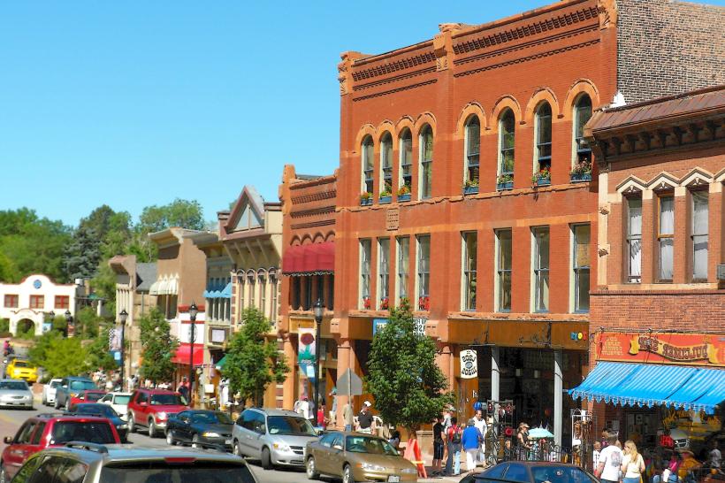
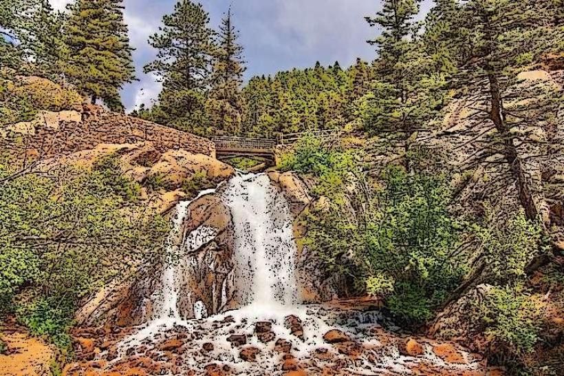
- Manitou Springs (5km Northwest)
- Red Rock Canyon Open Space (7km Southwest)