Information
Landmark: Pinder's PointCity: Freeport
Country: Bahamas
Continent: North America
Pinder's Point, Freeport, Bahamas, North America
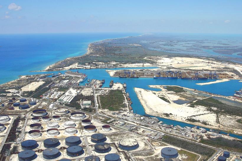
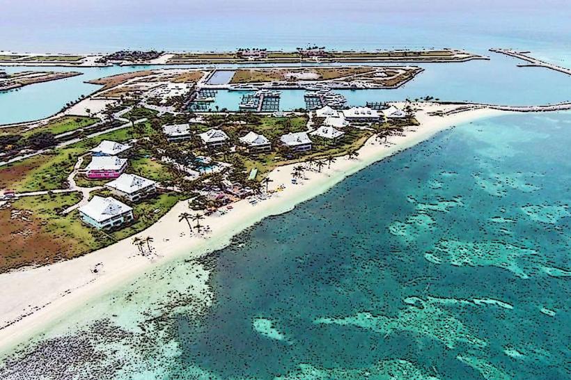
Pinder's Point is a coastal promontory located on the western edge of Grand Bahama Island, near Freeport, Bahamas.
This location serves as a significant point of interest due to its geological features and proximity to industrial facilities.
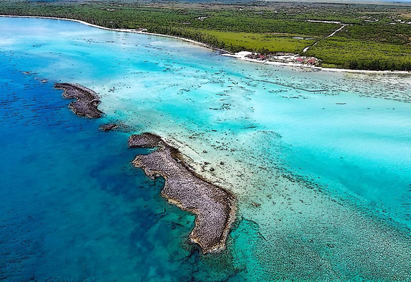
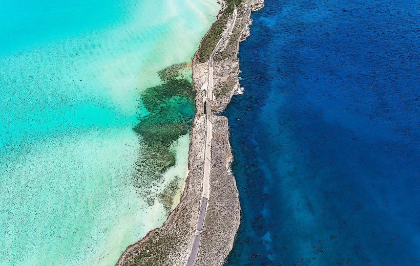
Visual Characteristics
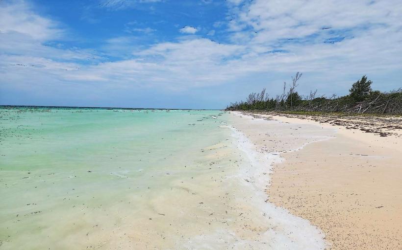
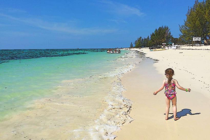
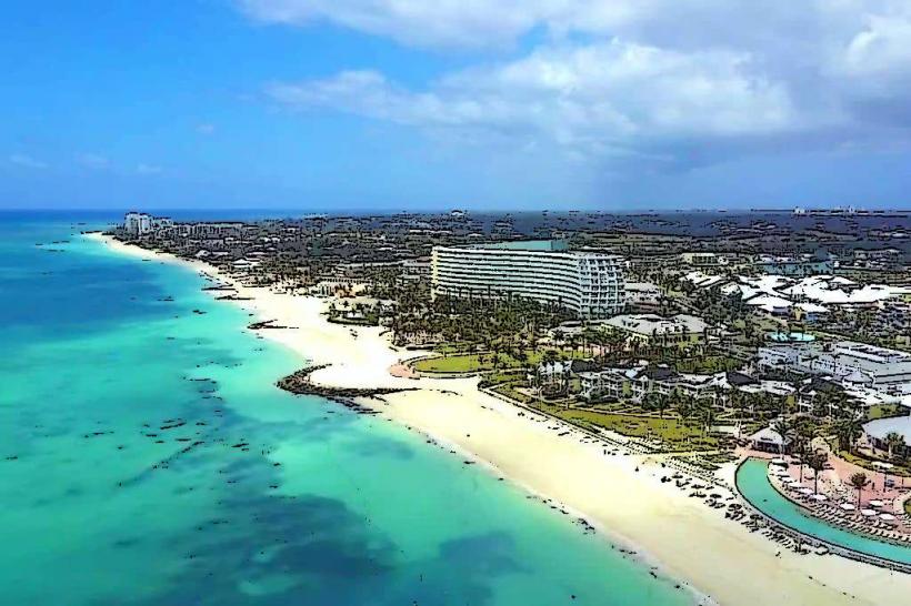
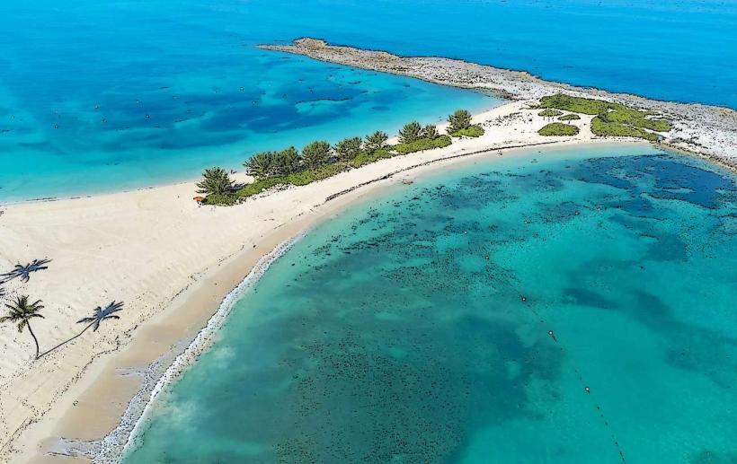
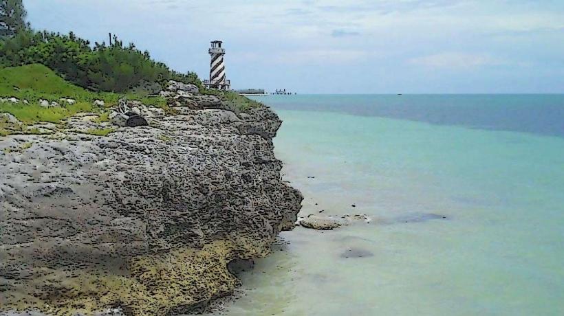
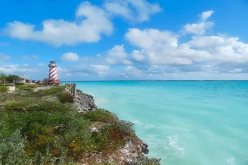
The area is characterized by exposed limestone rock formations, varying in height from sea level to approximately 5 meters. The coastline features a mix of rocky outcrops and small, sandy inlets. The water color is typically a deep blue, transitioning to turquoise closer to shore. Vegetation is sparse, consisting mainly of low-lying scrub and salt-tolerant grasses.
Location & Access Logistics
Pinder's Point is situated approximately 15 kilometers west of downtown Freeport. Access is via Queens Highway, turning south onto Pinder's Point Road. The road is paved for most of its length, becoming unpaved for the final kilometer. Parking is available in an informal gravel lot near the point. Public transport options are limited; taxi services from Freeport are the most reliable method of access.
Historical & Ecological Origin
The geological origin of Pinder's Point is primarily karst topography, formed by the dissolution of soluble limestone bedrock over millennia. The area has been historically significant as a navigational point and, more recently, due to its proximity to the Grand Bahama Oil Refinery and associated industrial infrastructure.
Key Highlights & Activities
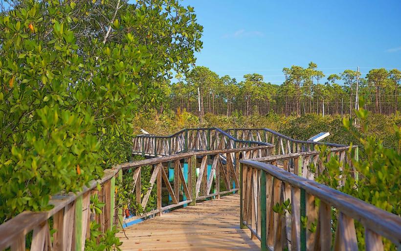
Observation of the industrial landscape and the surrounding marine environment is the primary activity. The rocky shoreline allows for exploration at low tide. Birdwatching is possible, with various coastal species present.
Infrastructure & Amenities
There are no formal amenities at Pinder's Point. Restrooms, shade structures, and food vendors are not present. Cell phone signal (4G/5G) is generally available but can be intermittent closer to the industrial facilities.
Best Time to Visit
For photography, the late afternoon offers angled sunlight on the rock formations. The dry season, from December to May, provides the most stable weather conditions. Tidal conditions do not significantly impact access or observation.
Facts & Legends
A local anecdote suggests that during certain atmospheric conditions, the sound of machinery from the nearby refinery can carry for considerable distances, leading to speculation about its origin.
Nearby Landmarks
- Grand Bahama Oil Refinery (0.2km East)
- Old Bahama Bay Resort & Marina (3.5km West)
- Lucayan National Park (12km Southeast)
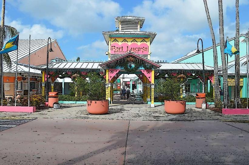
- Port Lucaya Marketplace (15km East)