Information
Landmark: Red River ValleyCity: Wahpeton
Country: USA North Dakota
Continent: North America
Red River Valley, Wahpeton, USA North Dakota, North America
The Red River Valley stretches along the eastern edge of North Dakota, following the course of the Red River of the North as it flows north into Canada. This expansive valley is one of the most fertile agricultural regions in the United States, shaped by glacial history and river sediment, and has played a central role in the state’s economy, culture, and settlement patterns.
Geography and Landscape
The valley is remarkably flat, a result of its formation as the bed of glacial Lake Agassiz over 10,000 years ago. Rich, dark soils, known locally as “Red River clay”, dominate the landscape, creating ideal conditions for crop cultivation. The horizon stretches nearly uninterrupted, punctuated only by occasional groves of trees, farmsteads, and small towns. Seasonal changes dramatically alter the scenery: green and gold expanses of wheat and sugar beets in summer, orange and brown foliage in fall, and snow-covered fields in winter.
Agricultural Significance
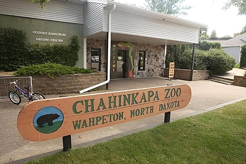
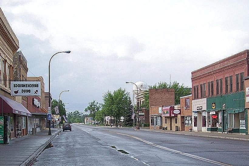
The Red River Valley is a global breadbasket. It produces wheat, sugar beets, soybeans, and corn, supporting both local economies and international trade. Its flat terrain allows for extensive mechanized farming, while the nutrient-rich alluvial soil ensures high yields. Small towns along the valley, such as Fargo, Grand Forks, Wahpeton, and Hillsboro, serve as service centers for the surrounding farms and contribute to the region’s cultural identity.
Hydrology and Environmental Features
The Red River is slow-moving and prone to spring flooding, which has historically shaped settlement patterns and necessitated extensive flood control measures, including dikes and diversion channels. Wetlands, small lakes, and riparian areas within the valley support a variety of wildlife, including migratory birds, waterfowl, and native fish species. These natural habitats contrast with the vast agricultural fields, providing pockets of biodiversity.
Cultural and Historical Context
The valley has been inhabited for centuries by Native American tribes, primarily the Mandan, Hidatsa, and Sioux, before European settlers arrived in the 19th century. Towns grew around river crossings, railroads, and agricultural hubs, fostering a rich cultural tapestry that includes historic downtown districts, museums, and community festivals celebrating local heritage. The Red River Valley is also known for its strong sense of community, resilient spirit, and connection to the land.
Visitor Experience and Atmosphere
Driving or cycling through the Red River Valley offers a sense of openness and scale rare in the U.S. The endless horizons, wide skies, and seasonal colors create a peaceful and contemplative environment. Local attractions include small-town historical sites, farmers’ markets, wildlife refuges, and scenic riverfronts, allowing visitors to engage with both human history and natural landscapes.
Legacy
The Red River Valley is central to North Dakota’s identity, embodying the interplay between natural abundance, human settlement, and agricultural enterprise. Its fertile soils, open landscapes, and enduring communities make it both an economic powerhouse and a symbol of the northern plains’ resilience, continuity, and quiet beauty.