Information
Landmark: Relief Map of GuatemalaCity: Guatemala City
Country: Guatemala
Continent: North America
Relief Map of Guatemala, Guatemala City, Guatemala, North America
The Relief Map of Guatemala is a large-scale topographical model located in Guatemala City, Guatemala. It depicts the country's varied terrain and geographical features.
Visual Characteristics
The map is constructed from concrete and painted to represent different elevations and landforms. It features detailed representations of mountains, valleys, rivers, and coastlines. The scale is approximately 1:10,000 for horizontal distances and 1:5,000 for vertical elevation, resulting in an exaggerated vertical profile.
Location & Access Logistics
The map is situated within the Parque de la Industria, located at Avenida Reforma 17-45, Zona 9, Guatemala City. It is approximately 3 kilometers south of the city center. Access is via Avenida Reforma. Parking is available within the Parque de la Industria grounds. Public transport options include various local bus routes that service Zona 9.
Historical & Ecological Origin
The Relief Map of Guatemala was constructed in 1957 by the Instituto Geográfico Nacional (IGN). Its original purpose was to serve as an educational tool and a visual aid for understanding the country's geography and for planning infrastructure projects.
Key Highlights & Activities
Visitors can walk around the perimeter of the map to observe the detailed topography. The map allows for a comprehensive overview of Guatemala's diverse geographical regions, from the highlands to the Pacific coast and the Petén lowlands. Educational interpretation is available through on-site signage.
Infrastructure & Amenities
Restrooms are available within the Parque de la Industria. Shade is limited, primarily provided by surrounding trees. Cell phone signal (4G/5G) is generally good in this area of Guatemala City. Food vendors are often present within the park, especially during events.
Best Time to Visit
The best time of day for viewing is during daylight hours. Mid-morning or late afternoon offers softer lighting for observing the map's details. The dry season, from November to April, provides the most pleasant weather conditions for outdoor exploration.
Facts & Legends
A notable detail is the exaggerated vertical scale, which emphasizes the steepness of Guatemala's mountain ranges and volcanic activity. This distortion is intentional to highlight the challenges and opportunities presented by the country's topography.
Nearby Landmarks
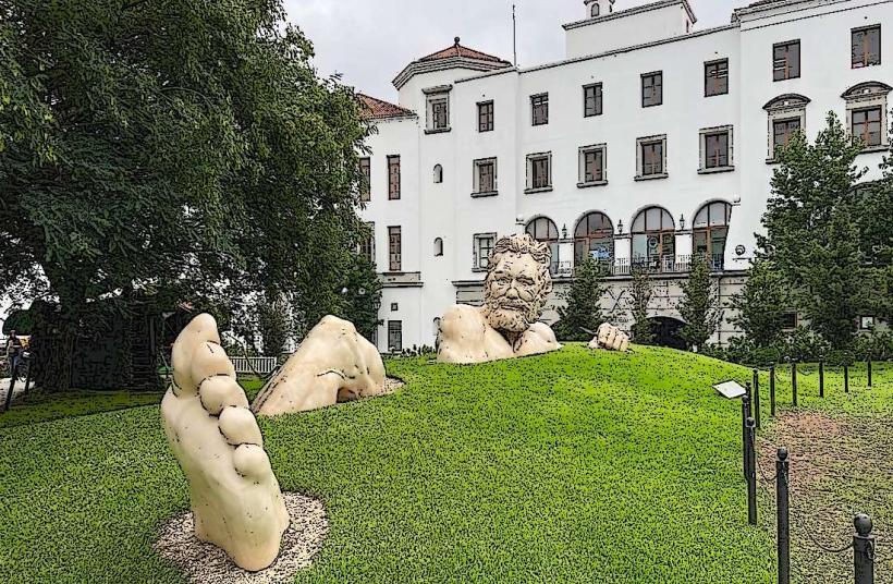
- Parque Aurora (0.8km Northwest)
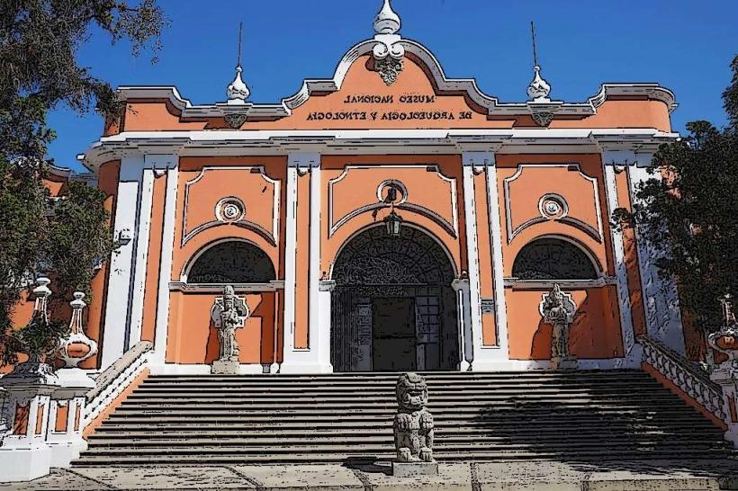
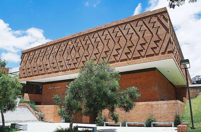
- Museo Nacional de Arqueología y Etnología (1.2km West)
- La Aurora International Airport (2.5km Southwest)
- Centro Histórico (3.0km North)