Information
Landmark: Ribeira DistrictCity: Porto
Country: Portugal
Continent: Europe
Ribeira District, Porto, Portugal, Europe
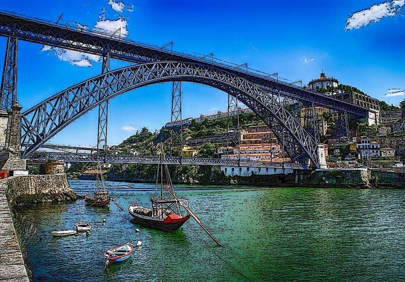
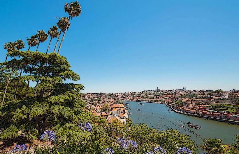
Ribeira is the historic riverfront district of Porto, Portugal, located along the northern bank of the Douro River. It is a UNESCO World Heritage site and represents the city's most iconic urban landscape.
Visual Characteristics
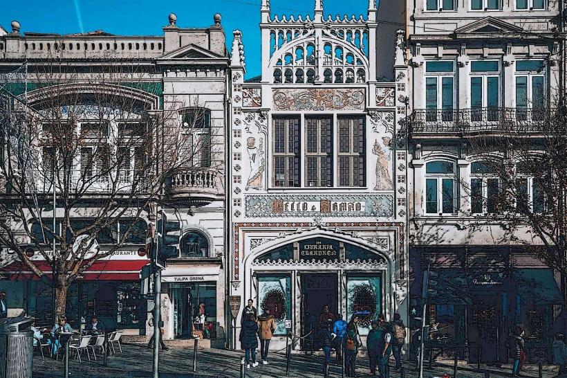
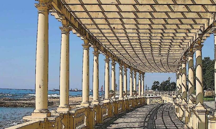
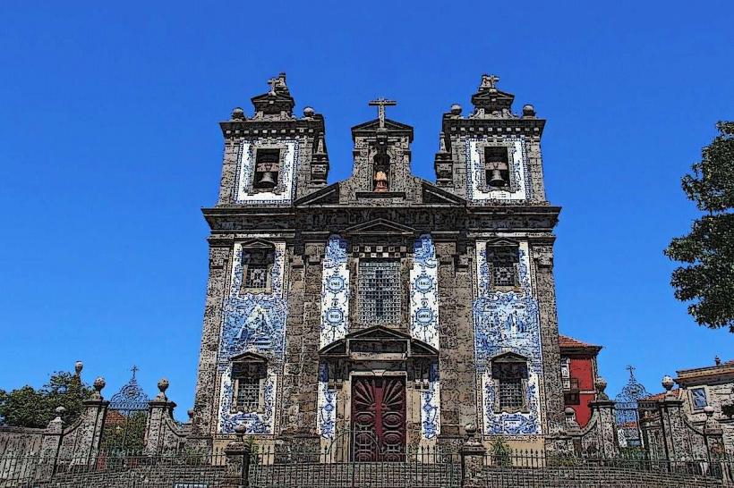
The district is characterized by a high-density verticality of ancient, narrow buildings. Facades are typically finished in granite and decorated with vibrant azulejos (tiles) or painted in earth tones (ochre, red, and yellow). Many structures feature wrought-iron balconies and traditional red-tiled roofs. The area is defined by a labyrinth of steep, medieval alleys (ruas) and shaded archways (arcos).
Location & Access Logistics
Ribeira is situated in the Cedofeita, Santo Ildefonso, Sé, Miragaia, São Nicolau e Vitória parish union.
Public Transport: Accessible via the São Bento Metro and Train station (0.5km uphill). The Funicular dos Guindais connects the riverside to the higher Batalha district.
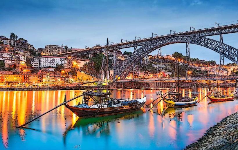
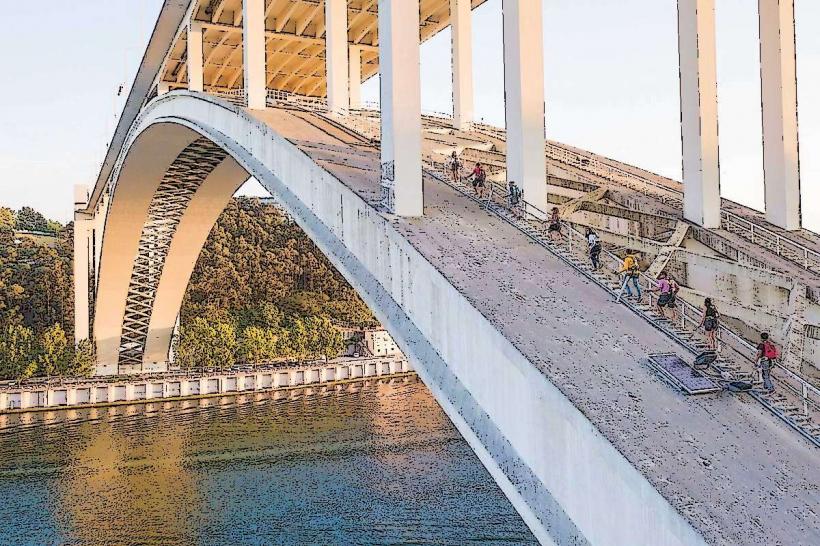
Lower Deck Bridge: The Dom Luís I Bridge provides direct pedestrian and vehicle access to Vila Nova de Gaia.
Vehicle Access: Highly restricted. The area is largely pedestrianized; taxi and delivery access is limited to specific time windows and designated points like Praça da Ribeira.
Access: Navigation involves steep gradients and uneven granite cobblestones. Wheelchair accessibility is restricted to the main riverside promenade (Cais da Ribeira).
Historical & Ecological Origin
Ribeira was the center of Porto’s maritime trade during the Middle Ages and the Age of Discovery. It functioned as the city's commercial soul, where goods from the Douro valley and overseas were unloaded. Ecologically, the district is shaped by its relationship with the Douro River; the area has a high historical frequency of flooding, though modern dam systems upriver have mitigated the severity of these events.
Key Highlights & Activities
Praça da Ribeira: The district’s central square, featuring a monumental 18th-century fountain and a modern sculpture of John the Baptist by João Cutileiro.
Cais da Ribeira: The riverside promenade lined with high-capacity restaurants, cafes, and street performers.
Rabelo Boats: Traditional wooden cargo boats, formerly used to transport Port wine, are moored along the quay and used for river cruises.
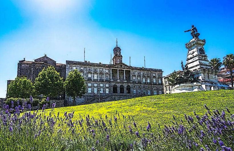
Palácio da Bolsa: The 19th-century Stock Exchange Palace, located just above the waterfront, known for its high-fidelity Arabian Room.
House of the Prince (Casa do Infante): Traditionally believed to be the birthplace of Prince Henry the Navigator.
Infrastructure & Amenities
The district is a high-density hospitality zone. Public restrooms are available near the Dom Luís I Bridge and within the major museums. 5G cellular coverage is excellent along the riverfront, though signal strength can diminish within the deep stone corridors of the interior alleys.
Best Time to Visit
Daytime (09:00–18:00): Optimal for visiting historical sites and taking river cruises.
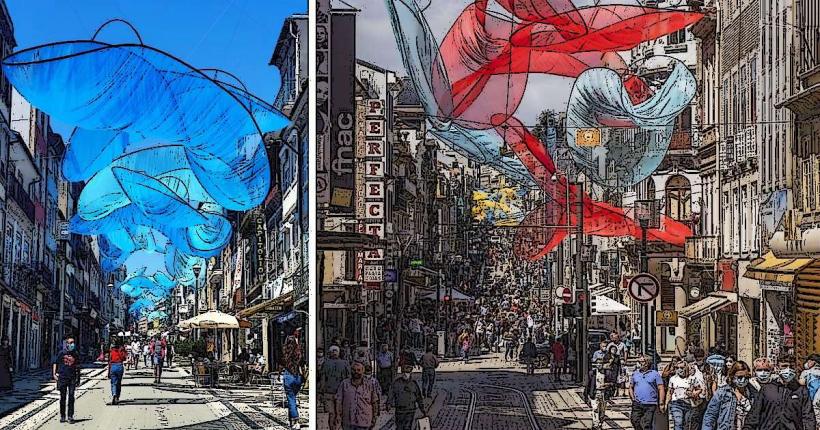
Evening (19:00–23:00): Maximum human density due to the concentration of dining establishments.
Saint John’s Festival (June 23-24): The district reaches peak capacity as the epicenter of Porto's largest annual celebration, featuring massive fireworks displays over the river.
Facts & Legends
A verified historical fact is that Ribeira’s buildings were constructed directly onto the granite slopes, with some cellars extending deep into the rock. A local legend concerns the "Alminhas da Ponte", a small bronze relief at the base of the bridge that commemorates the victims of the 1809 Ponte das Barcas disaster, where thousands perished during a French invasion; locals still place candles and flowers there daily.
Nearby Landmarks
Dom Luís I Bridge: Immediately East.
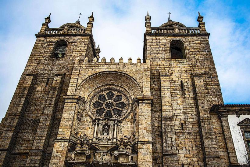
Porto Cathedral (Sé): 0.4km Northeast (uphill).
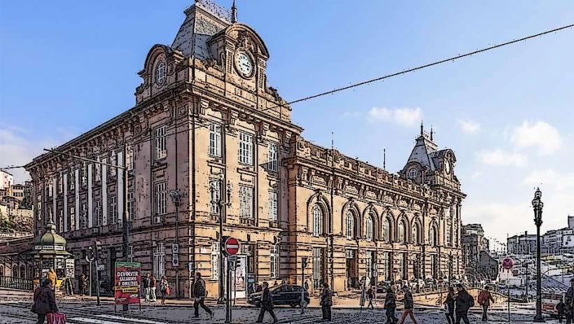
São Bento Station: 0.5km North.
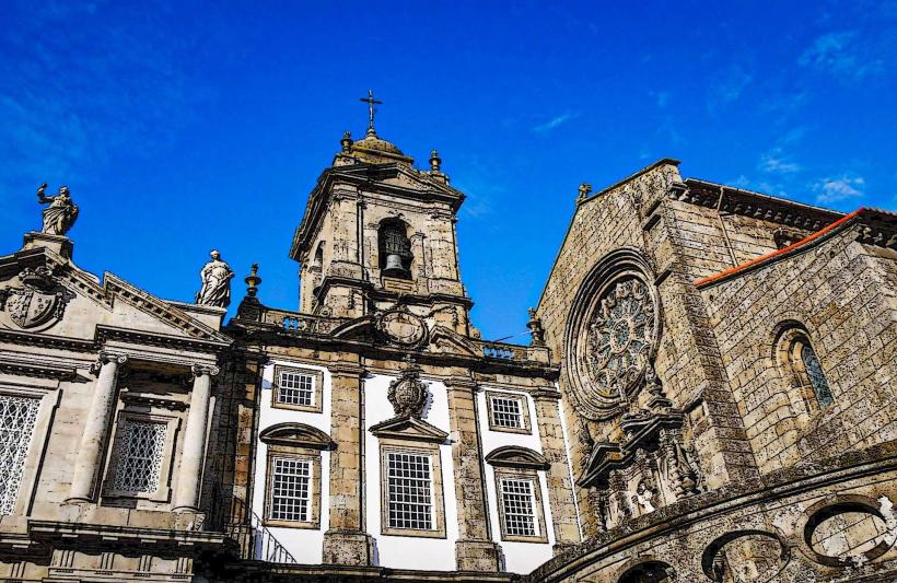
Church of São Francisco: 0.2km West.
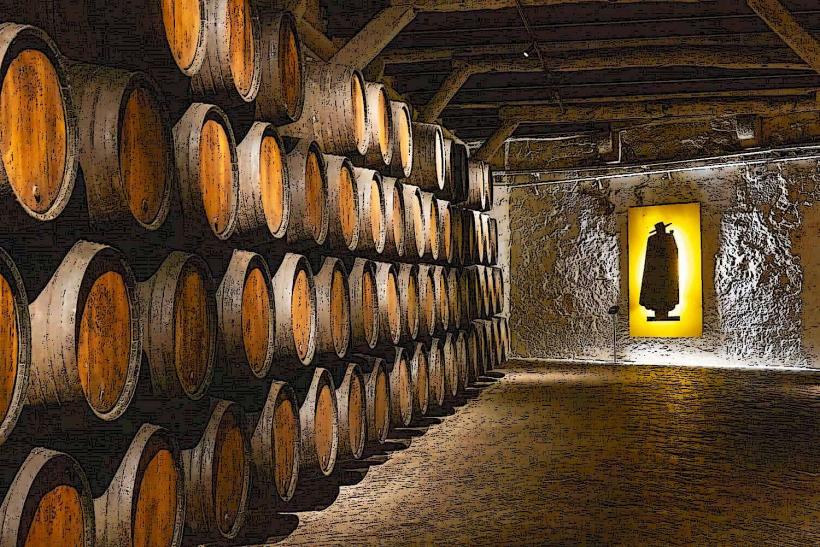
Vila Nova de Gaia (Port Wine Cellars): Directly across the river.