Information
Landmark: Riva TrogirCity: Trogir
Country: Croatia
Continent: Europe
Riva Trogir, Trogir, Croatia, Europe
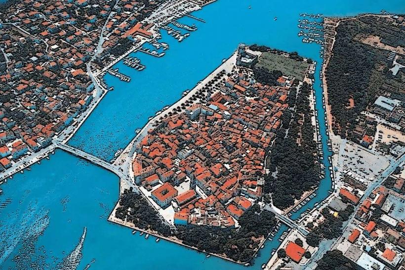
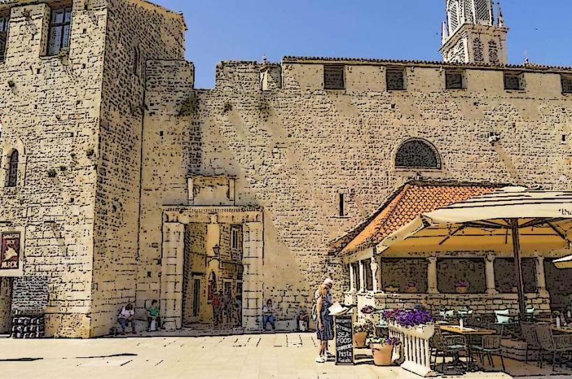
The Trogir Riva is the main waterfront promenade extending along the southern edge of the historic island of Trogir, Croatia. It serves as the city's primary social hub and maritime gateway, connecting the medieval core to the Adriatic Sea.
Visual Characteristics
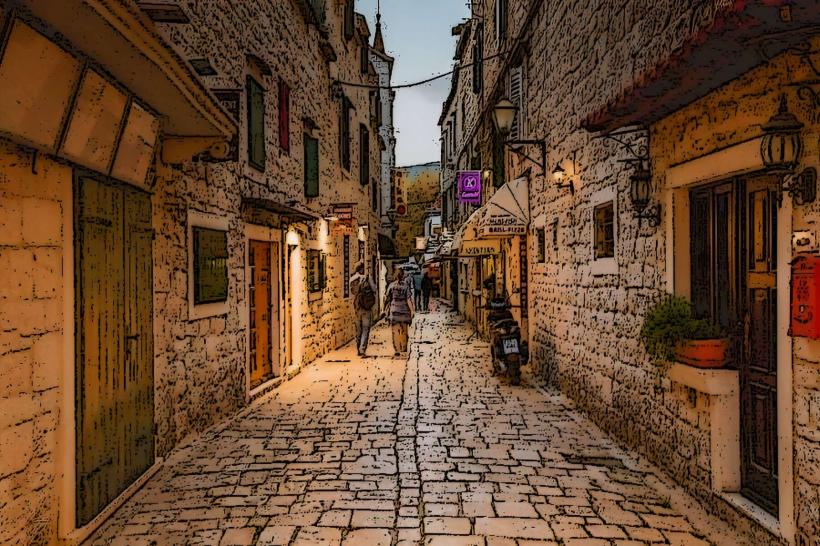
The promenade is a wide, limestone-paved pedestrian walkway lined with a row of mature palm trees. It is bordered on the north by the city's medieval stone walls and historic facades, and on the south by a deep-water stone quay where mega-yachts and sailboats dock. The ground is composed of polished white Dalmatian stone, reflecting sunlight during the day and streetlights at night.
Location & Access Logistics
The Riva is located along Obala bana Berislavića on the south side of the island.
Public Transport: Accessible via Bus Line 37 from Split or the airport; the Trogir main bus station is a 7-minute walk (500m) to the north.
Parking: No vehicles are allowed on the promenade. The nearest parking is the Trogir North mainland lot or the island of Čiovo parking, accessible via the pedestrian bridge.
Boat: Direct ferry lines from Split and Slatine dock at the eastern end of the promenade.
Historical & Ecological Origin
The current layout of the promenade took shape in the 19th century following the demolition of some southern city fortifications to improve airflow and urban sanitation. Historically, this area was the commercial heart of the city-state, where salt, stone, and agricultural goods were traded directly from ships. The palms were a later 20th-century addition to enhance the Mediterranean aesthetic.
Key Highlights & Activities
Walking is the primary activity, with the quay serving as a docking point for luxury vessels. Guided boat tours and day excursions depart from various points along the waterfront. The space functions as an open-air stage for summer festivals, Klapa (traditional a cappella) singing, and public ceremonies.
Infrastructure & Amenities
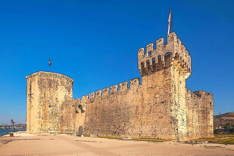
The Riva is lined with a high density of restaurants, cafes, and ice cream parlors. Public benches are positioned under the palm trees for shade. 5G cell signal is excellent throughout the area. Public restrooms are located at the western end near Kamerlengo Fortress. Most of the promenade is flat and wheelchair accessible, though some connecting alleys feature steps.
Best Time to Visit
The "Golden Hour" (one hour before sunset) is optimal for photography, as the setting sun illuminates the limestone buildings and yachts. Late evening (20:00–23:00) is the peak time for social activity and "people-watching." May and September offer Mediterranean warmth without the extreme heat or crowds of July.
Facts & Legends
The stone bollards used for mooring ships are historic artifacts, some repurposed from older fortifications. Local legend claims that the quality of the "đir" (the ritualistic slow walk up and down the Riva) can dictate the social standing of a resident; to walk too fast is to reveal a lack of character or excessive stress.
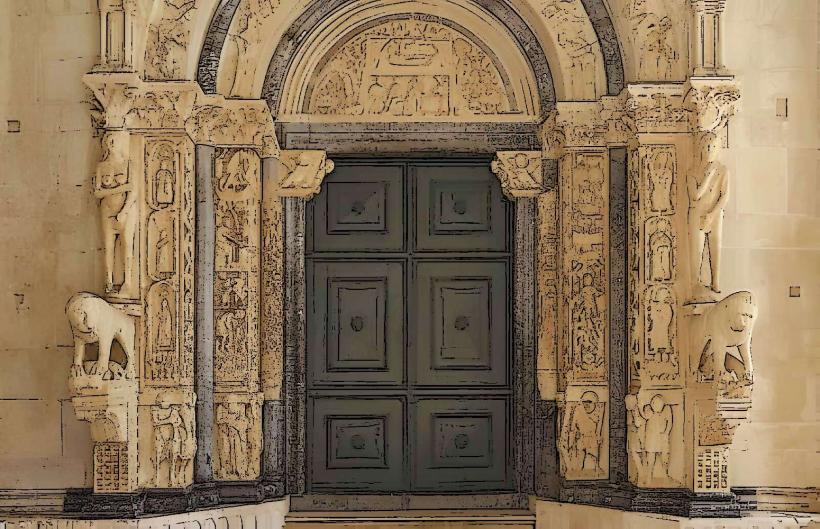
Nearby Landmarks
Kamerlengo Fortress – 0.1km West
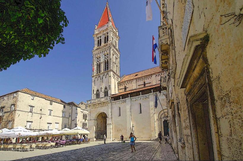
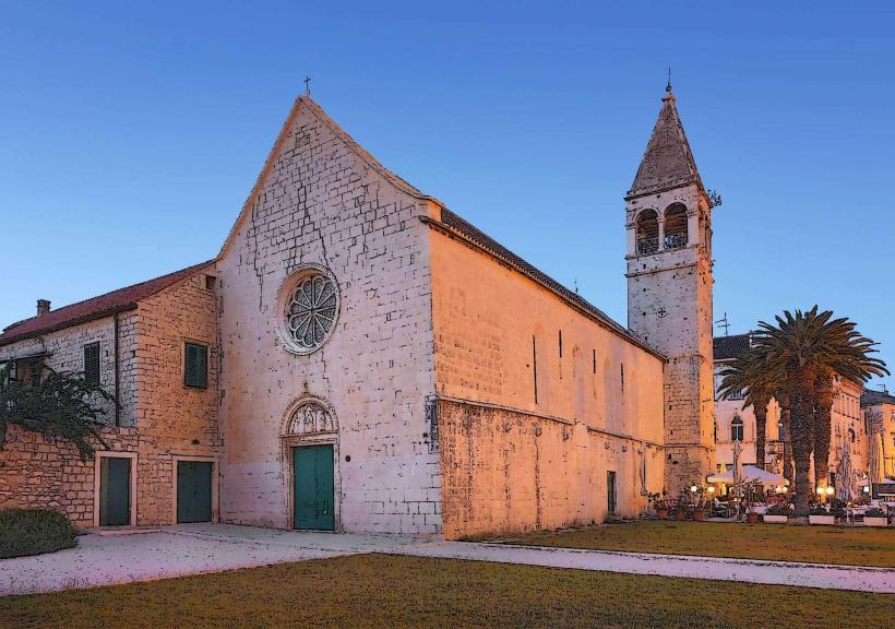
St. Dominic Church – 0.05km North
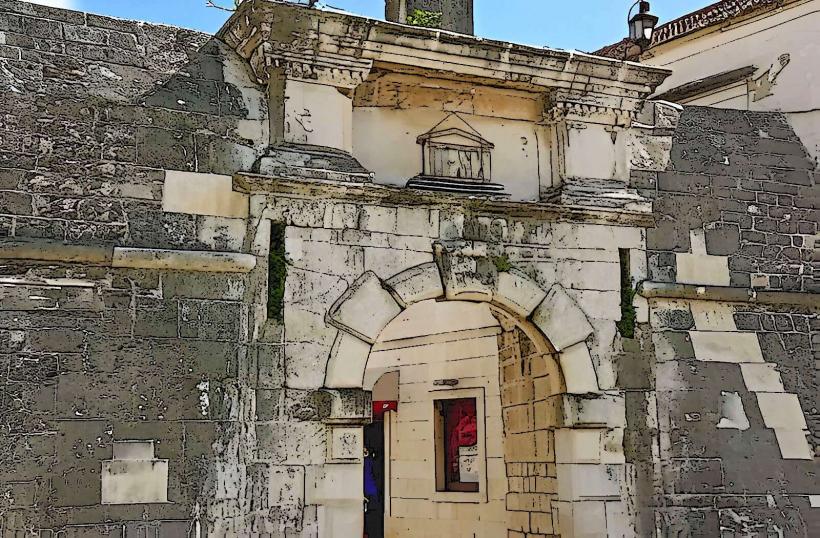
South Gate – 0.2km East
St. Nicholas Monastery – 0.25km East
Čiovo Bridge – 0.3km East