Information
Landmark: Salybia BayCity: Toco
Country: Trinidad and Tobago
Continent: North America
Salybia Bay, Toco, Trinidad and Tobago, North America
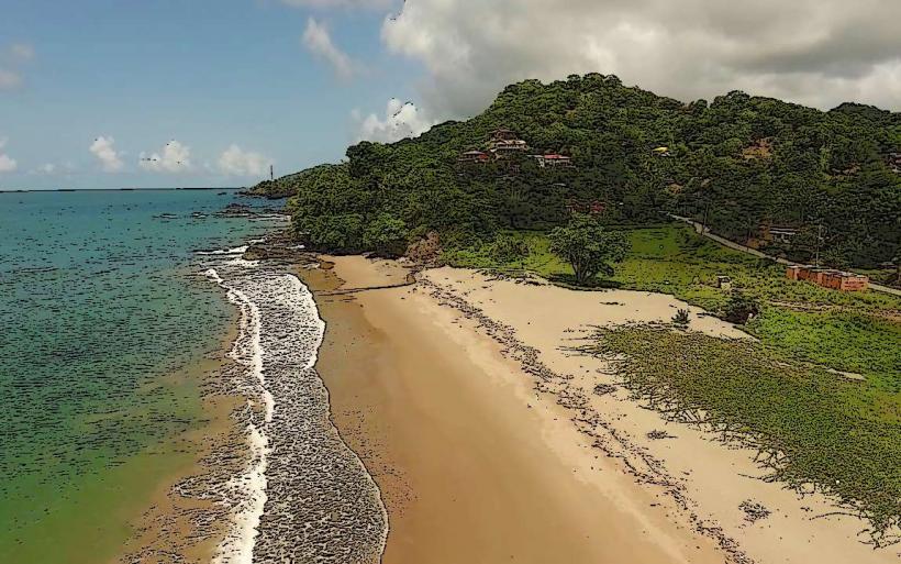
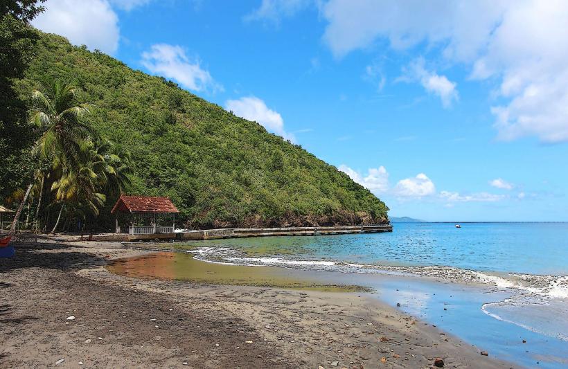
Salybia Bay is a coastal area situated on the northeastern tip of Trinidad, within the Toco district of Trinidad and Tobago.
This location is characterized by its rugged coastline and proximity to the Atlantic Ocean.
Visual Characteristics
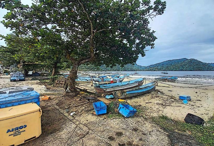
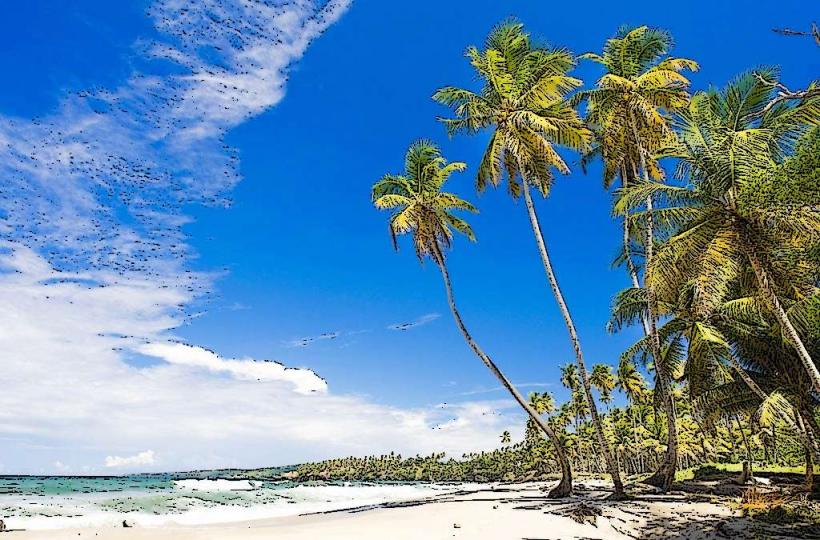
The bay features a shoreline composed of dark, coarse sand and scattered volcanic rocks. The water color varies from deep blue to greenish-grey depending on oceanic conditions. The surrounding vegetation is dense tropical rainforest, with palm trees and various broadleaf species reaching close to the water's edge. The terrain is generally sloped, with hills rising inland from the coast.
Location & Access Logistics
Salybia Bay is located approximately 45 kilometers east of Sangre Grande, the nearest major town. Access is via the Toco Main Road (TR 10), which runs along the coast. The final approach to the bay involves a dirt track, approximately 1 kilometer in length, which is passable by most vehicles in dry conditions. Parking is available on the unpaved area adjacent to the beach. Public transport to Toco is limited to maxi-taxis originating from Sangre Grande; there are no direct bus routes to Salybia Bay itself.
Historical & Ecological Origin
The geological formation of Salybia Bay is a result of coastal erosion and deposition processes acting on volcanic rock formations characteristic of northeastern Trinidad. Ecologically, it is part of the marine and coastal ecosystem of the Atlantic coast, influenced by oceanic currents and tropical weather patterns. Historically, the area has been utilized by local communities for fishing and as a point of access to the sea.
Key Highlights & Activities
Swimming is possible, though caution is advised due to strong currents. Beachcombing along the shoreline is a primary activity. Observing the marine environment from the shore is also feasible. Limited fishing occurs from the beach.
Infrastructure & Amenities
There are no formal restroom facilities or designated shade structures within Salybia Bay. Food vendors are not consistently present. Cell phone signal (4G/5G) is generally weak to non-existent in the immediate bay area.
Best Time to Visit
The best time for visiting is during the dry season, from January to May, to ensure easier access via the dirt track. Mid-morning offers moderate sunlight for beach activities. High tide can reduce the available beach area.
Facts & Legends
Local folklore suggests that the bay was once a landing point for indigenous peoples navigating the Caribbean. A specific historical oddity is the presence of large, smooth, dark stones scattered along the beach, believed to be remnants of ancient volcanic activity.
Nearby Landmarks
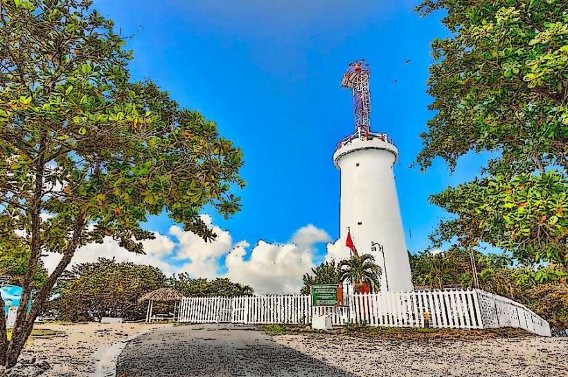
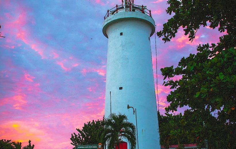
- Toco Lighthouse (2.5km Northeast)
- Grand Riviere Beach (18km West)
- Matura National Park (22km Southwest)
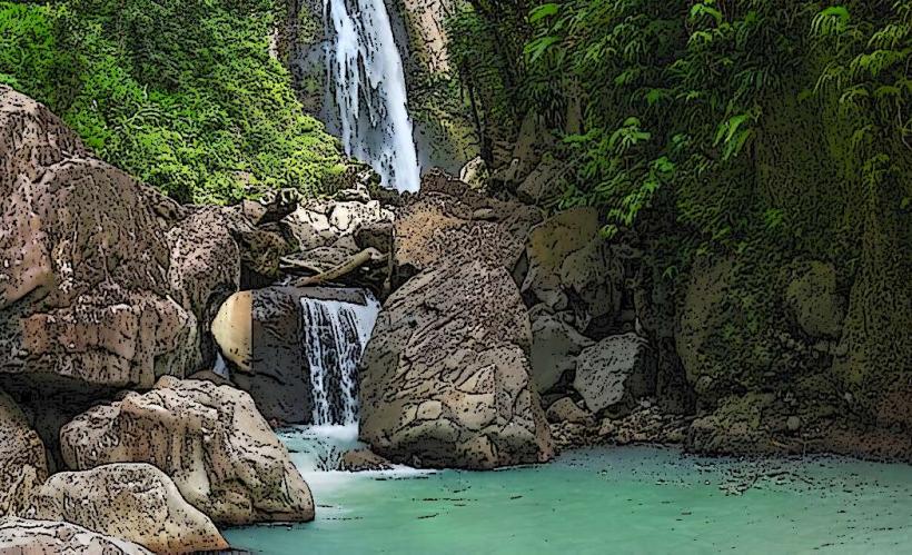
- Salibya Waterfall (3km Inland)