Information
Landmark: Shark River WaterfallCity: Toco
Country: Trinidad and Tobago
Continent: North America
Shark River Waterfall, Toco, Trinidad and Tobago, North America
Shark River Waterfall is a natural cascade located in Toco, on the northeastern coast of Trinidad.
This waterfall is characterized by its tiered rock formations over which water flows, creating multiple small pools at its base. The surrounding vegetation is dense tropical rainforest, with exposed rock faces exhibiting varying shades of grey and brown.
Location & Access Logistics
The waterfall is situated approximately 15 kilometers west of Toco village. Access requires traveling along the Toco Main Road (S1) heading west. A turn-off onto a gravel track, often marked by local signage, leads to a small parking area. From the parking area, a 15-minute walk along a cleared but uneven trail is required to reach the waterfall. Public transport to Toco village is available via bus routes from Sangre Grande, but direct access to the waterfall by public transport is not feasible.
Historical & Ecological Origin
Shark River Waterfall is a result of natural erosion processes acting upon the sedimentary rock formations of the Northern Range. The river system has carved its path over millennia, creating the stepped cascade observed today. The area is part of the island's tropical rainforest ecosystem.
Key Highlights & Activities
Visitors can observe the waterfall and its immediate surroundings. Swimming is possible in the pools at the base of the waterfall, dependent on water levels. The surrounding forest offers opportunities for nature observation.
Infrastructure & Amenities
There are no formal amenities at the waterfall site. Restrooms, food vendors, and shaded seating areas are not present. Cell phone reception is intermittent to non-existent in the immediate vicinity of the waterfall.
Best Time to Visit
The best time for photography is during the late morning when sunlight penetrates the canopy. The months between June and December, during the rainy season, generally provide higher water flow. Access can be more challenging after heavy rainfall due to muddy conditions on the trail.
Facts & Legends
Local folklore suggests that the name "Shark River" is not due to the presence of sharks, but rather a misinterpretation of an indigenous word referring to a type of local fish or a specific geological feature of the riverbed.
Nearby Landmarks
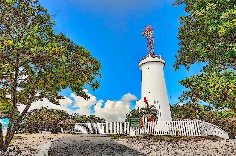
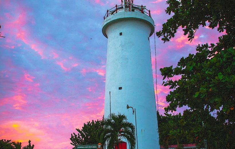
- Toco Lighthouse (15km East)
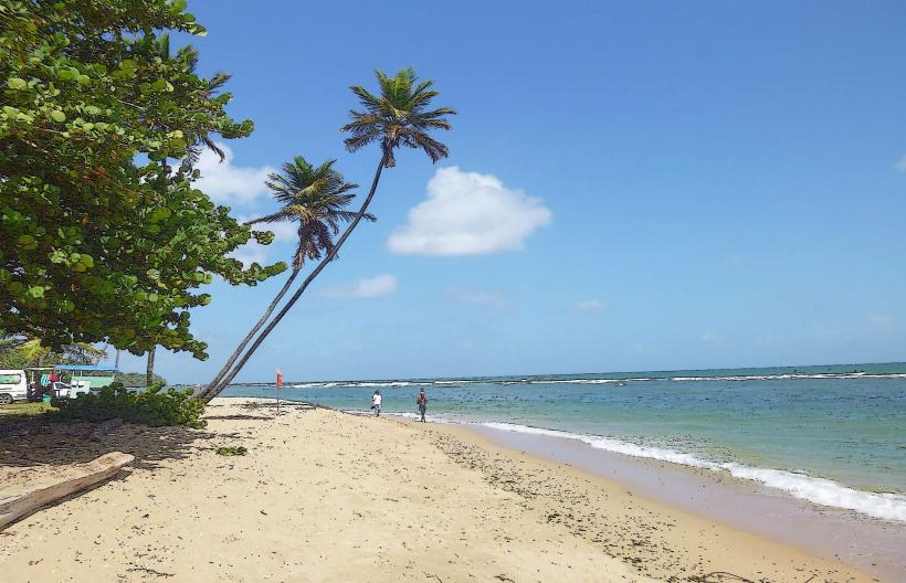
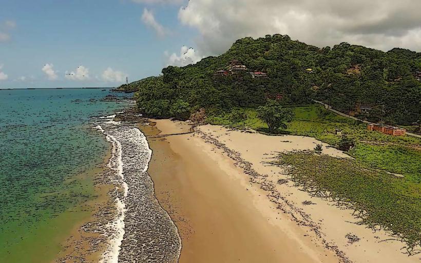
- Saline Bay (12km Southeast)
- Matura National Park (25km Southwest)