Information
Landmark: Seven Rila LakesCity: Blagoevgrad
Country: Bulgaria
Continent: Europe
Seven Rila Lakes, Blagoevgrad, Bulgaria, Europe
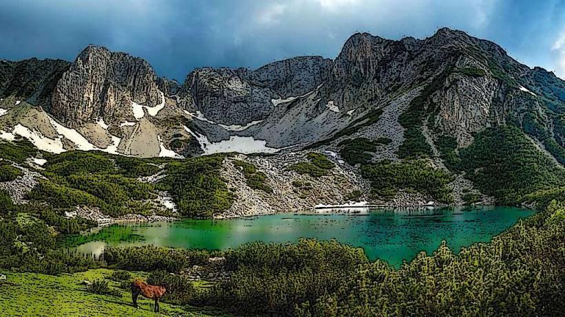
The Seven Rila Lakes is a group of glacial lakes located in the northwestern Rila Mountains at an elevation between 2,095 and 2,535 meters. They are situated within the Rila National Park in the Sapareva Banya Municipality, Kyustendil Province (bordering Blagoevgrad).
Visual Characteristics
The lakes are positioned in a stepped formation across a large glacial cirque, interconnected by small streams and waterfalls. The landscape is alpine, characterized by granite peaks, dwarf pine (Pinus mugo), and vast mountain meadows. The water is exceptionally clear, with colors ranging from deep sapphire to turquoise depending on depth and light conditions.
Location & Access Logistics
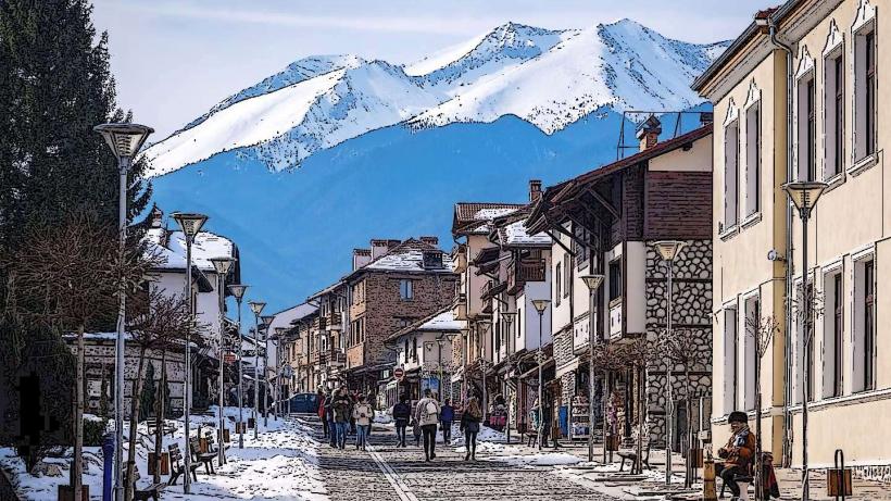
The primary access point is the town of Sapareva Banya. From there, a paved road leads to the "Pionerska" hut, where a chairlift transports visitors to the "Rilski Ezera" hut (2,100m). The lift ride takes approximately 20 minutes. Alternatively, a steep hiking trail from Pionerska takes 1.5 to 2 hours. Sofia is 90 km to the north (a 1.5-hour drive). Paid parking is available at the lift base.
Historical & Ecological Origin
The lakes were formed during the last glacial period by the erosive action of ice on the granite bedrock. Each lake is named according to its physical shape or characteristics:
The Tear (Salzata): Highest, noted for its transparency.
The Eye (Okoto): Deepest (37.5m).
The Kidney (Babreka): Noted for its distinctive shape and steep shores.
The Twin (Bliznaka): Largest by surface area.
The Trefoil (Trilistnika): Irregular shape and low shores.
The Fish Lake (Ribnoto): Shallowest; located next to the old Seven Lakes hut.
The Lower Lake (Dolnoto): Lowest, collecting water from all other lakes.
Key Highlights & Activities
The main activity is the circular hiking loop (approximately 4–5 hours) that passes all seven lakes. The "Lake Peak" (Ezerniya Vrah) offers a panoramic view of all seven lakes simultaneously. The area is also a spiritual center for the Universal White Brotherhood, who perform the Paneurhythmy dance near the Kidney Lake every August.
Infrastructure & Amenities
Infrastructure is limited to two mountain huts: "Rilski Ezera" (at the lift top) and the older "Sedemte Ezera" (by the Fish Lake). Both offer basic dormitory accommodation and food. Public restrooms are available only at the huts. 4G cellular signal is available at the huts and on ridges but fades in the deeper cirques.
Best Time to Visit
The optimal visiting window is from July to September. Snow can remain on the trails until late June. To avoid extreme weekend crowds, mid-week visits are recommended. The first chairlift usually starts at 08:30; arriving early is critical to avoid lift queues that can exceed 2 hours during peak season.
Facts & Legends
The lakes are strictly protected; swimming, fishing, or camping outside designated areas is prohibited and subject to heavy fines. Local legend claims the lakes were formed by the tears of a giantess mourning her husband. A logistical tip: weather at this altitude is volatile; hikers must carry waterproof gear and thermal layers even in August.
Nearby Landmarks
Sapareva Banya Geyser: 15.0km West (Hottest mineral spring in Europe, 103°C)
Skakavitsa Waterfall: 4.0km West (Highest in Rila)
Rila Monastery: 30.0km South (via mountain ridges/hiking trails)
Malyovitsa Peak: 10.0km East (via technical hiking trails)
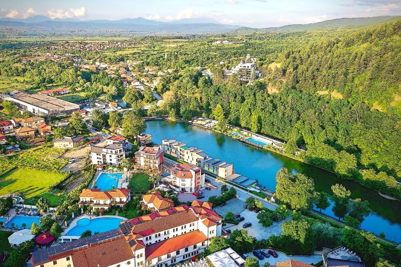
Panichishte Resort: 10.0km West (Lower mountain base)