Information
Landmark: Sigatoka Sand Dunes National ParkCity: Sigatoka
Country: Fiji
Continent: Australia
Sigatoka Sand Dunes National Park, Sigatoka, Fiji, Australia
Sigatoka Sand Dunes National Park is a protected archaeological and ecological site located at the mouth of the Sigatoka River on Viti Levu, Fiji. It is Fiji's first national park and is managed by the National Trust of Fiji.
Visual Characteristics
The park features an extensive system of parabolic sand dunes ranging from 20 to 60 meters in height. The windward slopes are characterized by bare, shifting grey-brown sand, while the leeward sides are stabilized by dense coastal vegetation, including scrub and native forest. The coastline consists of a high-energy beach with heavy surf and dark volcanic sand. Physical infrastructure is limited to a wooden visitor center and two marked hiking trails consisting of sand paths and steps.
Location & Access Logistics
The site is situated on Queens Road, approximately 5km west of Sigatoka Town and 60km south of Nadi International Airport. Access is via a marked turnoff from the main highway leading directly to the Visitor Information Center. Public buses operating the Nadi-Suva corridor stop at the park entrance upon request. A gravel parking area is available at the visitor center for private vehicles and tour buses.
Historical & Ecological Origin
The dunes began forming approximately 6,000 to 10,000 years ago from alluvial sediment deposited by the Sigatoka River and subsequently shaped by prevailing trade winds. It is a major archaeological site where Lapita pottery shards dating back over 2,600 years have been recovered, along with one of the largest ancient burial grounds in the South Pacific. The park was officially designated as a national heritage site in 1987 to protect these cultural artifacts and the unique dune ecosystem.
Key Highlights & Activities
Hiking is the primary activity, with two established circuits: a 1-hour walk and a 2-hour walk. Both trails lead to the crest of the dunes for panoramic views of the coastline and the Sigatoka River mouth. Visitors can observe ongoing archaeological research areas and participate in the "mahogany tree-hugging" activity in the forested section. Birdwatching is viable, as the park is a habitat for endemic species such as the Fiji Goshawk and Polynesian Starling.
Infrastructure & Amenities
The Visitor Information Center provides a small museum display of Lapita pottery, a reception desk, and public restrooms. Shade is abundant in the forested parts of the trails but entirely absent on the open dunes. Cellular signal (4G) is reliable throughout the park. There are no food or beverage vendors within the park boundaries; visitors must bring their own water and supplies.
Best Time to Visit
Operational hours are 8:00 AM to 4:30 PM daily. The optimal time for hiking is early morning (8:00 AM – 10:00 AM) to avoid the high temperatures and radiant heat from the sand. For photography, the low-angle light of the early morning or late afternoon (after 3:30 PM) emphasizes the textures and ripples of the sand dunes. The dry season (May to October) offers the most comfortable walking conditions.
Facts & Legends
The park is frequently used by the Fiji national rugby sevens team for intensive sand-sprint training due to the steep and challenging terrain. Local archaeological findings suggest that the area was once a significant hub for the Lapita people, the ancestors of modern Polynesians and Melanesians. Shifting sands occasionally expose ancient human remains and pottery fragments, which are strictly protected by law and must not be removed by visitors.
Nearby Landmarks
Sigatoka Town: 4.8km East
Kulukulu Village: 1.5km East
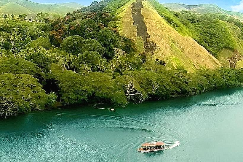
Sigatoka River: 2.0km East
Kula Wild Adventure Park: 9.0km East
Sigatoka Valley Road: 5.5km Northeast