Information
Landmark: Tana WaterfallsCity: Antananarivo
Country: Madagascar
Continent: Africa
Tana Waterfalls, Antananarivo, Madagascar, Africa
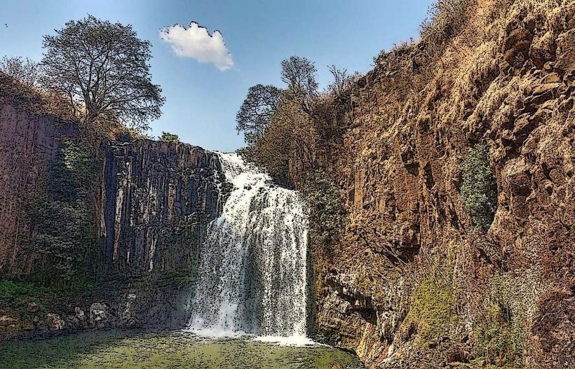
The Tana Waterfalls refer to various smaller cascades and river drops found within the broader Antananarivo region of Madagascar, rather than a single, prominent landmark.
Visual Characteristics
Waterfalls in the Antananarivo region typically feature reddish-brown water due to lateritic soil runoff, cascading over granite or gneiss rock formations. Surrounding vegetation often includes eucalyptus, pine, and indigenous scrub, with varying density depending on proximity to agricultural land or protected areas. Individual cascades vary in height from a few meters to over twenty meters, often forming multiple tiers.
Location & Access Logistics
As 'Tana Waterfalls' is a generalized term, specific access varies. Many smaller cascades are located along the Ikopa River tributaries or within rural areas surrounding Antananarivo. Access often requires travel on unpaved secondary roads. For example, some smaller falls might be found 20-40km from the city center, requiring private vehicle transport. Parking is typically informal roadside space. Public transport options are limited to taxi-brousse services to nearby villages, followed by walking.
Historical & Ecological Origin
The waterfalls in the Antananarivo region are primarily of geological origin, formed by the erosion of the central highlands' ancient crystalline basement rocks, predominantly granite and gneiss. These formations date back to the Precambrian era. Ecologically, they are part of the Madagascar subhumid forests ecoregion, characterized by a mix of introduced and relict native flora. The cascades contribute to the hydrological network of the Ikopa River basin.
Key Highlights & Activities
Activities at these various waterfall sites are generally informal. Visitors may engage in observation of the cascades, photography, and picnicking in adjacent clearings. Some locations might permit wading in shallow pools at the base of smaller falls. Organized tours specifically for 'Tana Waterfalls' are not common; visits are typically part of broader regional excursions.
Infrastructure & Amenities
Infrastructure at most waterfall sites in the Antananarivo region is minimal to non-existent. Restrooms are generally unavailable. Shade is provided by natural tree cover. Cell phone signal (4G/5G) can be intermittent or weak, especially in more remote locations. Food vendors are not typically present directly at the waterfall sites; visitors should bring their own provisions.
Best Time to Visit
The best time to visit waterfalls in the Antananarivo region is during the dry season, from April to October, when rainfall is lower and access roads are more navigable. Water flow is reduced but still present. During the wet season (November to March), water volume is higher, but heavy rains can make roads impassable and increase water turbidity. For photography, mid-morning or late afternoon light is generally suitable, avoiding harsh midday sun.
Facts & Legends
While no specific legends are tied to a singular 'Tana Waterfalls,' local Malagasy folklore often associates natural water bodies with ancestral spirits (razana) and fady (taboos). It is common for certain pools or rock formations near water to be considered sacred. A practical tip for visitors is to wear sturdy footwear suitable for uneven terrain and to carry sufficient water and snacks, as facilities are scarce.
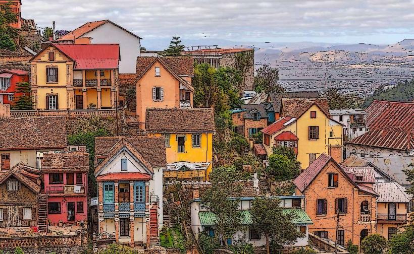
Nearby Landmarks
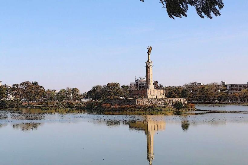
- Lake Anosy: 5-10km East
- Rova of Antananarivo: 8-12km East
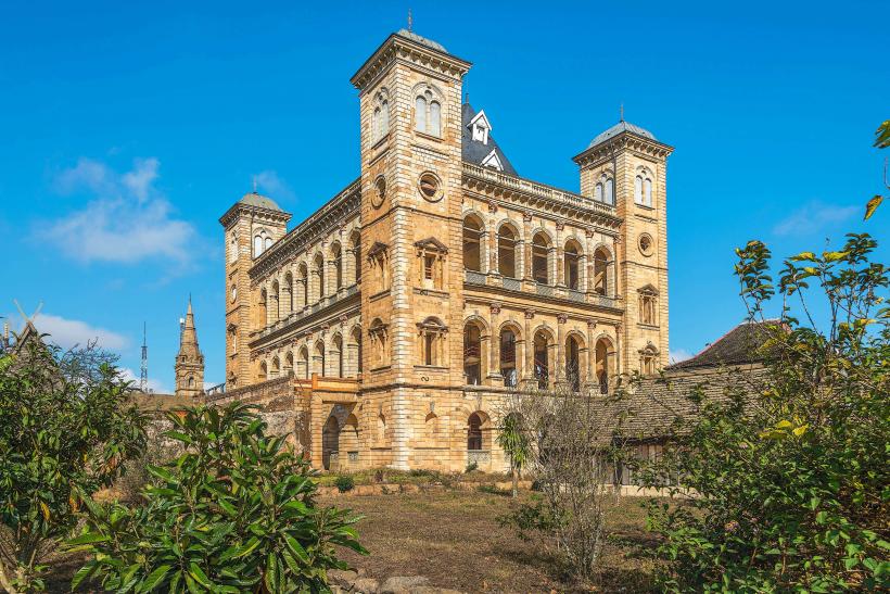
- Ambohimanga Royal Hill: 25-30km North
- Croc Farm (Crocodyl Farm Ivato): 15-20km North