Information
Landmark: Totoralillo BeachCity: La Serena
Country: Chile
Continent: South America
Totoralillo Beach, La Serena, Chile, South America
Totoralillo Beach is a coastal area situated approximately 20 kilometers south of La Serena, Chile.
This location is characterized by its distinct horseshoe shape, formed by two peninsulas that create a sheltered bay.
Visual Characteristics
The beach features fine, light-colored sand. The bay's waters are typically calm and shallow within the protected area, transitioning to deeper, more open ocean conditions towards the headlands. The surrounding landscape consists of low, arid hills with sparse vegetation.
Location & Access Logistics
Totoralillo Beach is accessible via the Ruta 5 (Pan-American Highway) South. Take the exit for Totoralillo. The site is approximately 20 kilometers from the center of La Serena. Parking is available on-site, often on unpaved areas adjacent to the beach access points. Public transport options are limited; local buses serving the coastal route may stop nearby, requiring a short walk to the beach.
Historical & Ecological Origin
The bay's formation is a result of coastal erosion and sedimentation processes over geological time. Ecologically, it is part of the coastal desert biome, adapted to arid conditions.
Key Highlights & Activities
Activities include swimming in the sheltered bay, sunbathing, and beachcombing. The calmer waters are suitable for beginner paddleboarding. The rocky areas at the base of the peninsulas can be explored during low tide.
Infrastructure & Amenities
Basic amenities are present during peak season, which may include portable restrooms and a limited number of food vendors. Shade is minimal, primarily provided by natural rock formations. Cell phone signal (4G) is generally available.
Best Time to Visit
The best time for swimming and water activities is during the summer months (December to February). For photography, early morning or late afternoon offers softer light. High tide is generally preferred for water access.
Facts & Legends
Local lore suggests that the bay's shape was influenced by ancient coastal spirits guiding fishermen. A specific tip for visitors is to check tide charts, as low tide exposes tidal pools teeming with small marine life along the rocky edges of the peninsulas.
Nearby Landmarks
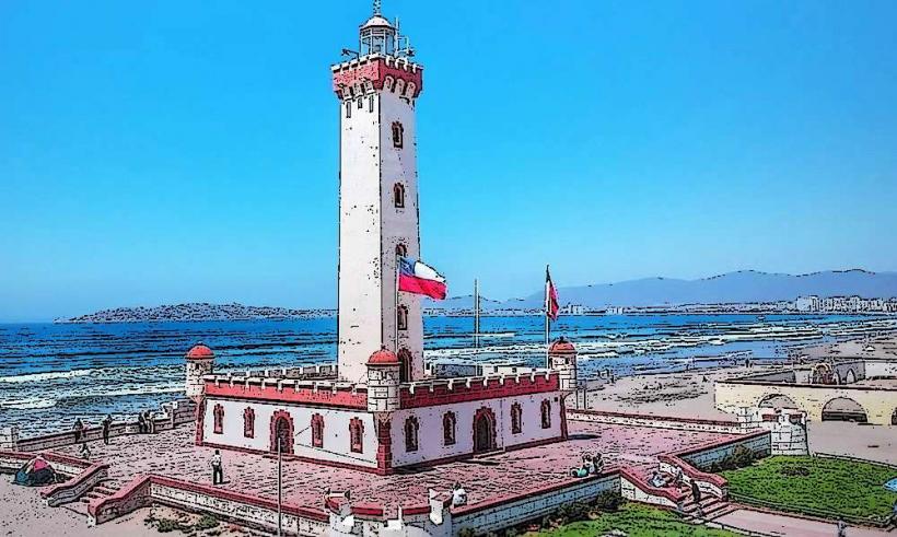
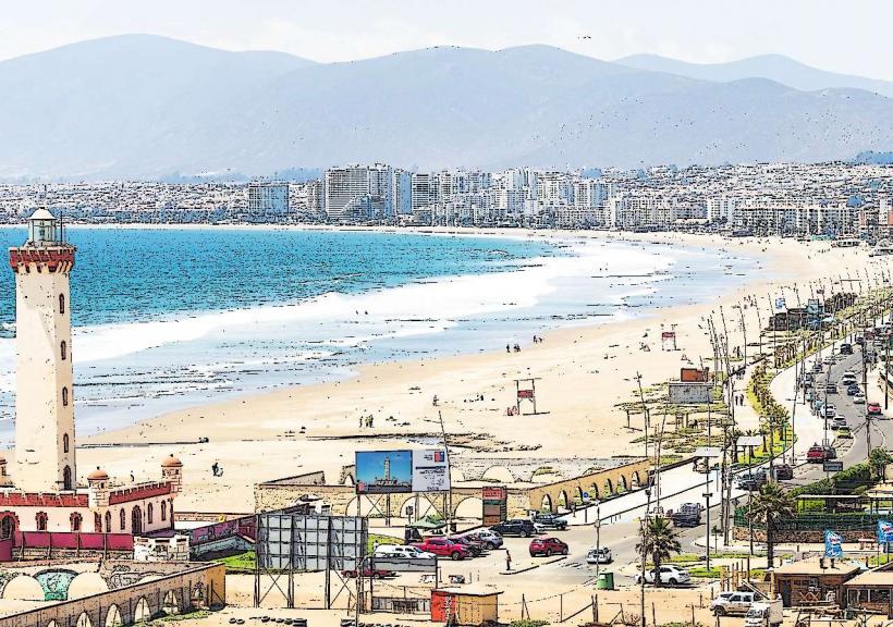
- El Faro Monument (La Serena) - 18km North
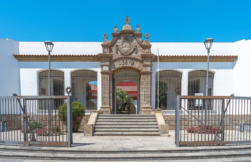
- La Serena Archaeological Museum - 19km North
- Puerta de La Serena - 20km North
- Parque Gabriel Coll - 21km North