Information
Landmark: Tsingy de BemarahaCity: Morondava
Country: Madagascar
Continent: Africa
Tsingy de Bemaraha, Morondava, Madagascar, Africa
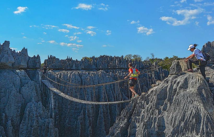
The Tsingy de Bemaraha National Park is a UNESCO World Heritage Site characterized by extensive limestone karst formations, located in the Melaky Region of western Madagascar.
Visual Characteristics
The landscape consists of sharp, needle-like limestone pinnacles, known as "tsingy," which can reach heights exceeding 100 meters. These formations are predominantly greyish-white to reddish-brown, carved into intricate patterns by erosion. Deep canyons and gorges separate the tsingy, often containing dense dry deciduous forest and unique cave systems.
Location & Access Logistics
The park is situated approximately 150-200 kilometers north of Morondava. Access is primarily via a challenging dirt road (RN8) that requires a 4x4 vehicle, especially during the dry season. The journey from Morondava to the main park entrance near Bekopaka can take 8-12 hours. There are no direct public transport options; private vehicle hire is necessary. Parking facilities are available at the park entrances.
Historical & Ecological Origin
Tsingy de Bemaraha is a geological formation classified as karst topography. It was formed over millions of years by the erosion of a thick limestone bed, creating a "forest" of sharp pinnacles, subterranean rivers, and caves. Ecologically, it is a critical habitat for a diverse range of endemic flora and fauna, including dry deciduous forest species and specialized cave ecosystems.
Key Highlights & Activities
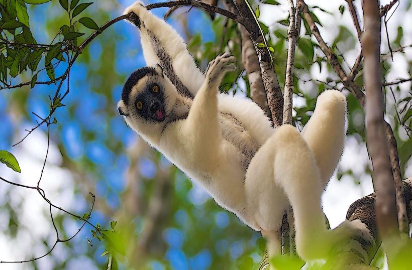
Visitors can undertake guided hikes through the "Grand Tsingy" and "Petit Tsingy" circuits, which involve climbing via fixed ropes, ladders, and suspension bridges. Exploring the caves within the Manambolo Gorge is possible by canoe. Wildlife observation includes various lemur species, such as Decken's sifaka, and numerous bird species. Canoeing on the Manambolo River offers a different perspective of the landscape.
Infrastructure & Amenities
Basic restrooms are available at the main park entrances and some designated campsites. Shade is limited on the exposed tsingy formations, but forest sections provide cover. Cell phone signal (4G/5G) is intermittent or non-existent within the park boundaries. Basic food vendors and guesthouses are available in the nearby village of Bekopaka.
Best Time to Visit
The optimal time to visit is during the dry season, from May to October, when the access roads are passable. The park is typically closed from November to April due to heavy rains making roads impassable. For photography, early morning or late afternoon light provides softer illumination on the limestone pinnacles.
Facts & Legends
The Malagasy word "Tsingy" translates to "where one cannot walk barefoot," accurately describing the sharp, jagged nature of the rock formations. The park is a sanctuary for numerous endemic species, including several types of lemurs and reptiles, many of which are uniquely adapted to this extreme environment.
Nearby Landmarks
- Bekopaka Village: Adjacent to the park entrance.
- Manambolo River Gorge: Adjacent to the park, accessible by canoe.
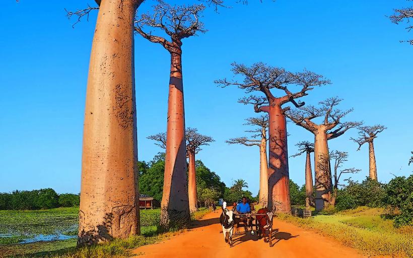
- Avenue of the Baobabs: Approximately 150km South.
- Kirindy Mitea National Park: Approximately 100km South-West.