Information
Landmark: Tumbes Mangrove Forest (Manglares de Tumbes):City: Tumbes
Country: Peru
Continent: South America
Tumbes Mangrove Forest (Manglares de Tumbes):, Tumbes, Peru, South America
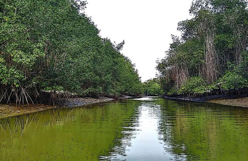
The Tumbes Mangrove Forest, known locally as Manglares de Tumbes, is a protected area situated in the Tumbes region of northwestern Peru.
Visual Characteristics
This ecosystem is characterized by dense stands of red mangrove (Rhizophora mangle), black mangrove (Avicennia germinans), and white mangrove (Laguncularia racemosa). The water within the forest is brackish, varying in color from muddy brown to a darker, tea-like hue depending on tidal flow and sediment content. The terrain consists of intertidal mudflats and channels, with exposed root systems of the mangrove trees forming intricate networks.
Location & Access Logistics
The Tumbes Mangrove Forest is located approximately 20 kilometers west of the city of Tumbes. Access is primarily via the Pan-American Highway (Carretera Panamericana Norte) heading towards Zorritos. Turnoffs for the mangrove area are marked. Parking is available at designated points near the entrance to the reserve, often associated with boat tour operators. Public transport options are limited; shared taxis or private vehicles are the most practical means of reaching the site from Tumbes city.
Historical & Ecological Origin
The Tumbes Mangrove Forest is a natural geological formation, classified as a tropical intertidal mangrove ecosystem. Its existence is a result of the confluence of freshwater rivers from the Andes and the saline waters of the Pacific Ocean, creating ideal conditions for mangrove growth over millennia. The area was officially declared a National Sanctuary in 1988 to protect its biodiversity and ecological functions.
Key Highlights & Activities
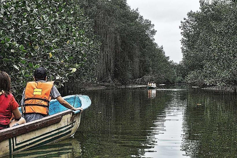
Boat tours through the mangrove channels are the primary activity. Visitors can observe diverse birdlife, including frigatebirds, pelicans, and various heron species. Wildlife spotting may include crabs, mollusks, and potentially American crocodiles. Kayaking is also an option for independent exploration of the waterways. Fishing is permitted in designated zones under specific regulations.
Infrastructure & Amenities
Basic infrastructure includes a visitor center with information displays. Restrooms are available at the visitor center and some tour operator points. Shade is provided by the mangrove canopy in certain areas. Cell phone signal (4G/5G) is generally weak or absent within the core mangrove areas. Food vendors are typically found near the main access points and in the nearby town of Puerto Pizarro.
Best Time to Visit
The best time of day for birdwatching is early morning or late afternoon when avian activity is highest. The dry season, from May to October, offers more stable weather conditions. Tidal patterns are crucial; visiting during high tide allows for deeper navigation of the channels by boat. Low tide exposes mudflats and root systems, offering a different perspective for observation.
Facts & Legends
A notable fact is that the Tumbes Mangrove Forest is one of the southernmost mangrove ecosystems in the Eastern Pacific. Local legends speak of ancient spirits residing within the dense mangrove roots, protecting the forest and its inhabitants.
Nearby Landmarks
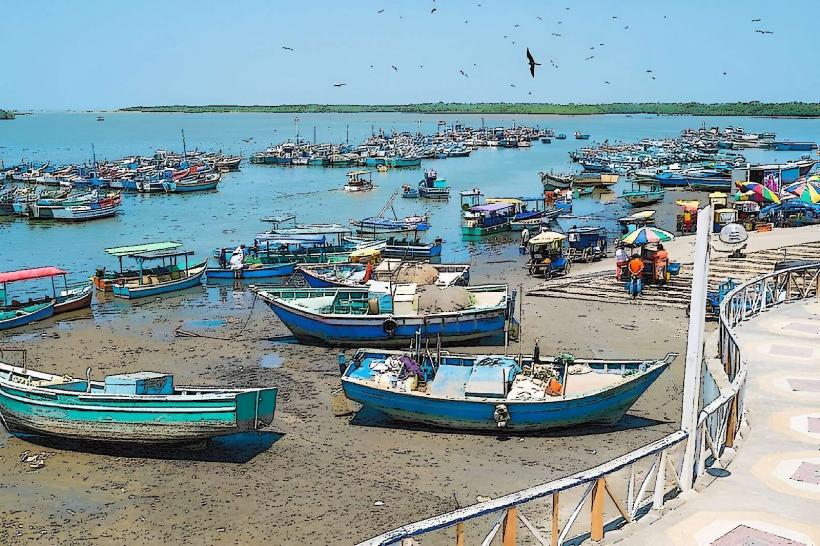
- Puerto Pizarro (0.5km East)
- Cerro de Arrecife (3km Southwest)
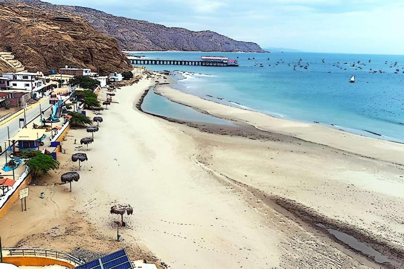
- Playa Zorritos (5km Southeast)