Information
Landmark: Vermont Nature TrailCity: Saint Vincent
Country: Saint Vincent and the Grenadines
Continent: North America
Vermont Nature Trail, Saint Vincent, Saint Vincent and the Grenadines, North America
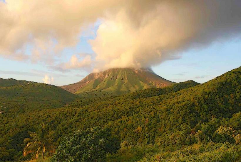
The Vermont Nature Trail is a protected ecological area located in the interior of Saint Vincent, an island nation in the Caribbean.
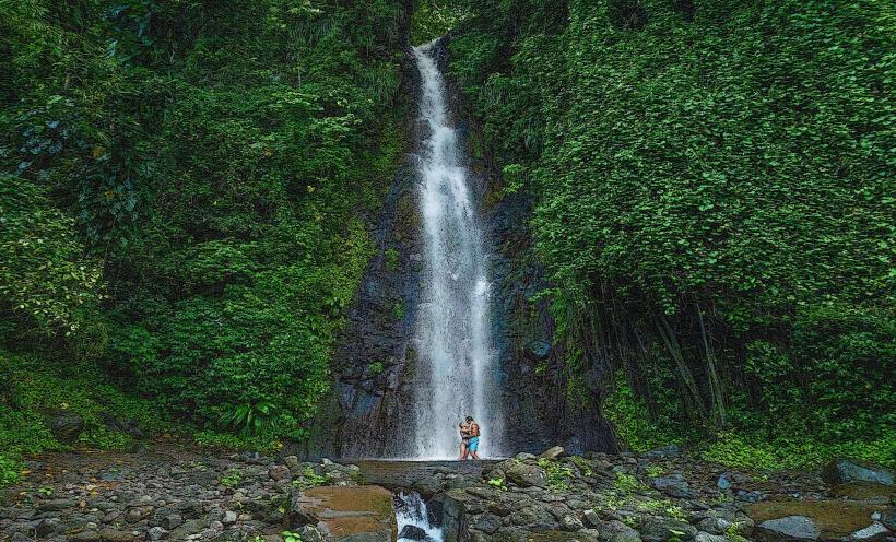
This trail system traverses a section of the island's rainforest, offering access to waterfalls and diverse flora.
Visual Characteristics
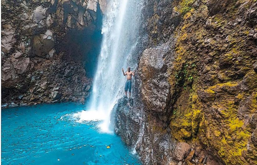
The trail is primarily composed of packed earth and gravel, with sections of wooden boardwalk and stone steps. The surrounding vegetation is dense, characterized by a high canopy of mature rainforest trees, including breadfruit, mango, and various palm species. Ferns, mosses, and epiphytes are prevalent. The trail leads to the Vermont Falls, a cascade of water flowing over dark, volcanic rock formations into a clear pool.
Location & Access Logistics
The Vermont Nature Trail is situated approximately 12 kilometers north of Kingstown, the capital city. Access is via the main Windward Highway, turning onto the Vermont Road. The drive from Kingstown takes approximately 30-40 minutes. A dedicated parking area is available at the trailhead. Public transportation options are limited; local buses (e.g., Route 10) run from Kingstown towards Vermont village, requiring a short walk from the bus stop to the trailhead.
Historical & Ecological Origin
The Vermont Nature Trail was established as part of an initiative to conserve Saint Vincent's remaining rainforest. The area's geological origin is volcanic, with the landscape shaped by past volcanic activity. The rainforest ecosystem itself is a result of the island's tropical climate and fertile volcanic soil, supporting a rich biodiversity of plant and animal life.
Key Highlights & Activities
Hiking the marked trails is the primary activity. The main trail leads to the Vermont Falls, where visitors can observe the waterfall. Shorter loop trails offer different perspectives of the rainforest. Birdwatching is possible, with opportunities to spot local avian species. Photography of the flora and fauna is permitted.
Infrastructure & Amenities
Restrooms are available at the trailhead. Shaded rest areas with benches are located along the main trail. Cell phone signal (4G) is intermittent within the rainforest. There are no on-site food vendors; visitors should bring their own provisions. Information boards detailing the local flora and fauna are present.
Best Time to Visit
The best time of day for photography is generally mid-morning to early afternoon when sunlight penetrates the canopy. The driest months, from January to April, offer the most favorable weather conditions for hiking. The trail can become slippery after rainfall.
Facts & Legends
Local folklore suggests that the pool at the base of Vermont Falls has restorative properties. A specific point on the trail, marked by a large buttress root system, is locally known as the "Whispering Tree," believed by some to carry the voices of the forest.
Nearby Landmarks
- Botanical Gardens (8km South)
- Fort Charlotte (10km South)
- Kingstown Market (12km South)
- Dark View Falls (15km Northeast)